Monday, August 22, 2022

GGB pt 3, Bad River to Baie Fine

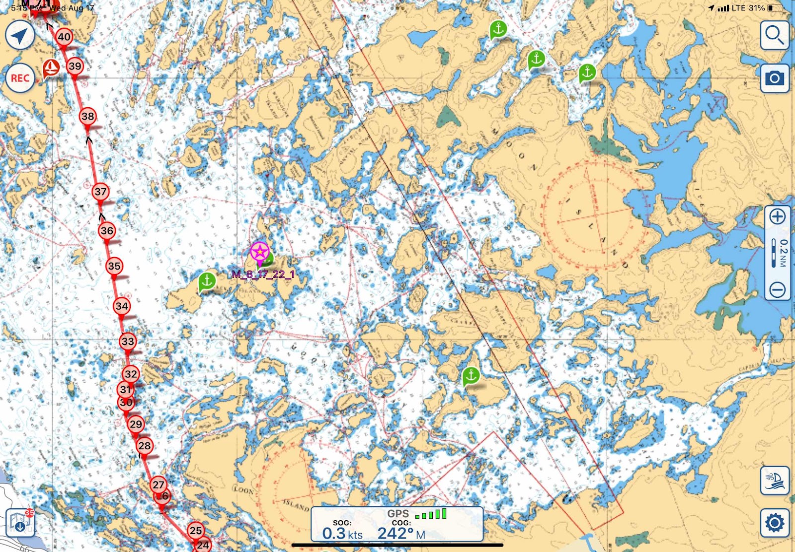
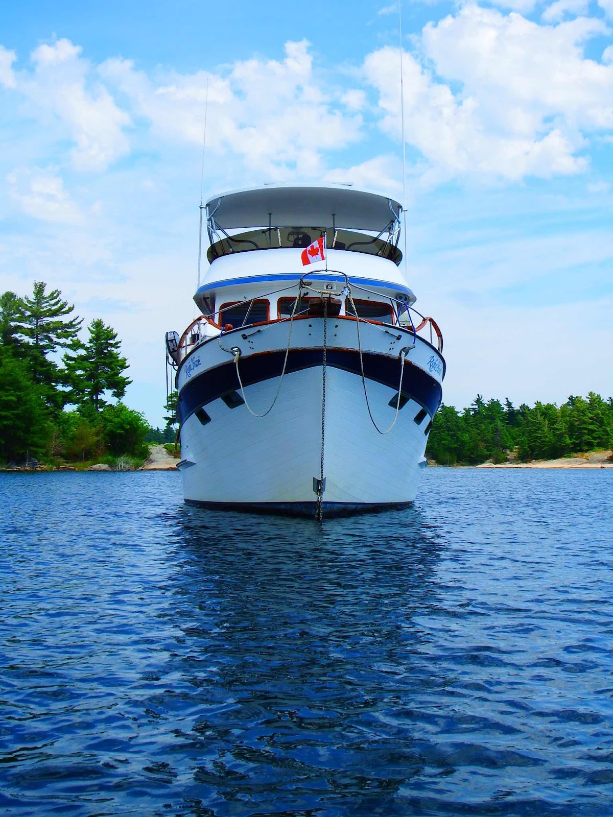
The last few posts have swept you through Georgian Bay fairly quickly, so I wanted to give you the ‘big picture’ view of where this post begins.


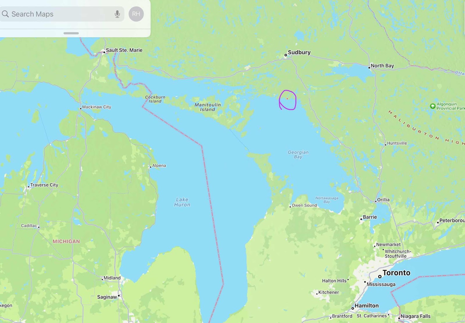
We are anchored at the red dot in the middle of the purple circle.

Bad River 45° 56’ 05”N, 80° 58’ 26”W
Exploration by dinghy and climbing!
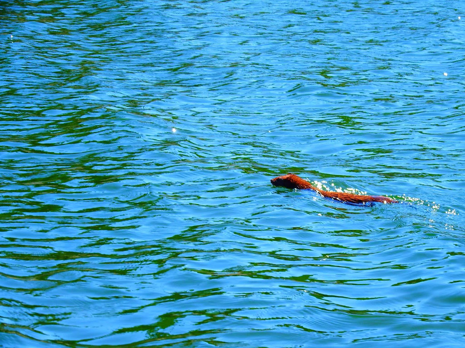
Bad River is oh so GOOD! Actually, great!  I believe Bad River (and surrounding area) was my overall favorite location in Georgian Bay!
Now for the close up view…
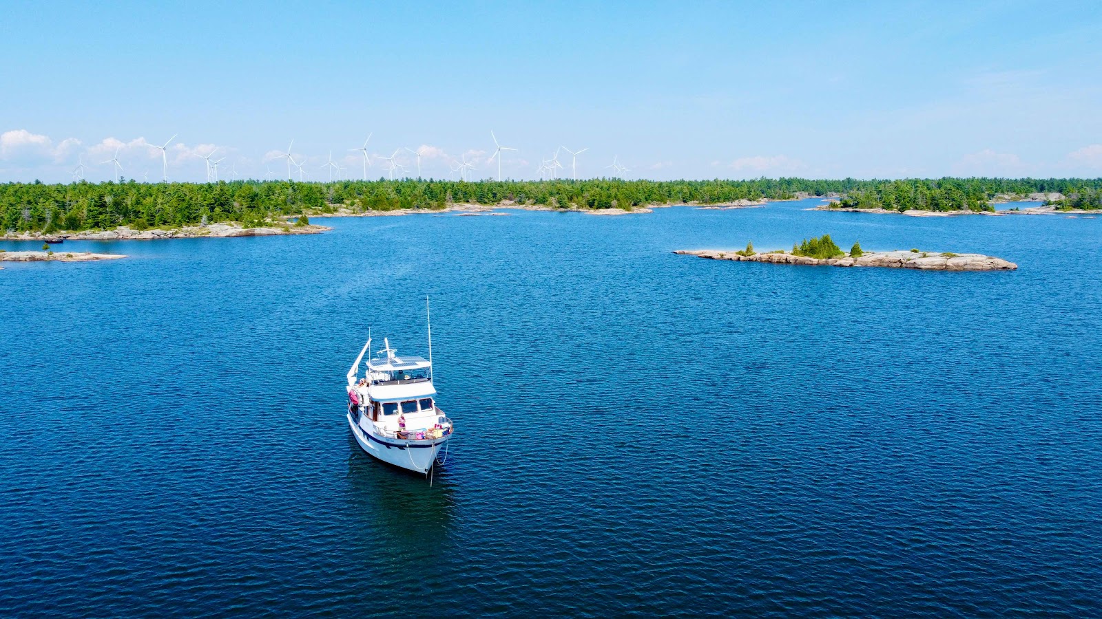
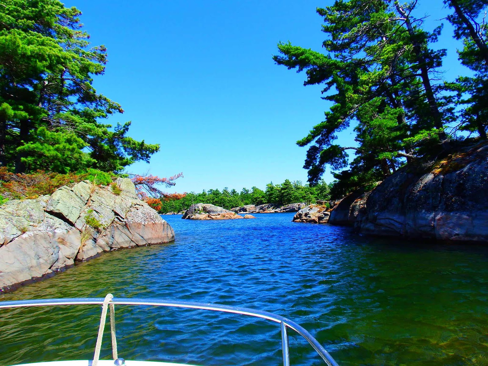
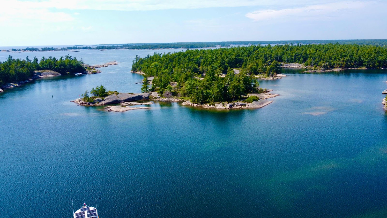
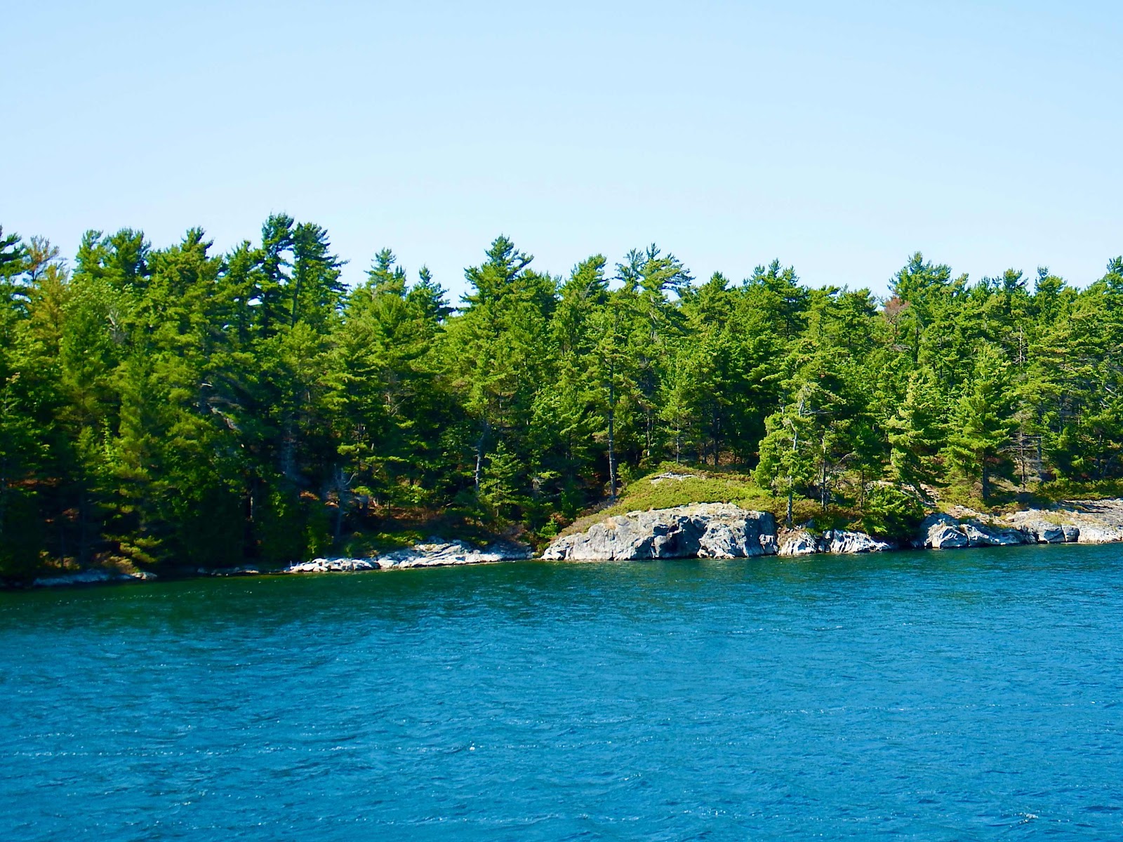
We are anchored at the pink star…ignore the red lines and numbers, those are just route plots.  Devil’s Door, Cross Channel and The Five Fingers were amazing places to explore!


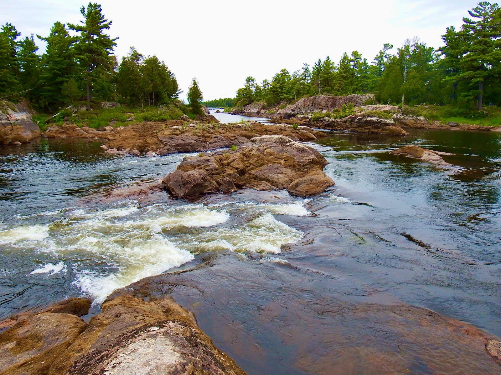
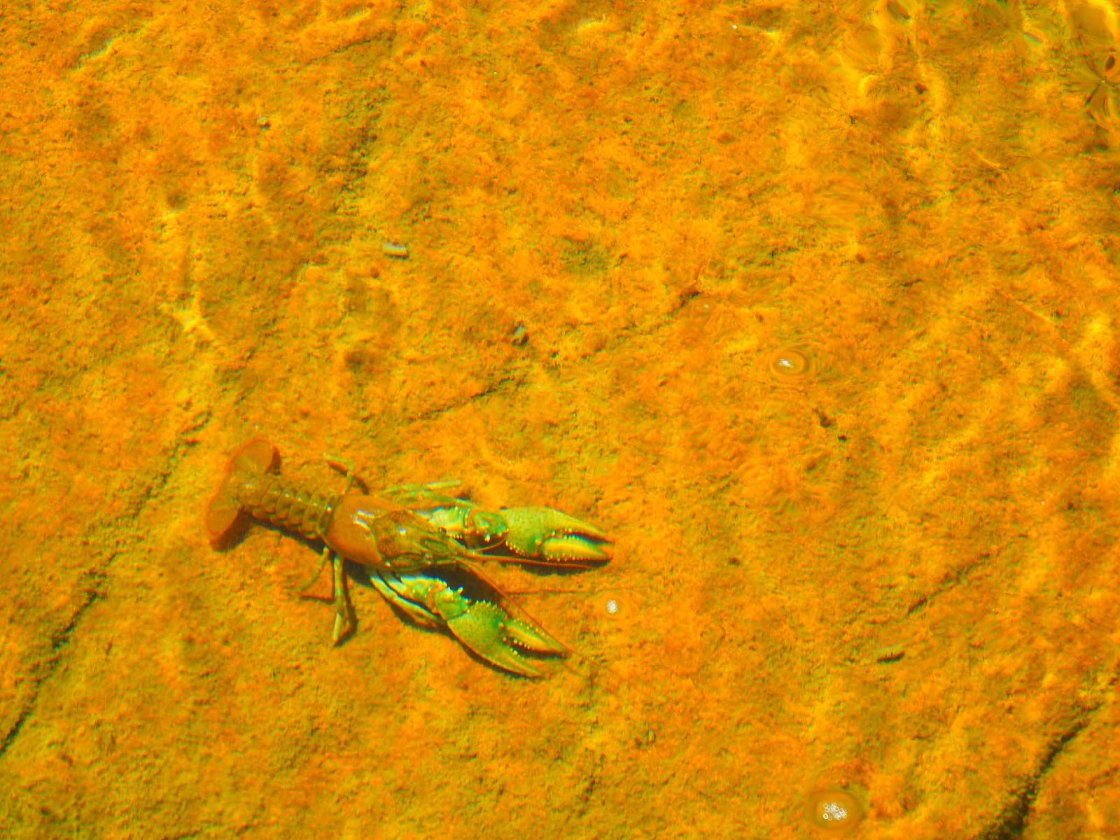
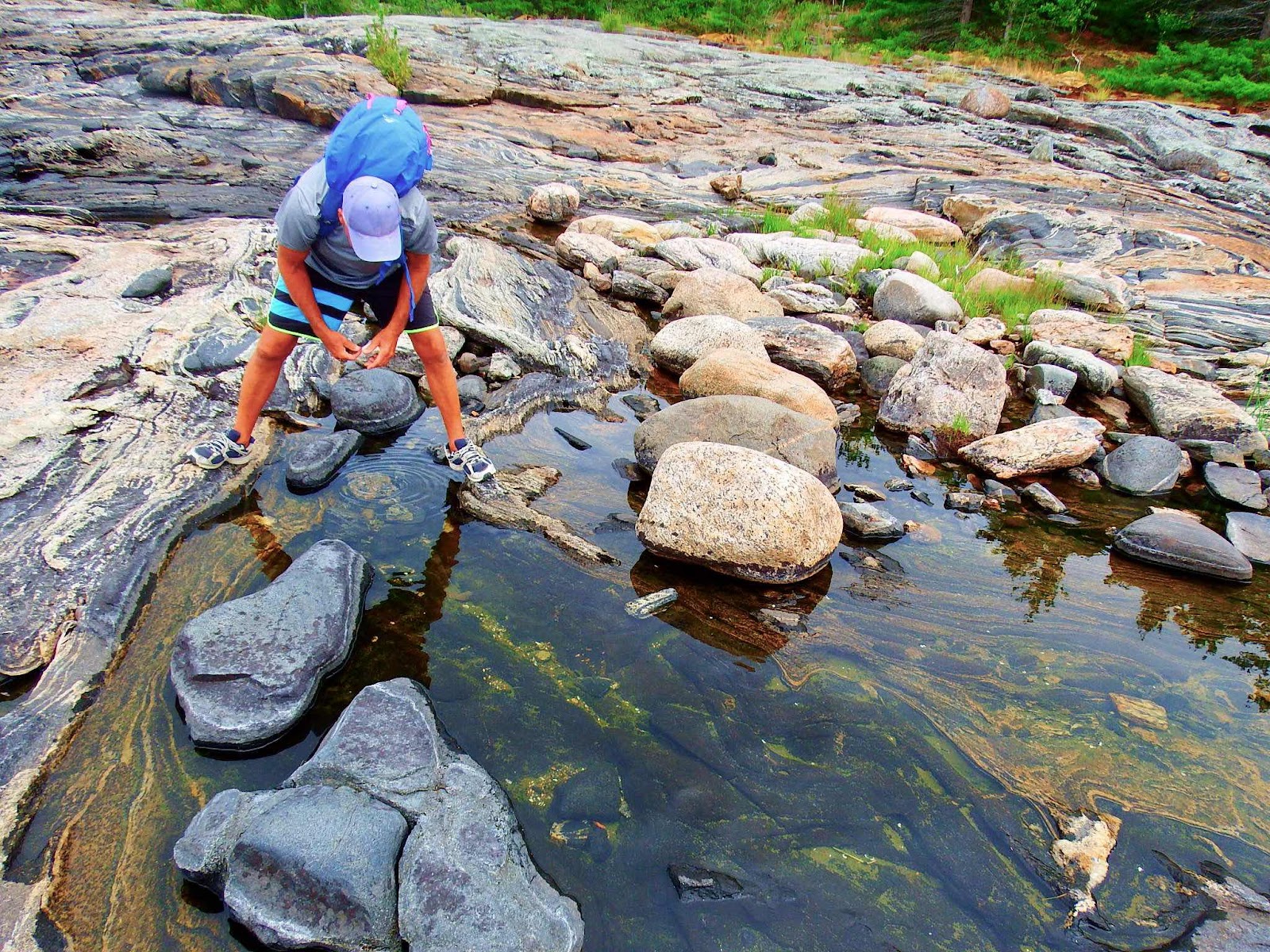
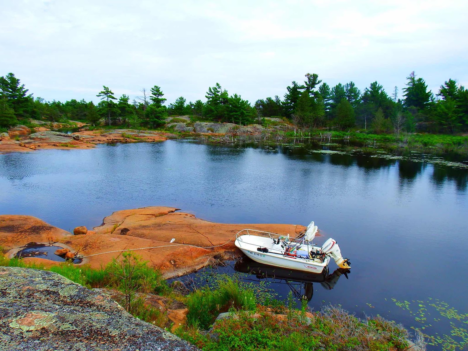
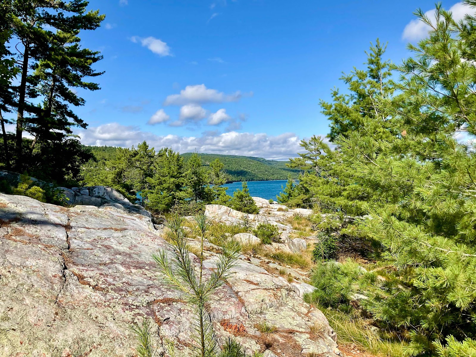
We would travel upstream as far as we could, in the Whaler, and Keith would nose up to a rock so I could climb up for a better view.


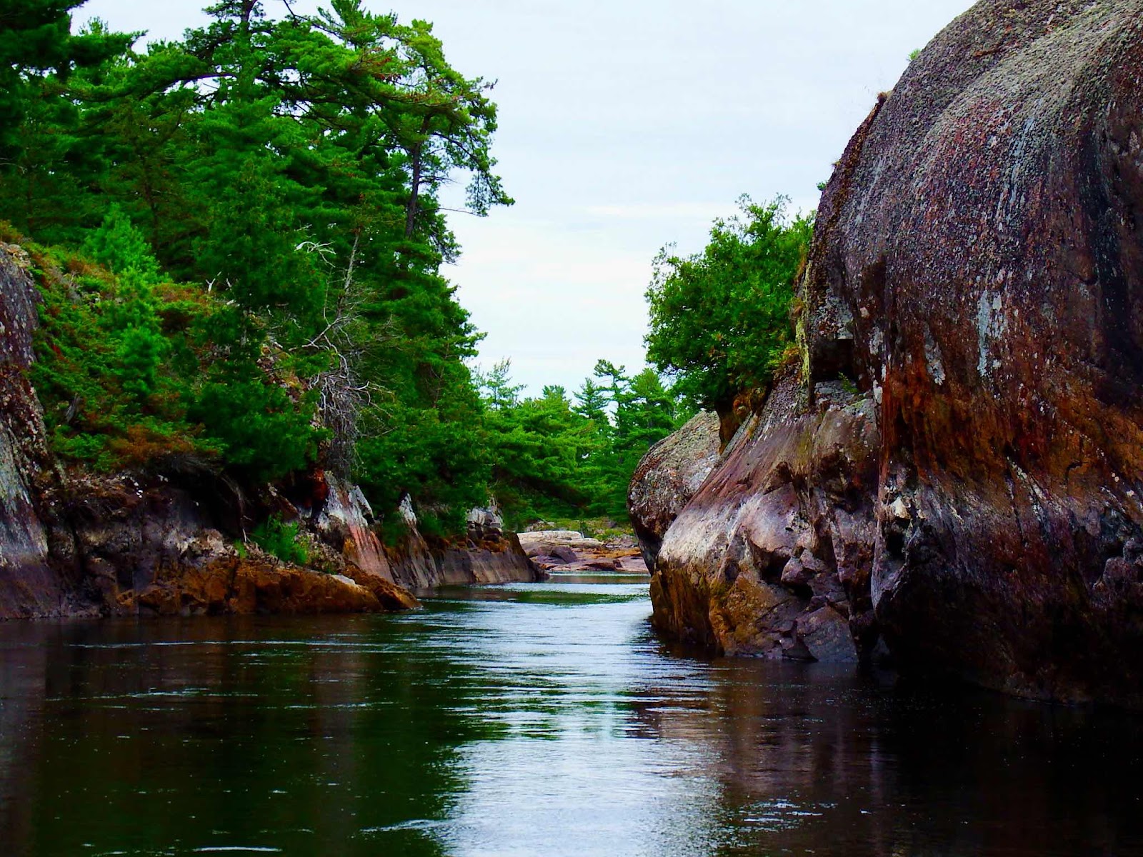
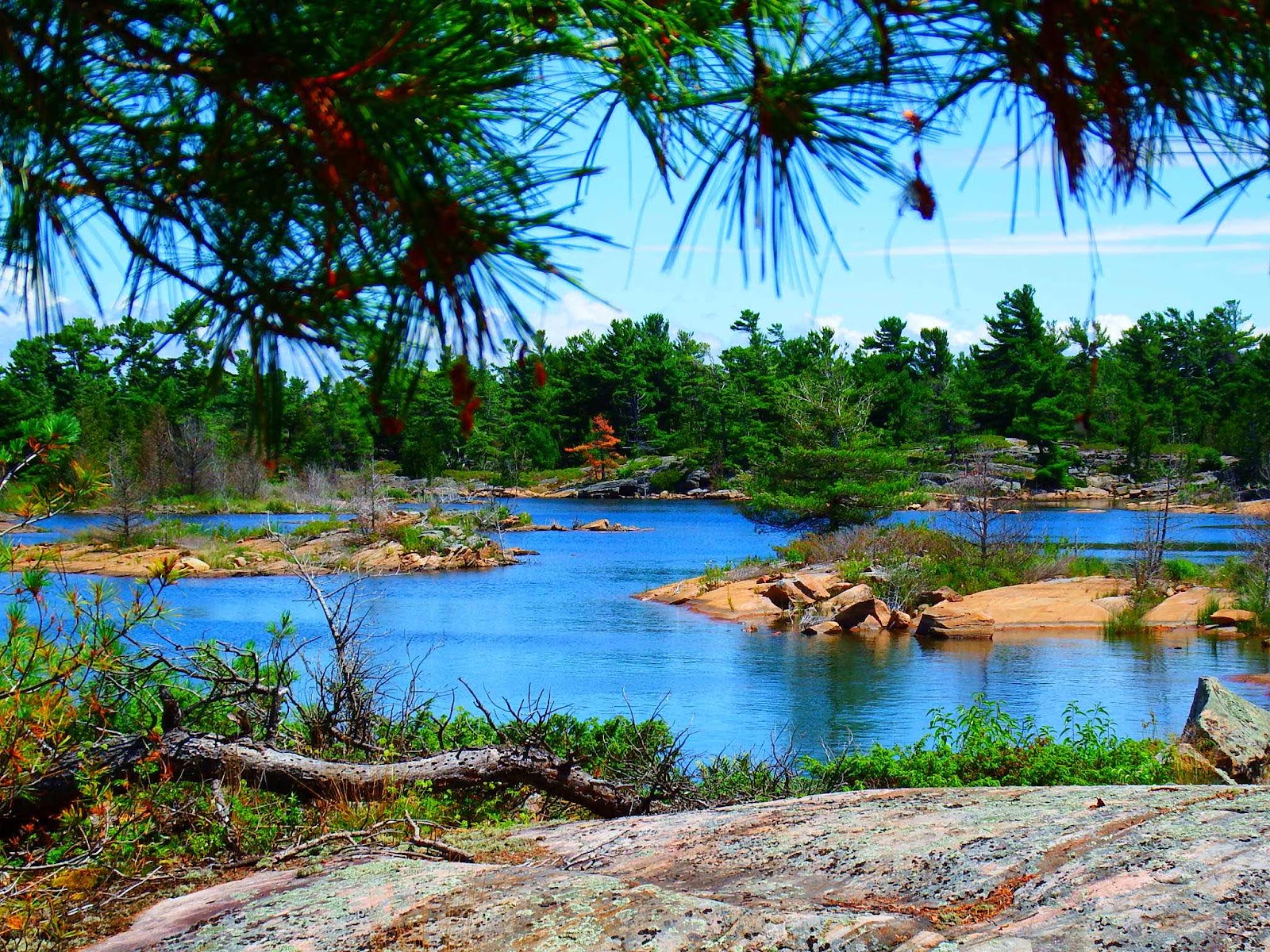
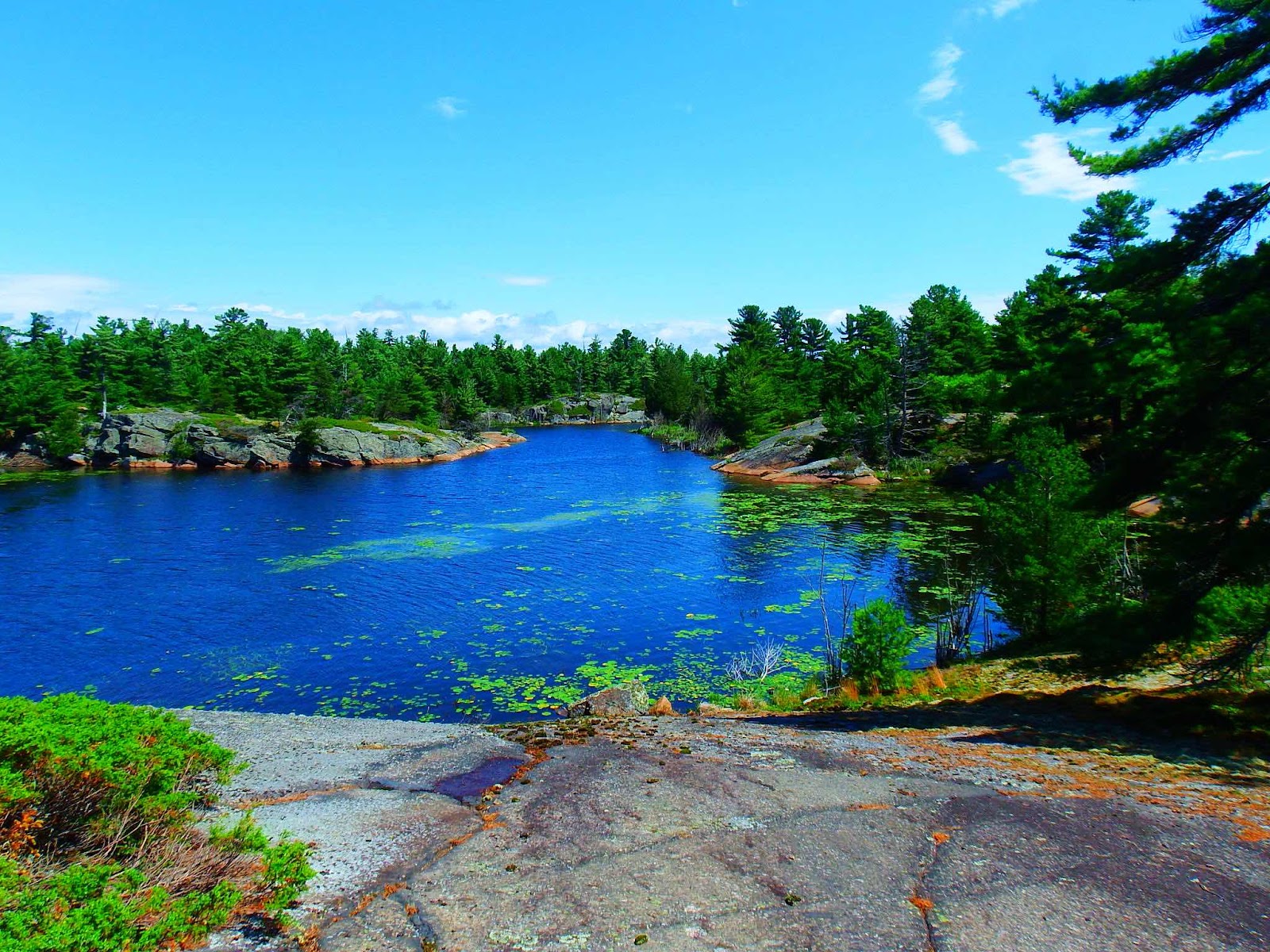
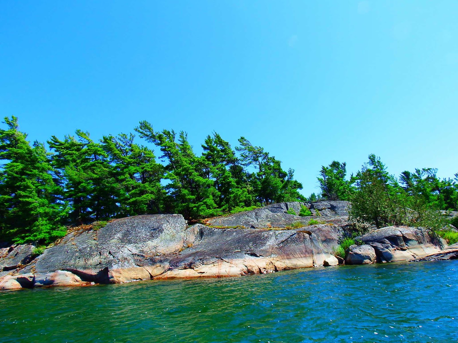
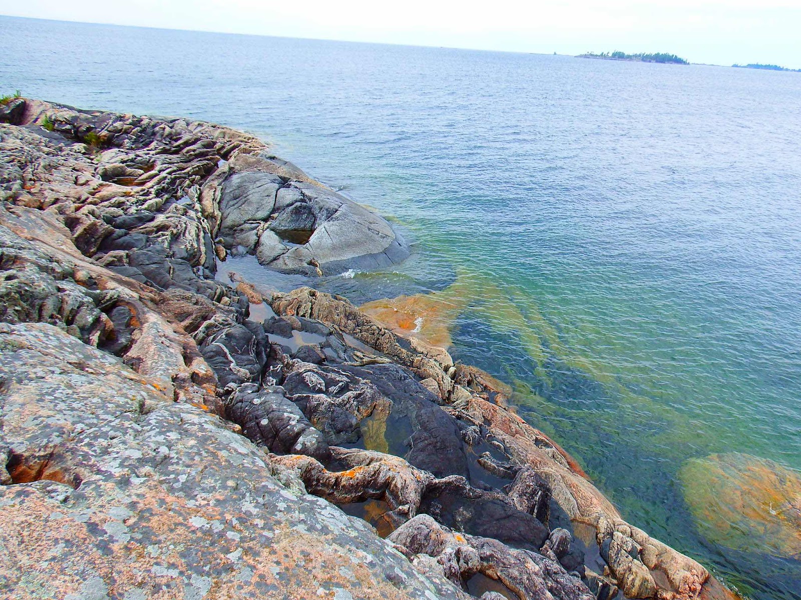
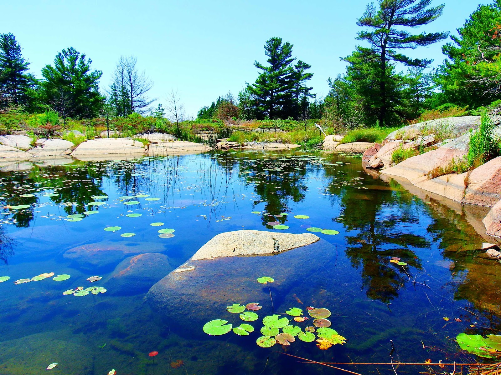
This was the first place, in Georgian Bay, where the water level seemed very low.


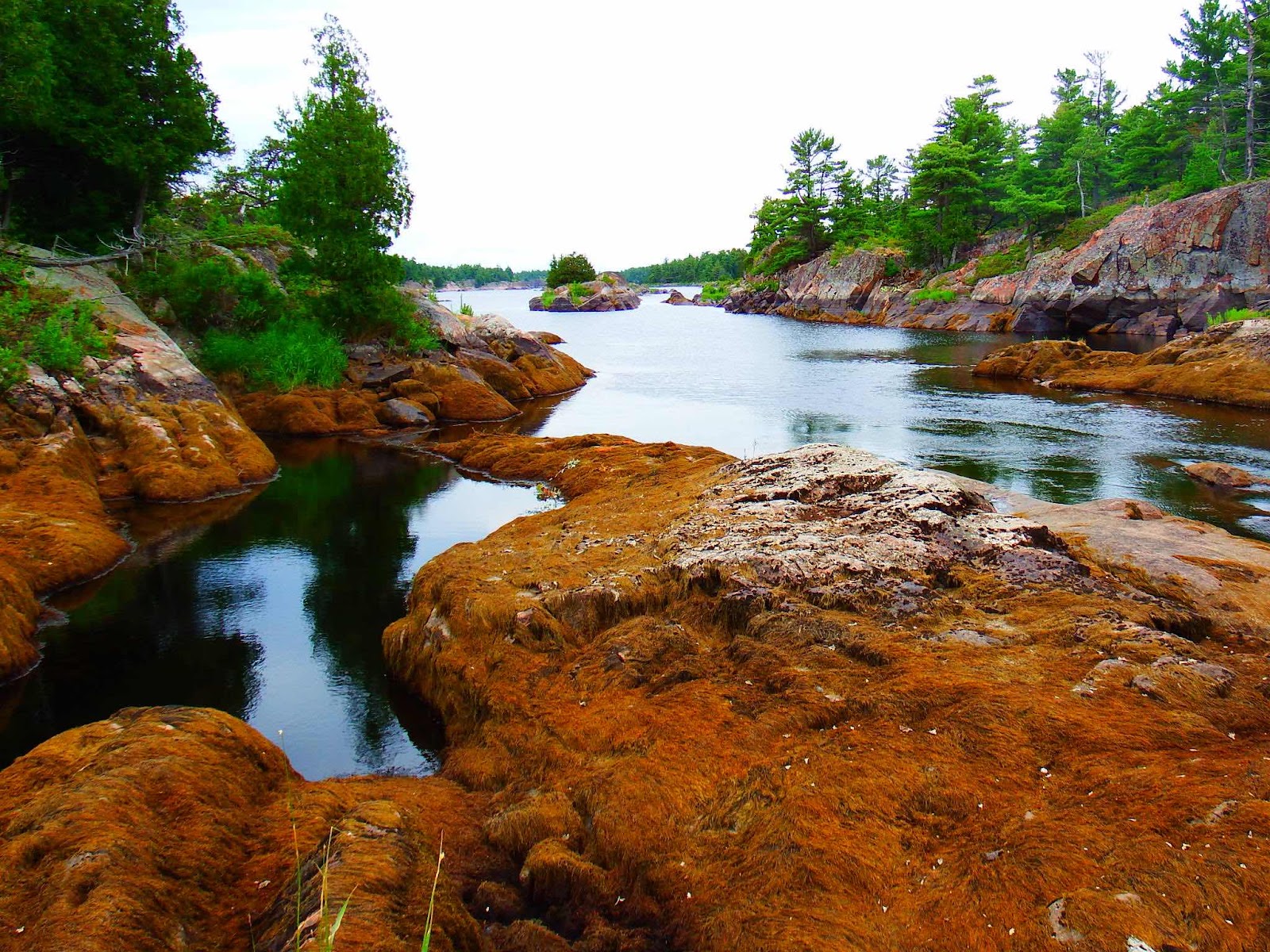
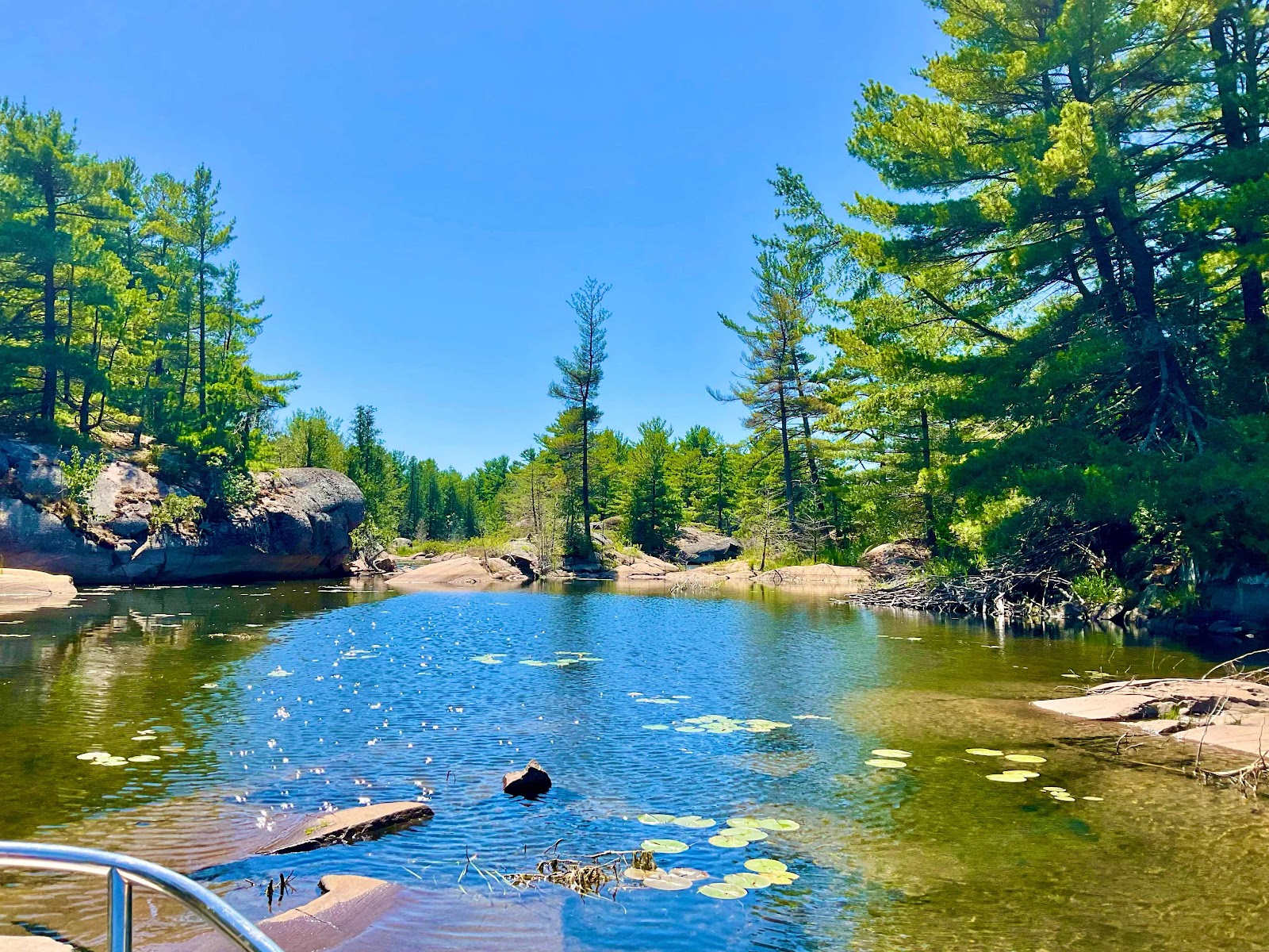
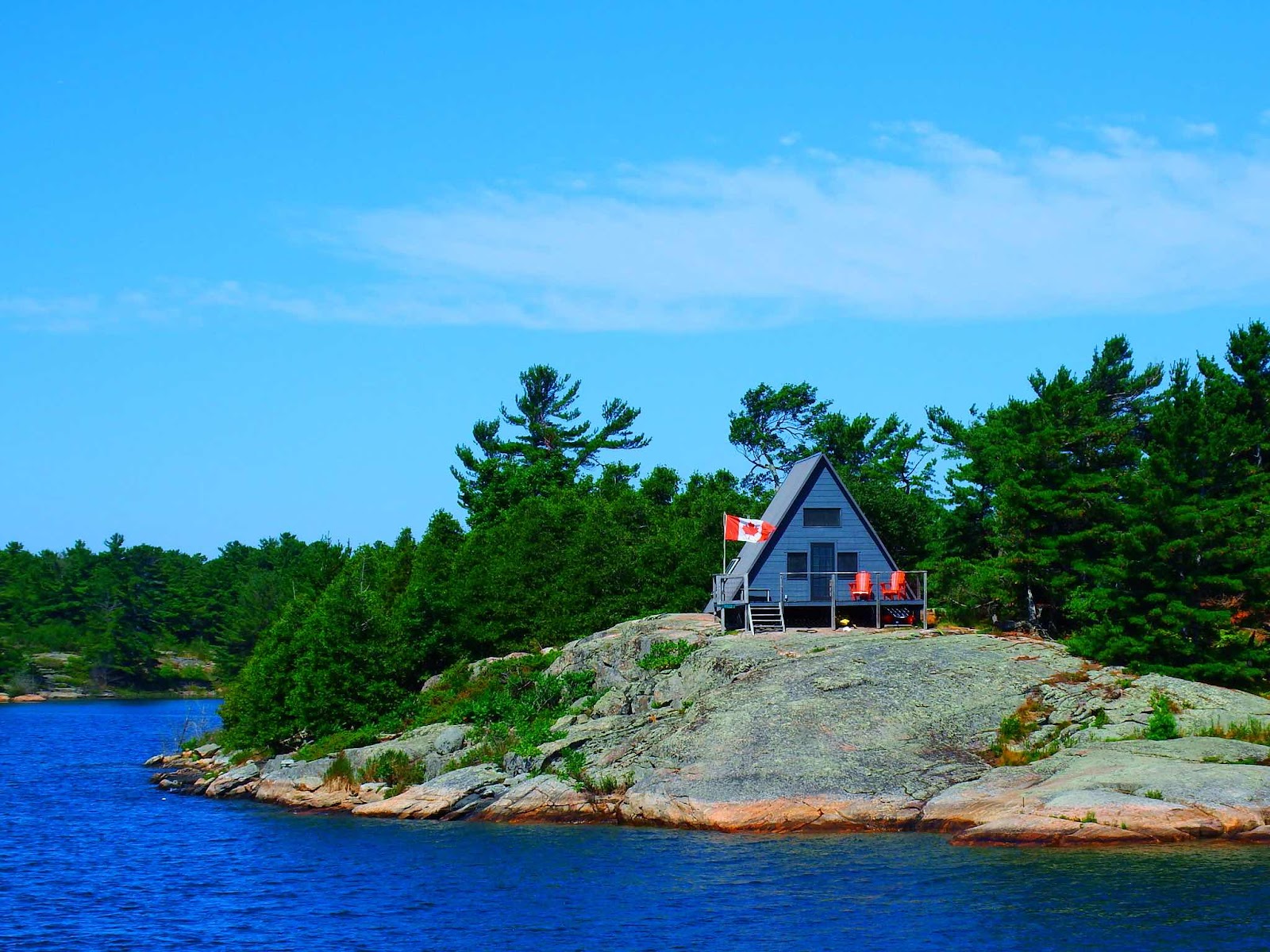
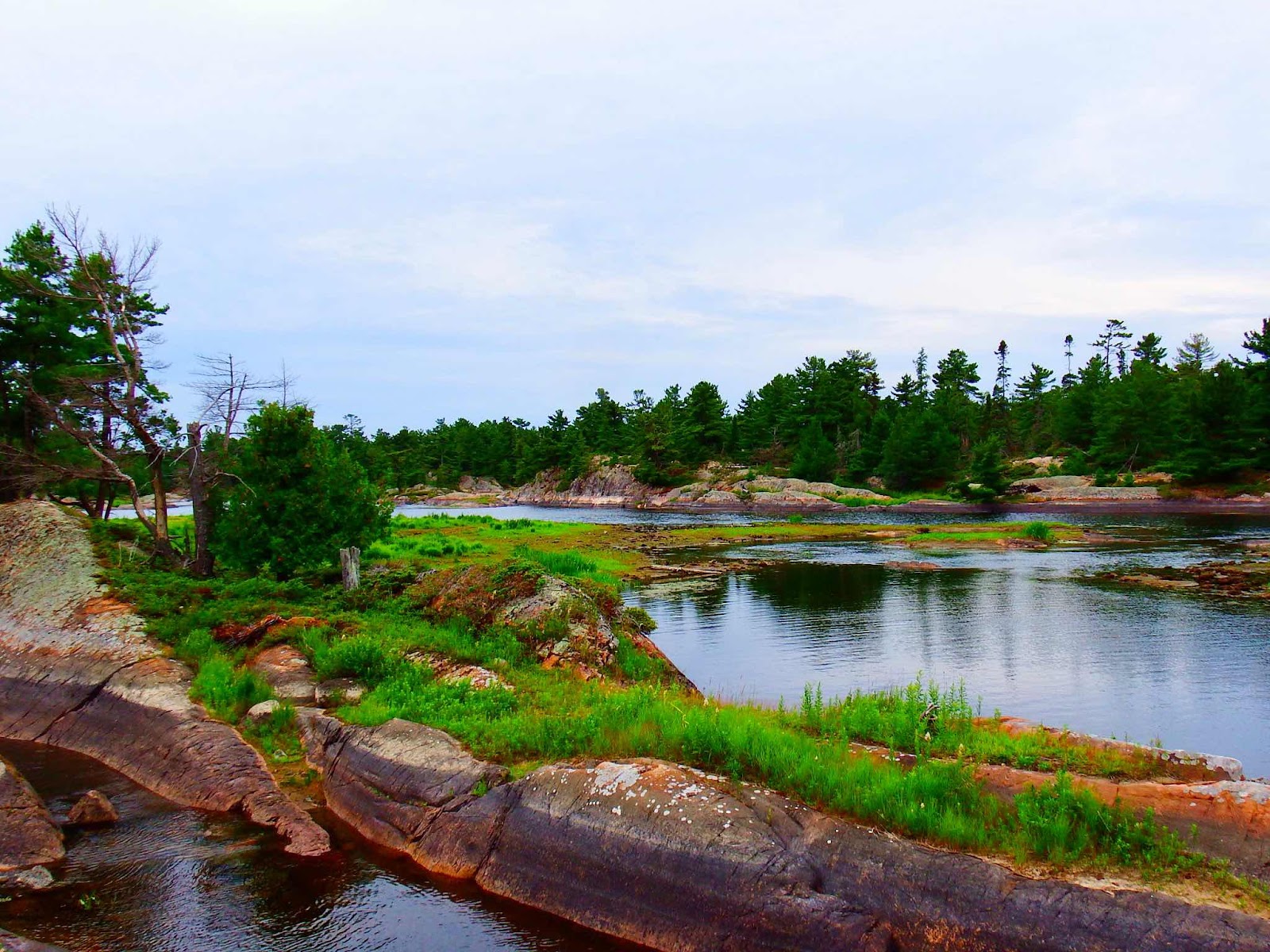
After getting our fill of the scenery on the west side of the anchorage, we headed for the east side, and found very different terrain.


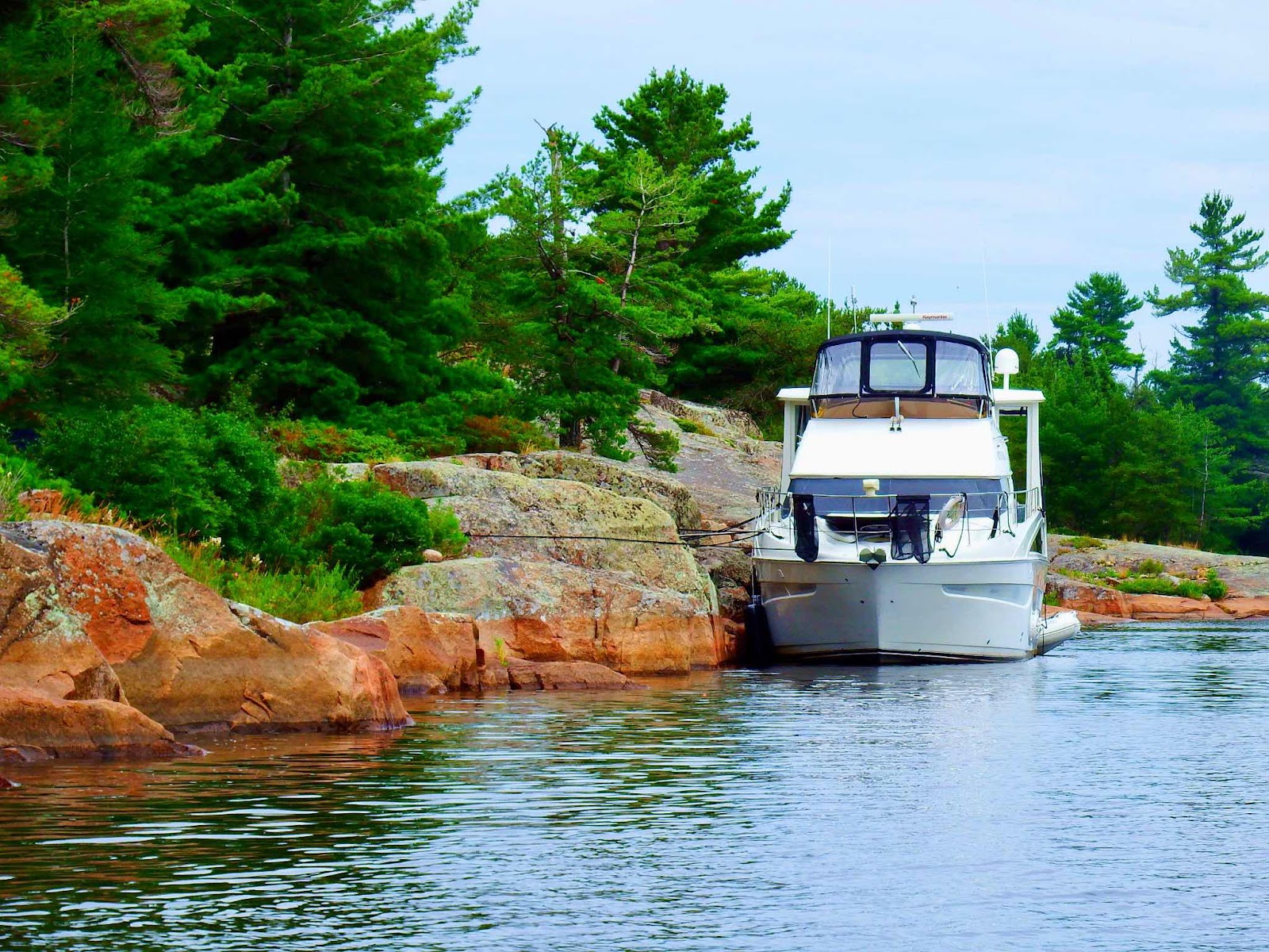
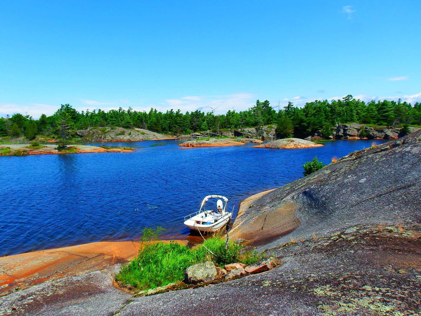
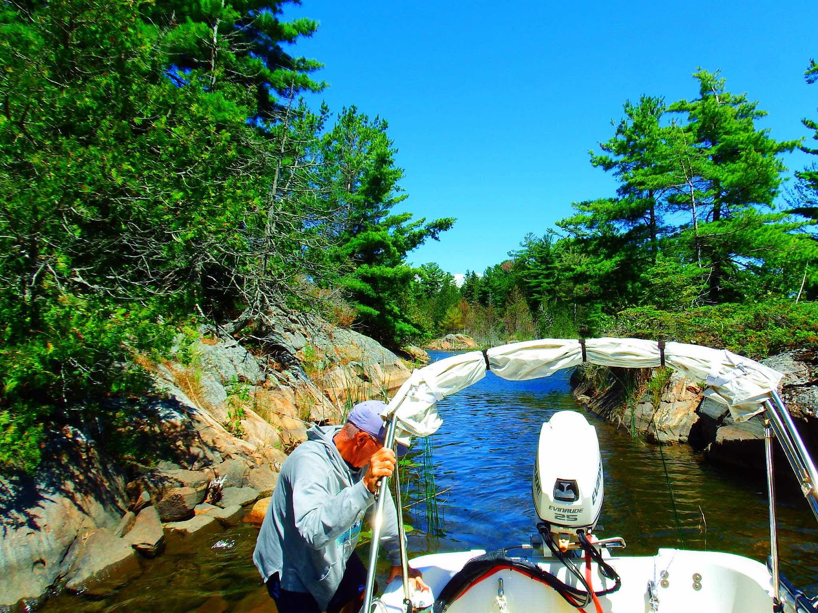
This is definitely the work of a local…no out-of-towner is going to attempt mooring there!


Time for some rock climbing!  I don’t mean ‘hang from your fingertips on a vertical face’ kind of rock climbing. You would get a more accurate visual if you imagine an intoxicated mountain goat, with 3 legs, trying to gain elevation on big smooth rocks.

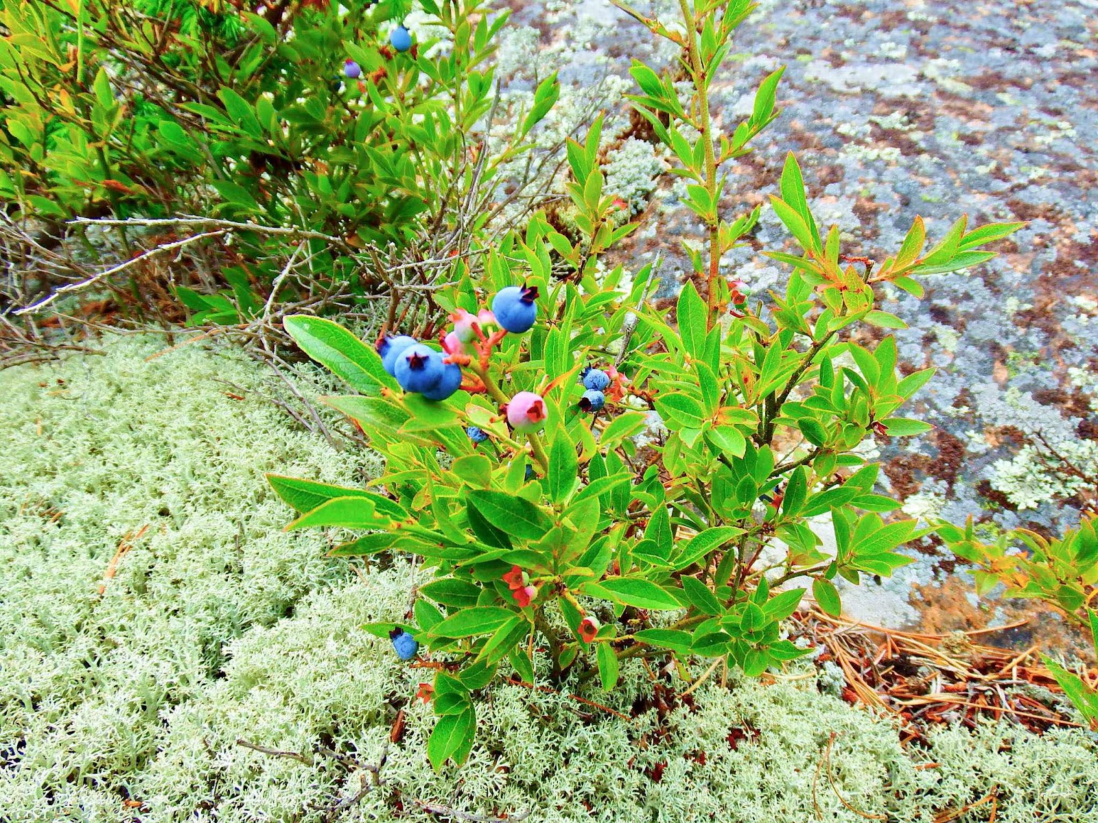
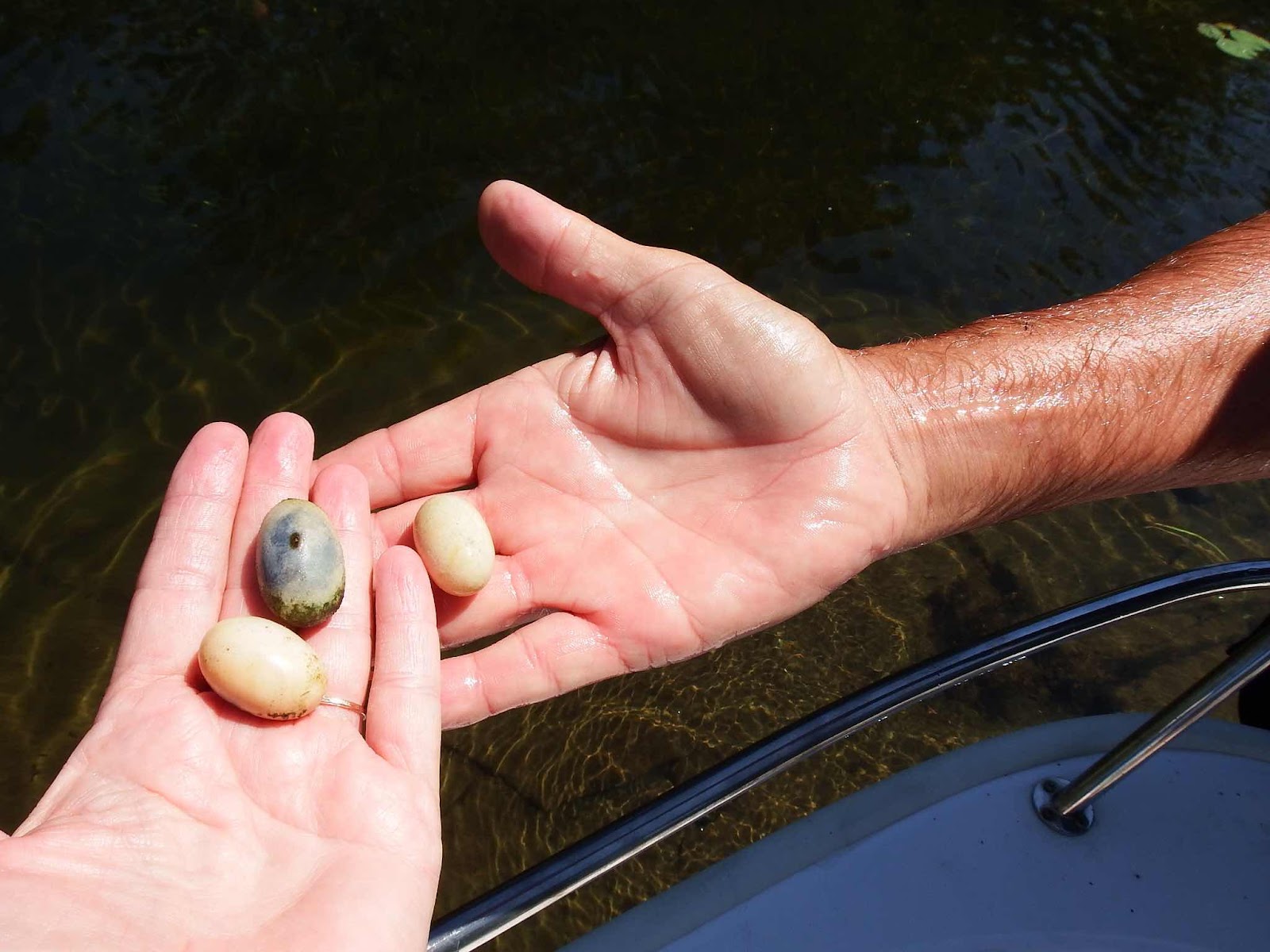
But we found BLUEBERRIES! We have been looking for wild blueberries since we entered Georgian Bay, and we thought they would be a little easier to pick.  These plants are 6-8 inches off the ground, and finding a bush with more than 2 ripe berries was very difficult. This plant is the happy exception.

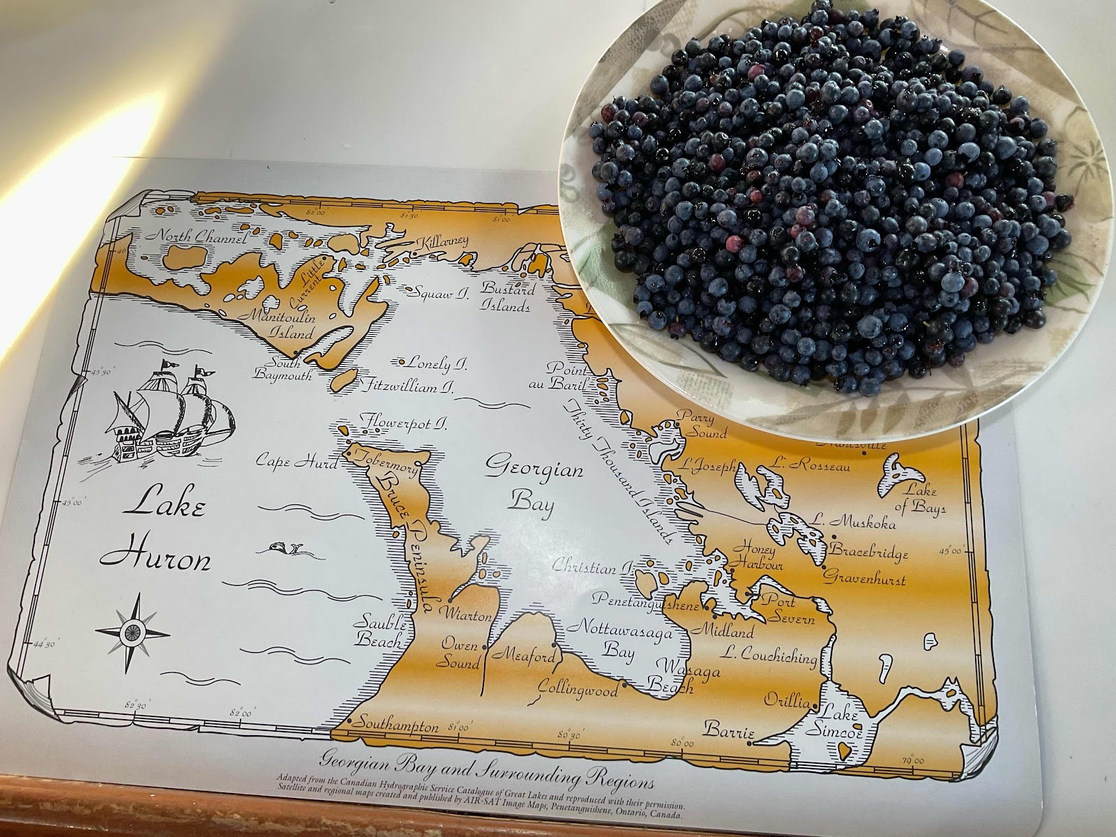
It took a lot of picking to get enough to make something, but our efforts were justly rewarded…


The best blueberry cobbler ever!

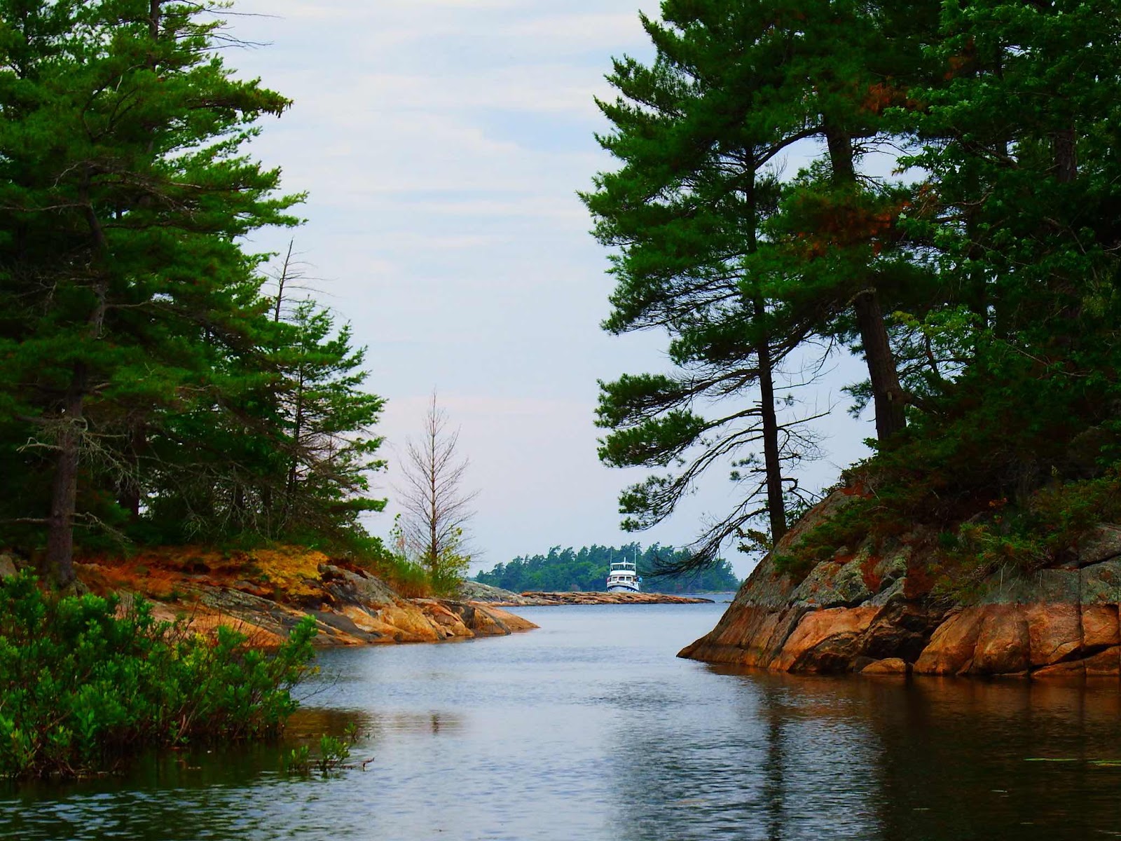
The next day we headed to Covered Portage by way of Beaverstone and Collins Inlet.


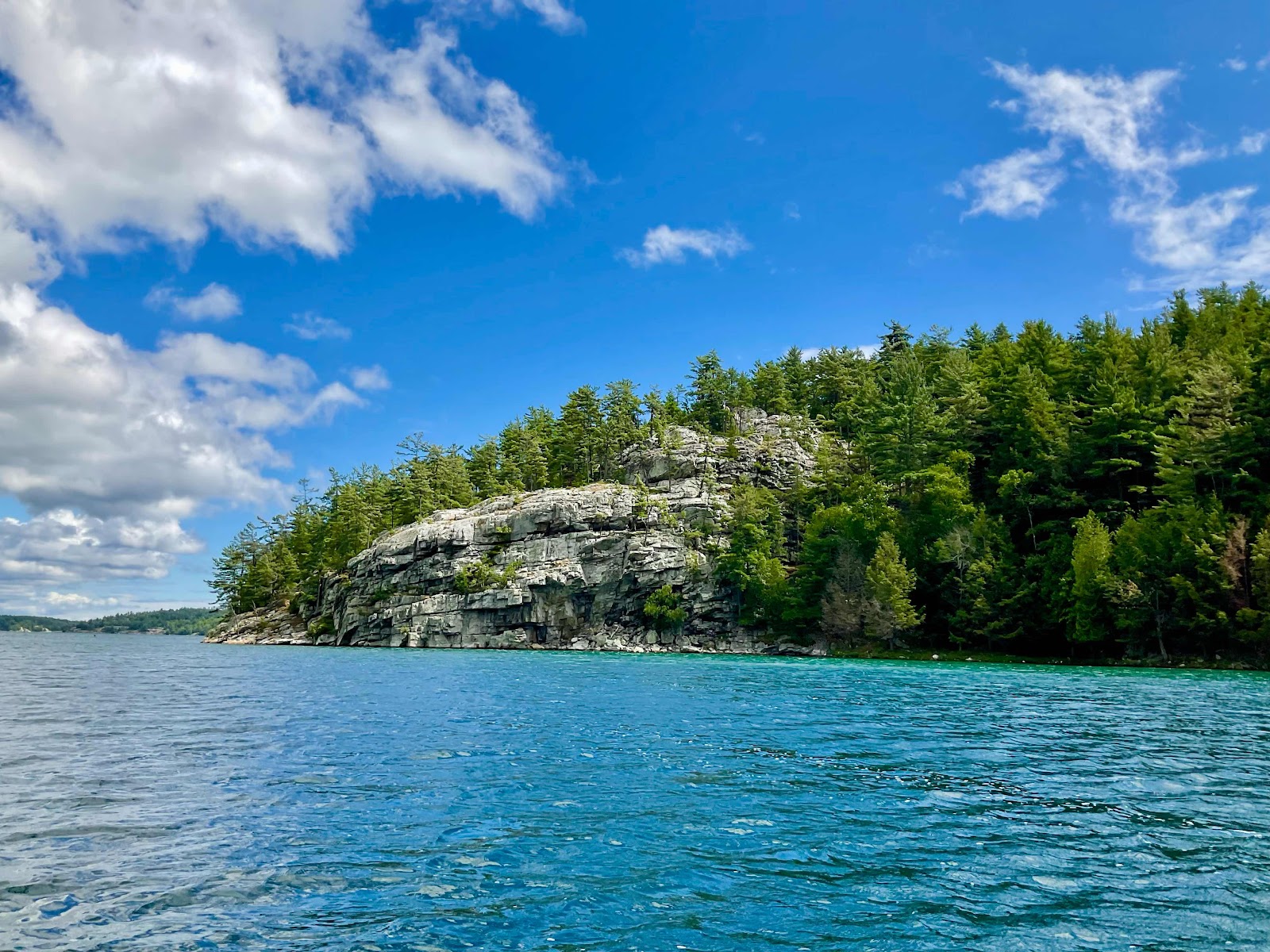
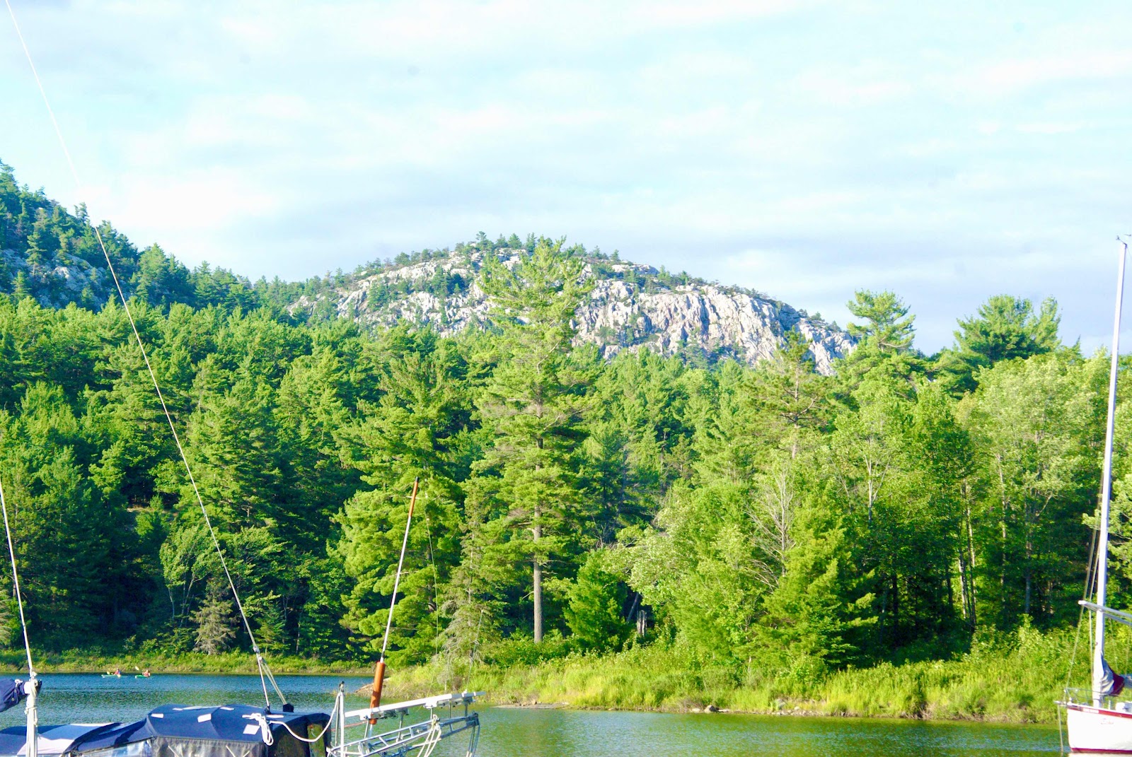
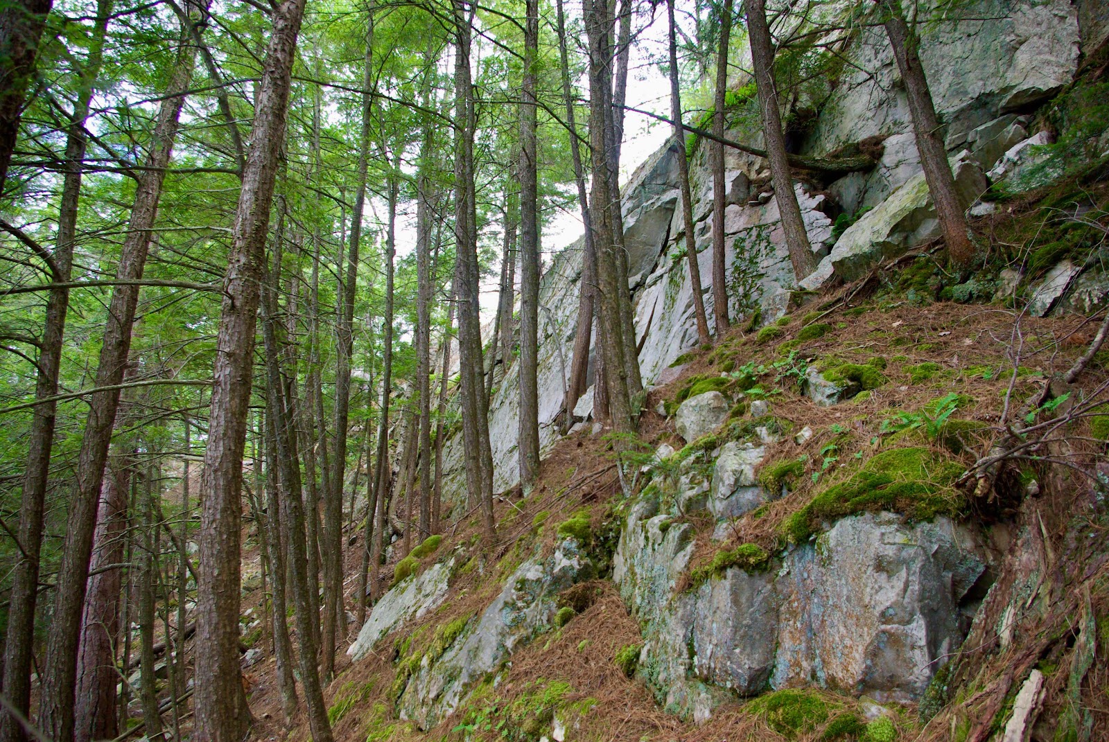
As we worked our way to the west, the topography changed quite drastically!  We quickly went from smooth pink granite to sheer and jagged outcroppings.

And this is where our good camera took a very hard spill on the pilot house floor…never to be heard from again!!  Luckily, Keith dug out our old camera, and we were back in business!


Covered Portage 46° 00’ 06”N, 81° 31’ 44”W
Exploration by dinghy and climbing.


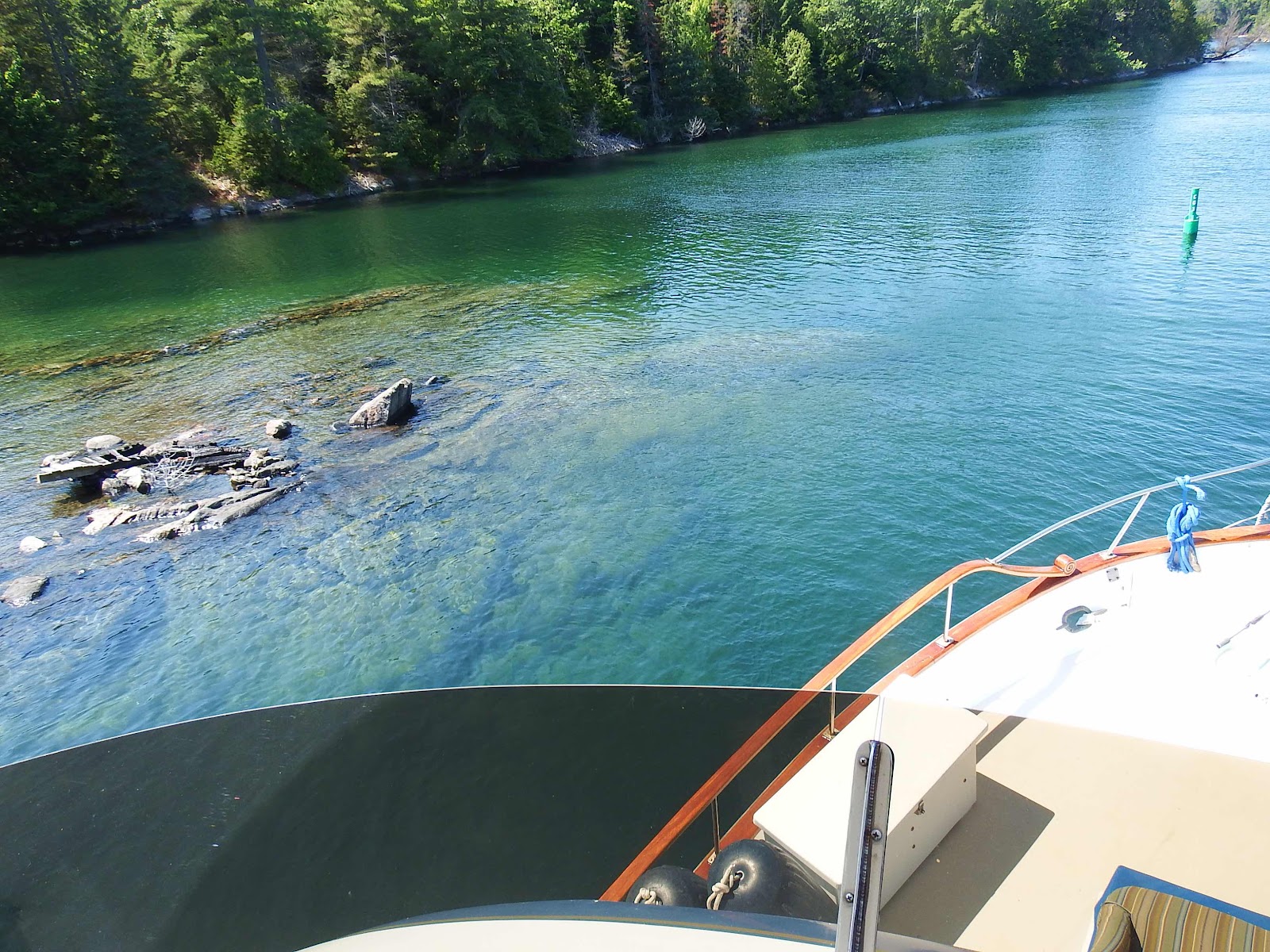
The anchorage inside the cove was surrounded by these massive walls of rock.  However, the anchorage was pretty busy, and we chose to anchor outside, in a location that offered better protection from the forecasted strong northwest winds.


This rock will protect us nicely…and of course, we had to climb it.

This is the view from the top, while we were (once again) picking blueberries…yum!! With this batch we enjoyed blueberry pancakes, and blueberries in our yogurt.  We have decided that if we find any more we will make ice cream 🤞!

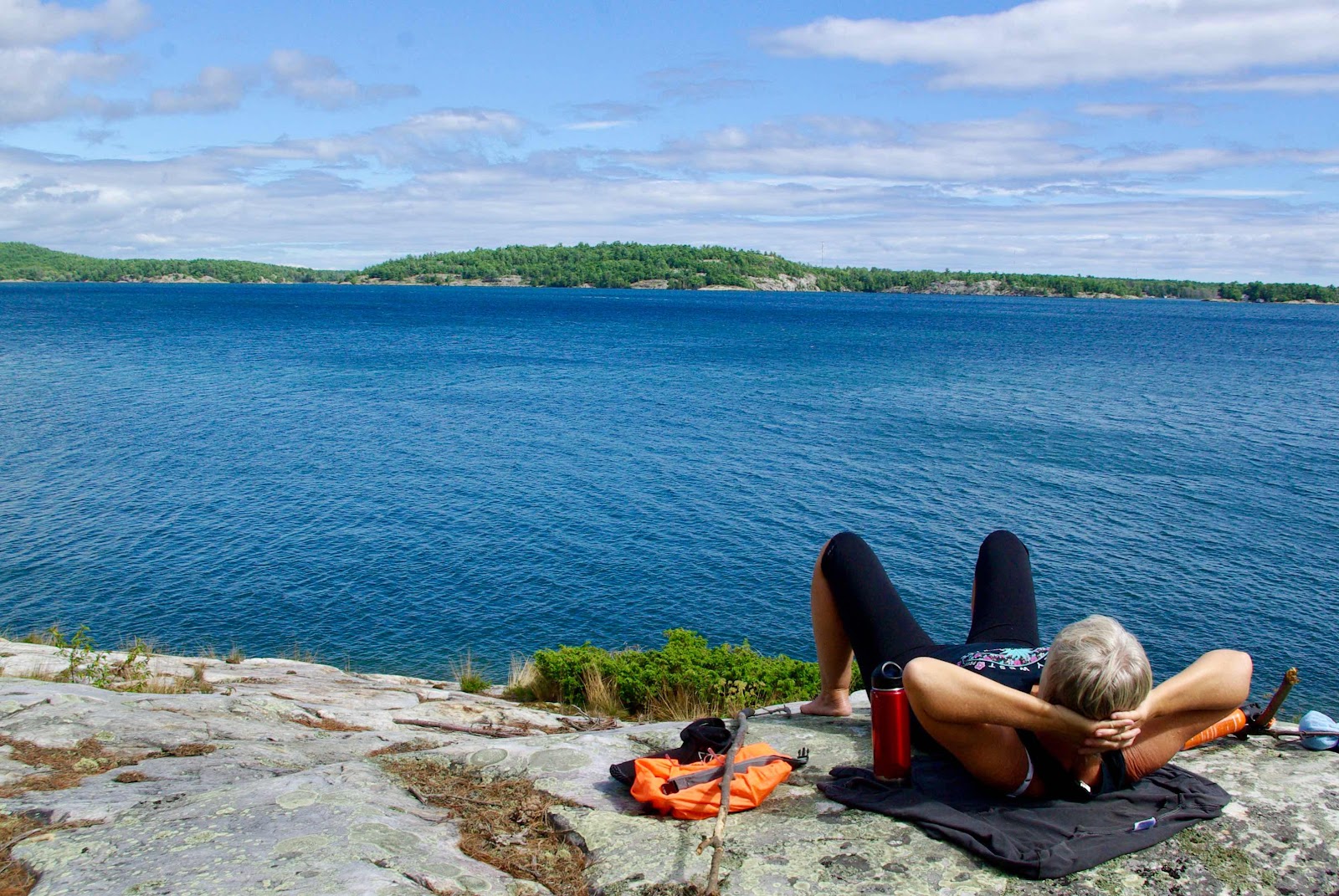
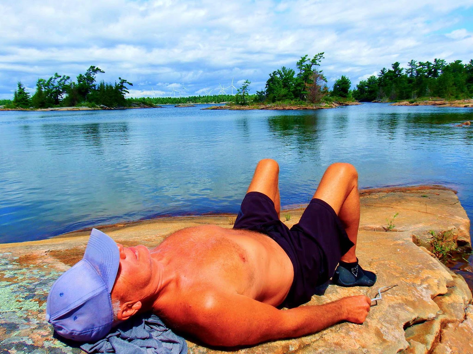
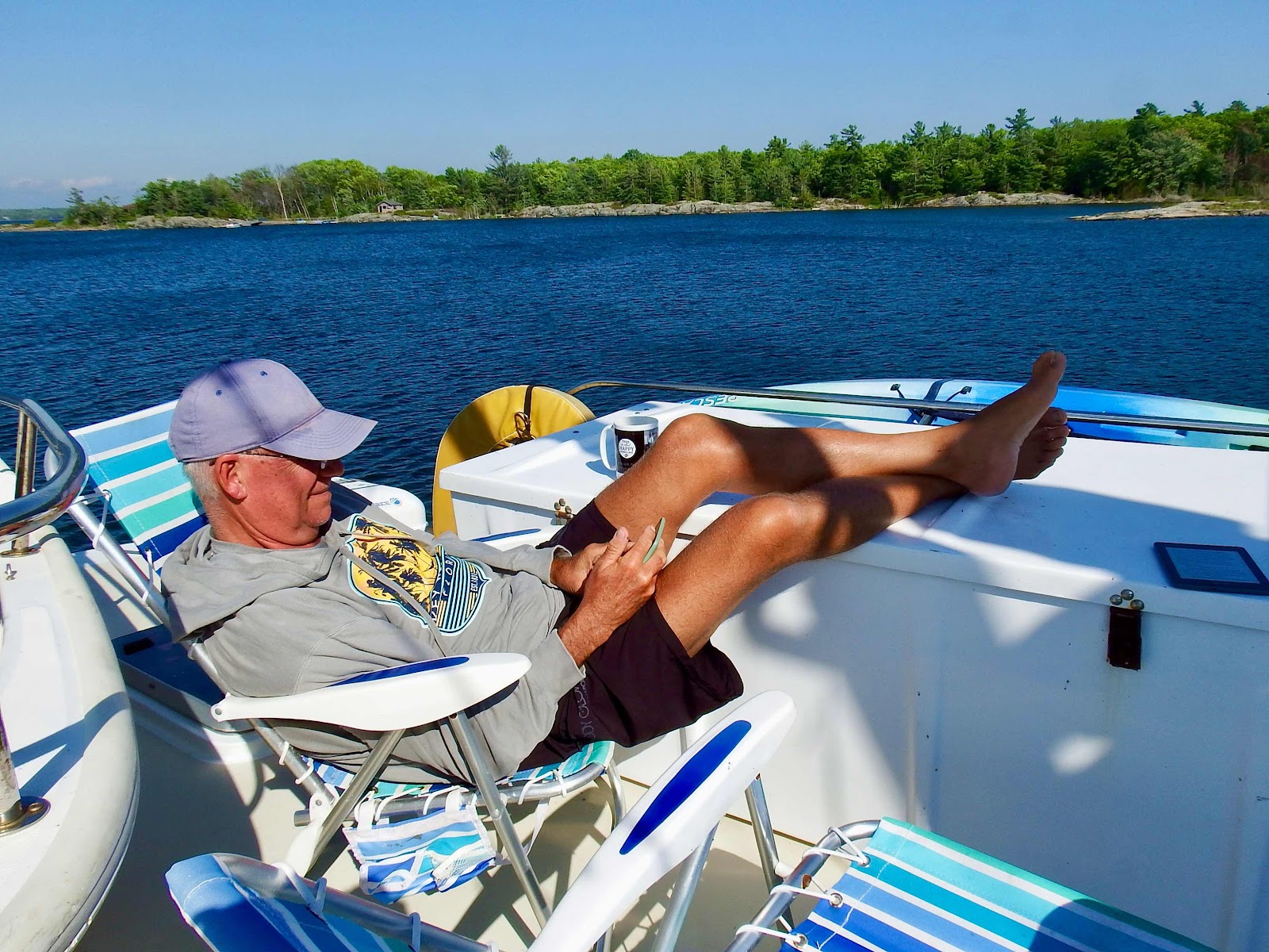
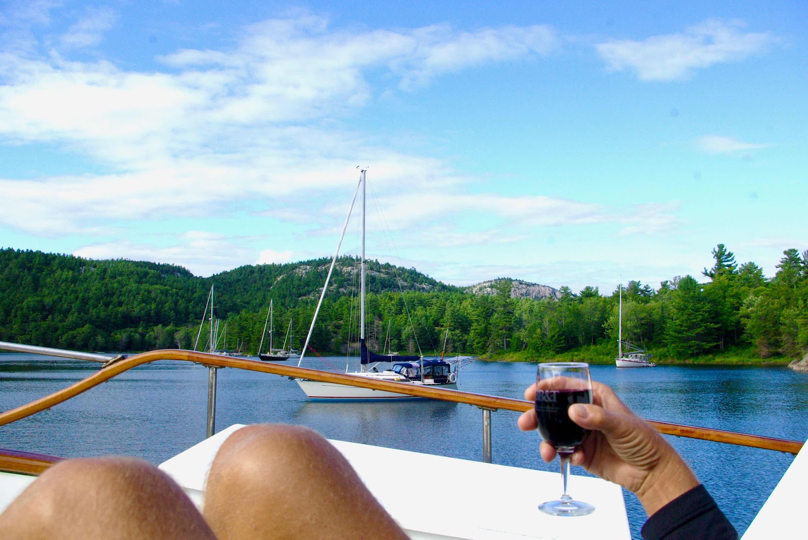
Rest time is good too!


Baie Fine 46° 02’ 40”N, 81° 28’ 42”W
Pronounced Bay Fin
Exploration by hiking, climbing, and hiking some more!


Apparently, the hike to Lake Topaz is in that direction…it looks like a lot of uphill from here!

Most of the trail is a dry creek bed with a gradual uphill slope.

Behold…the three legged mountain goat. As we get closer to the prize, the going gets a little tougher.  


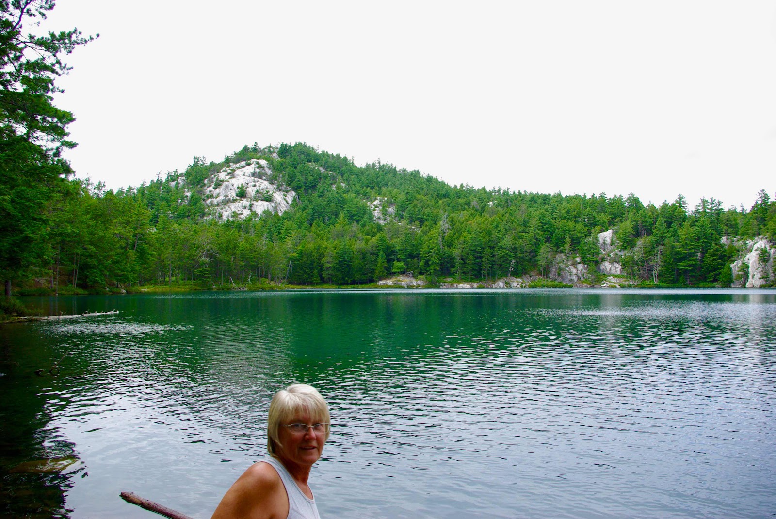
We made it, and we are going for a swim.

Now, to get out of here. The blueberries are on the top of that rock.

We came…we conquered, and we celebrated!

The next morning we decided to get an early start for our 20 mile trip to Little Current.


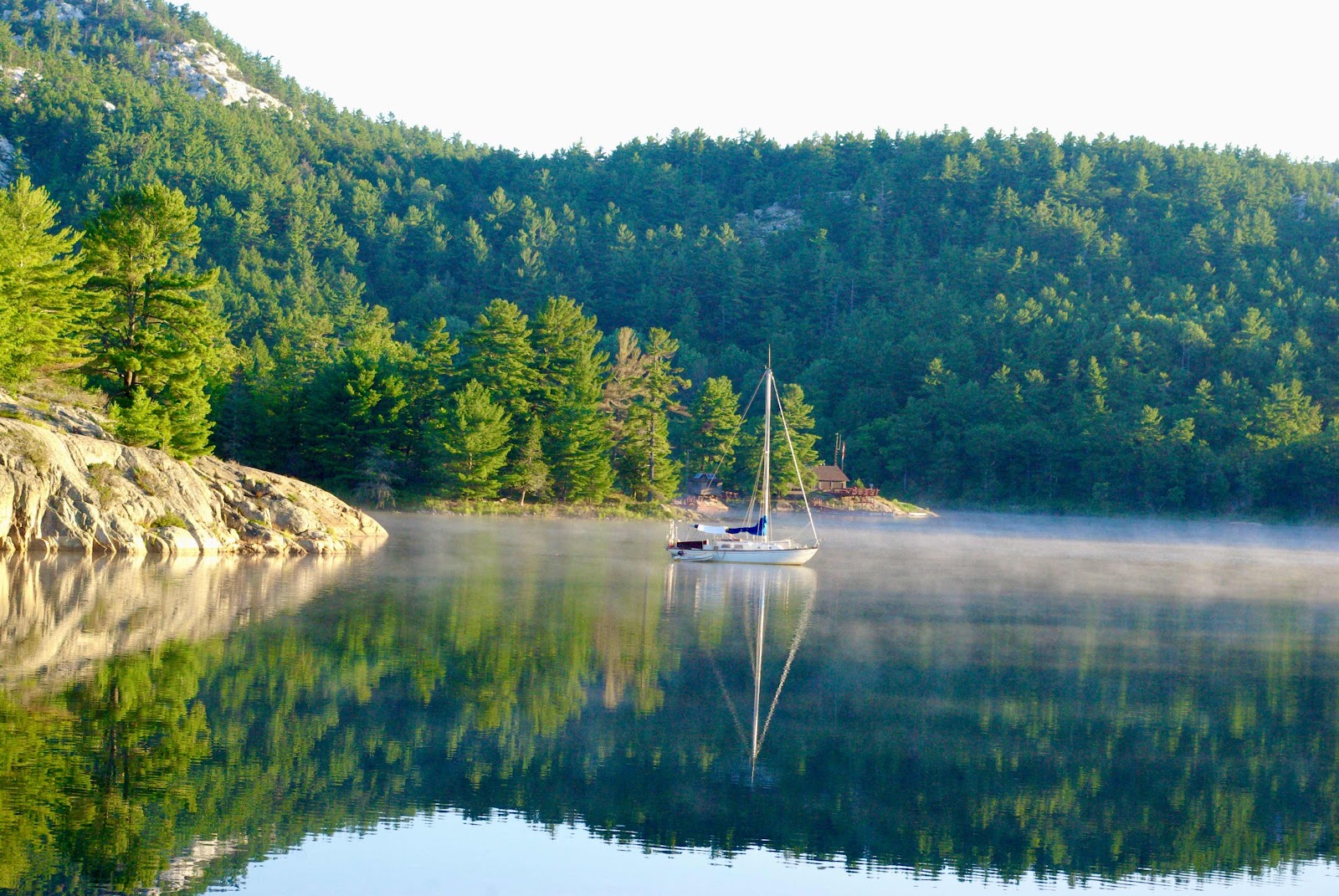
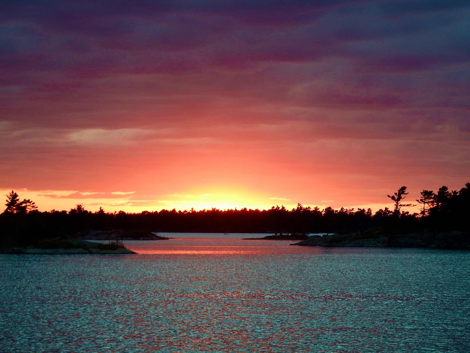
All was calm at 6:45 a.m.

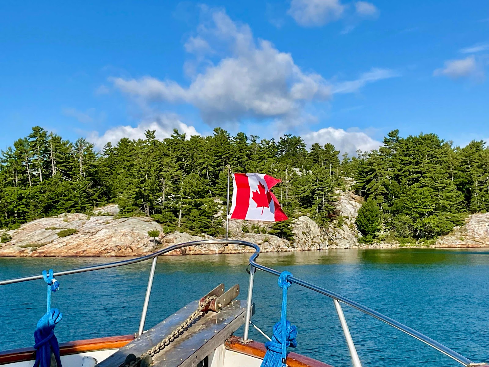
This is officially our last anchorage in Georgian Bay.  Once we pass through Little Current we will be in a body of water known as North Channel.

What a phenomenal experience!  
I do a lot of reading (especially when we are in places with little/no internet connection), and recently read a passage that sums up my feelings nicely.

“…humans innately can be healed by beauty, especially the splendors of the natural world.” The Oceanography of the Moon, pg 225.

Therefore, my advice to you…if your soul ever needs to be healed, plan a trip to Georgian Bay!


Thursday, August 18, 2022

GGB pt 2 Black Bay to Bustard Islands

Before we ever entered Georgian Bay, my ‘minds eye’ set high expectations for the beauty we would encounter.  My research of the area had me dreaming big, regarding the topography and environment.  While we had been impressed, up to this point, it wasn’t until we entered Black Bay that my mental imagery matched our reality!  This post will include two (out of three) of my absolute favorite anchorages in Georgian Bay, where the breathtaking scenery is unmatched!


Black Bay 45° 47’ 36”N, 80° 40’ 02”W
Exploration by dinghy, drone, & foot (including a lot of climbing)
⭐️ ⭐️ ⭐️ ⭐️ ⭐️ 

I absolutely loved the backdrop of windmills in this location, and the drone made it clear, there were a lot of  places to explore…so launch the Whaler!


The days were quite cool (for us) ranging from 74-78°.  These cool temps (and chilly water) kept us out of the water on most days, but a few times the hike warmed us enough to justify a dip.  A swim was especially justifiable if we had warm rocks to relax upon after exiting the water!  This location was perfect for a dip.


Absolutely amazing!

Our next anchoring location put us in the middle of the windmill farm.  I still felt awe inspired being surrounded by these giants, and I didn’t feel as though they detracted from the natural beauty, at all.
Henvy Inlet 45° 50’ 52”N, 80° 39’ 33”W

Our original plan was to launch the Whaler and do some trolling in Henvy Inlet.  Our friend Shelly, from Oh Henry, told us this was the place to catch record breaking Pike.  However, the day we arrived it was cold and windy, and we both felt a little exhausted from our recent ‘activities’ calendar.  We decided to stay on the boat, but dropped a few lines in the water from the cockpit (which offered good protection from the wind). I landed a nice smallmouth bass, which supplemented our beef/bean taco dinner, with a couple of fish tacos.

Considering the fact that this was the first fish we caught in Ontario, and a fishing license costs $85…this taco cost $43.00 ($42.50 for the fish and .50 for everything else😉) to make…but it was delicious!!

Due to predictions of strong wind, we left Henvy inlet the next day to find an anchorage with better protection.  Therefore, we didn’t really explore Henvy.


Bustard Islands 45° 53’ 45”N, 80° 54’ 20”W
Exploration by dinghy
⭐️ ⭐️ ⭐️ ⭐️ ⭐️ 

The tops of these trees would lead you to believe the wind was screaming at this moment, but that is not the case.  Many of the trees in this area grow like that…probably because they are usually buffeted by wind from that direction!

Mink!  Our first mink sighting was two minks chasing each other along a big rock.  We sat and watched as they darted into cracks and crevices then reappeared along the water’s edge.  We assumed they were playing, or flirting, with each other…UNTIL the one in the back caught the one in the front.  Yikes…the scream that came from the fury of fur was neither fun nor romantic!  Once they separated, this guy ran for the water as fast as he could move, jumped in from a rock ledge high above the water, and swam quickly to the other side of the cove.  We now assume he was caught trespassing!

Our exploration took us into some very narrow channels.

And on occasion, a little help over the rocks was necessary.

But getting up close and personal is the way we like to explore.

This is the spot we stopped for lunch…spectacular! I would rank this in the top 5 most beautiful lunch spots in my life.

As Keith finished lunch, and stepped into the water to push the boat off the rocks…he found these eggs??  They look to be either from a turtle or a snake, as they were leathery, not hard.  However, they were totally submerged in water, so neither a turtle nor snake would survive.  We placed them back in the water and went on our way… just in case they were viable (we agreed the blackened egg was definitely dead).  Upon returning to the boat I tried to research organisms that might have laid eggs in the water, but everything pointed back to a land nest, from a turtle or snake, getting washed into the water.  If I had known for certain they were dead, I would have loved to cut one open to see what was inside…I know I am weird!

If you can identify these eggs, please share your knowledge!


Wednesday, August 17, 2022

Gorgeous Georgian Bay


As soon as we entered Georgian Bay, we were entranced by the scenery!  The rocks were low, smooth, and pink, while they transition beautifully into a bright green landscape of forest.  This exciting feeling of NEW, is the thing that seems to energize our souls.  Whenever we enter an area that provides new features, we are like children at Disney…oohhh…look at that, wow…how beautiful, this place is AMAZING!  We are excited, and alive, and ready to explore.


I will admit to being a bit overwhelmed when it came to planning our route (and stops) through Georgian Bay.  This chart screen shot will give you an idea of the immense number of possibilities, just within this 5 mile area.  I decided, for the first time in my life, to reach out to Facebook cruising groups to get guidance from other cruisers, as well as, two sets of cruising friends from Ontario.  Since our style of cruising is very different from that of most cruisers (we like to anchor and experience nature…as opposed to traveling from marina to marina) I was careful to preface the question with our desire to hike and kayak.   The response I received was amazing, and after tallying all of the suggestions I was able to create a route that I felt really good about.  A route that would allow us to visit ‘must see’ locations, while giving us plenty of opportunity to ‘get off the beaten path’.

This post shares pictures from our first four anchorages in Georgian Bay.  All pictures were taken within a few miles of the anchoring coordinates listed with the name.

Our first stop…
Indian Harbor  42° 02’ 01”N, 80° 00’ 33”W
Exploration by kayak & drone


From this view, you can easily see the underwater rocks.


And it always feels good to come home!


Wreck Island 45° 08’ 33”N, 80° 05’ 45”W
Exploration by hiking & dinghy


Hiking rocks along a shoreline is my favorite way to explore.

No honey…I don’t think a tadpole tank on the boat is a good idea!


Hale Bay 45° 17’ 03”N, 80° 15’ 42”W
We enjoyed the scenery from the top deck…


Ugh…big underwater rocks are sooo close to the channel.  Several people have told us that we will not get out of Georgian Bay without hitting a rock…scenes like this have us concerned they might be right.


Frederick Inlet 45° 29’ 28”N, 80° 25’ 59”W
Exploration by dinghy and foot.  


Frequently, we like to nose the Whaler against a rock and hop off to explore.  Here we found an internal pond enclosed by rocks.  We were both mesmerized by the life in the pond.  We sat on the rock for a very long time, perfectly contented in watching tadpoles, small fish, and skater bugs going about their daily routine.  When people ask how we could possibly live in such close quarters without killing each other…this type of activity comes to mind.  We are compatible because we are easily entertained by the wonders of nature, and are probably the same kind of crazy/weird 😉

Some of the tadpoles were starting to sprout their little frog legs…this one wasn’t that far along!


I hope you can take the time to enjoy nature’s beauty!


The Continuing Saga

  Well, another month has passed since my last post, and I must report that our trying times have continued to haunt us.  Not sure if we sho...