Thursday, February 20, 2020

Barracuda Escort

Dry Tortugas continued...
As promised in my last post here are the pictures from our two snorkeling excursions to Loggerhead Key.  While going through our pictures I quickly learned that our underwater photography skills have great room for improvement!  We took approximately 250 pictures, and of those, 50 actually captured something.  There were many near misses, with a fin on the edge or a mouth in the corner, but the majority were pictures of nothing😁.  Great excuse to practice!

Loggerhead is approximately three miles away from the main harbor at Garden Key, and can only be visited by personal watercraft.  There were no commercial trips to Loggerhead, which made it amazingly empty.  On our first visit there was one boat on a mooring ball with 3 people walking the beach.  On our second trip, we were the only visitors there. I would imagine it is more crowded during the summer months, but the regulations state that a maximum of 25 people per day are allowed to visit Loggerhead Key.

If you approach from the west side of the island you will find the dinghy mooring area off the shore from the collapsed boat house.  You can not beach any vessels from this side, as there is a rock ledge that runs the entire length of the island.


The water was very clear on our first day of snorkeling.


Immediately upon entering the water we were surrounded by barracudas. There were at least 15 (3-4 foot) barracudas escorting us, at all times, and sometimes we counted as many as 30.  However, on the first day they stayed a respectable distance away.


There were numerous amazing coral formations.


He definitely thought he was hiding behind the sea fan.


A perfect brain coral.

This school of Atlantic Silversides startled me as the rushed past, then again, I am easily startled 😮 


Everyone stay still...she definitely does NOT see us!

One our second day of snorkeling the water wasn’t quite as clear, and the barracudas were MUCH more friendly.  On our first day they stayed at least 20 feet away,  but on the second day they came as close as 3 feet.


This was a beautiful beach to rest on after a phenomenal day of snorkeling.

And guess who was waiting under the boat when we returned from our second snorkel trip...a four foot barracuda.  I guess they just wanted to make sure we made it home alright.

Our visit to the Dry Tortugas has inspired us to search for more baby blue water, and crystal clear snorkeling opportunities.  We have decided to head to the Bahamas for the months of March and April.  Our current plan is to leave Key West early next week and head north to Key Largo where we will stock provisions for our two month trip.  We have learned from our friends Eddie and Gail that food is REALLY expensive in the Bahamas so are planning to stock as much as possible!


Sunday, February 16, 2020

Summer in February


    We finally found summer!!  We currently have the best tans we have ever had in the month of February.  Our trip to Dry Tortugas National Park has been the most amazing experience of our cruising life, thus far.  This environment exemplifies my mental image of cruising.  The waters are pristine, and the wildlife is abundant...and the temperature was (75-85) PERFECT!  I can’t say the weather was perfect, because again we were hammered with strong winds.  This time the winds were relentless for 4 consecutive days.  We did not leave the boat during that time. We worked on boat projects, restocked the freezer with baked goods, watched out for numerous boats with dragging anchors (thank goodness it wasn’t us this time), and did a lot of reading.  
    The harbor is protected from northerly and easterly winds by the fort and island, but the protection from the south and west comes from reefs and sandbars.  Therefore, strong winds (25-30 mph) over an extended period of time (4 days) created 5-6 foot waves outside the harbor.   Depending on the wind direction (which changed from north to southeast to west during those four days) the waves either wrapped around the island and the energy entered the harbor as swells, or they crashed over the reefs and sandbars, and expended their energy into a confused choppy mess. So essentially, we spent Thursday-Sunday in a washing machine...ugh!  However, those lost days are the reason we extended our trip from 7 to 12 days, and it was well worth it!

In 1513 Juan Ponce de Leon was the first European to visit these islands.  He named them for their lack of fresh water, and abundance of turtles.  He reprovisioned his ship by slaughtering 178 sea turtles, in addition to numerous fish and birds.  I understand how quickly perspective changes.  At that time he thought he hit the ‘lottery’...in today’s world, all I can say is YIKES!  Located 70 miles west of Key West, this area is now a 100 square mile National Park, which is mostly open water with seven small island.  In addition to the abundant sea life, tropical birds, colorful reefs, shipwrecks, and world renowned snorkeling and diving, Fort Jefferson is the park’s centerpiece.
The picture above outlines the park property.  The yellow circle shows where you are allowed to anchor and/or fish (only within 1 mile of the lighthouse at the fort).  To the left of the fort are dive flags located around Loggerhead Key. Mooring balls allow people to visit Loggerhead Key for up to 2 hours a day.  This is where we went snorkeling on two different days...INCREDIBLE!!  All of the RNA areas are off limits.

You can visit the park as a day trip on this ferry.  Camping is also allowed on Garden Key and campers use the ferry to come and go.  The ferry usually arrives at 10:30 and departs at 3:00 every day.  That’s why we visited the fort after 3:00, and had the whole place to ourselves.  On the super windy days there were only about 20 (green) ferry passengers😉

Another option is to visit by seaplane. Since the planes can ‘create’ their own runway (and need to take off into the wind) there were days when they seemed a little close!! This plane is as close as it looks.  This picture was taken from the cockpit (back deck of the boat) with the upper deck in the top of the frame.

But the best way to visit is on your own vessel.  We are the tiny boat on the right👍

The fort looks huge upon approaching the harbor, because it is huge!  Fort Jefferson is the largest brick masonry structure in the Western Hemisphere composed of more than 16 million bricks (according to Wikipedia).


It looks even bigger on the inside. This view shows the interior parade grounds.

Fort Jefferson has (or had) a very cool moat. It probably was not considered cool in 1860.  The moat served the purpose of keeping military prisoners in as much as keeping invaders out.

The architecture is incredible.  The track design on the floor was used to position the canons at each window.

This was for communication, wide enough for a runner...no radios.

Dr. Samuel Mudd and three others were imprisoned here after being charged with conspiracy in the assassination of President Abraham Lincoln.  Dr. Mudd was pardoned after helping to save many lives at Fort Jefferson during an outbreak of yellow fever.

An amazing view from my paddle board!

This picture was taken from the top of the fort and shows most of Bush Key and Long Key.  Both Keys act as bird nesting grounds during certain times of the year. When we arrived the Magnificent Frigatebirds were soaring over the trees in the distance, which is there nesting/rookery area.  People were allowed to walk the entire shoreline up to the first green patch to the left of the distant trees.  We were so lucky to arrive when we did, because within two days thousands of Sooty Terns took over all of the rest of the green (past that little sign), and the area was closed to all visitors.

Our walk on this beach was fabulous, and the water color here is fuel for my soul!

We saw our first (of many) giant hermit crabs on this beach.

The walk back on the east side offered a great view of the fort.

Wednesday morning, Feb 5. The Terns have arrived, and this area is now closed for several months.

On the day we arrived, I told Keith we were staying until we saw a sea turtle even if it took a month (that was before I read the regulations that state a 14 consecutive day maximum).  Luckily, on our first morning there, while drinking coffee on the upper deck, this little gal appeared right behind the boat. She was the only turtle we saw the entire time.

One evening, I was paddle boarding and Keith was off fishing in the Whaler.  I was bobbing around the harbor trying to capture a good picture of jellyfish.  Keith returned to the boat for some bait and immediately came to my location and said, “If you want a good picture, you should try to get a picture of the huge grouper that’s under the boat.”  I didn’t think the fish would still be there when I got back to the boat, but he was...


And he was not camera shy.  I laid on my belly on the paddle board and stuck my arms in the water with the camera.  He swam within a few feet of me for 45 minutes.  We named him Fred, he is a 4.5 foot Goliath Grouper who loved to hang out under our boat.  We saw him on most days of our visit.

We spent two glorious days snorkeling at Loggerhead Key.  At this point, I have several hundred underwater pictures to weed through and whittle down to the best 12-15.  I plan to do a separate snorkeling post in a few days.  Spoiler alert...there were a LOT of barracudas in the water, and they were very interested in us!

Our trip back to Key West started out grey and rainy, but this guy made our day when he landed on the anchor shank.  Pelicans have been very elusive in the past, but this makes up for all of my previous frustrations!  We were about 20 miles away from the islands when this single pelican soared past the port side of the pilot house and landed in the water in front of us. He flew past a few more times landing in the water each time.  After about 20 minutes of this reconnaissance behavior he flew right over the bow and landed...unbelievable!  He took a 20 minute rest there before he went on his way.


Sunday, February 2, 2020

One Human Family

We have been anchored in Key West for a week.  We purchased a one week dinghy dock pass for $30.00 and one week bus passes for $12.00 total (the cost was $8.00, but one of us got the senior discount😉).  We have had a great time exploring this town.  I would describe the locals we have met as ‘characters’.  On our first bus trip we met an older lady named Beverly. She had tattoos on her face, a nose ring (like a bull), and a true love for Key West!  She was excited to tell us about her family and her history, but was equally excited to tell us about the wonderful people of Key West.  She insisted that if I left my backpack on the side of the street I could return hours later to find it untouched.  She was confident that EVERYONE in Key West embraced the ‘One Human Family’ philosophy.  She was adorable, and I loved her optimism!!
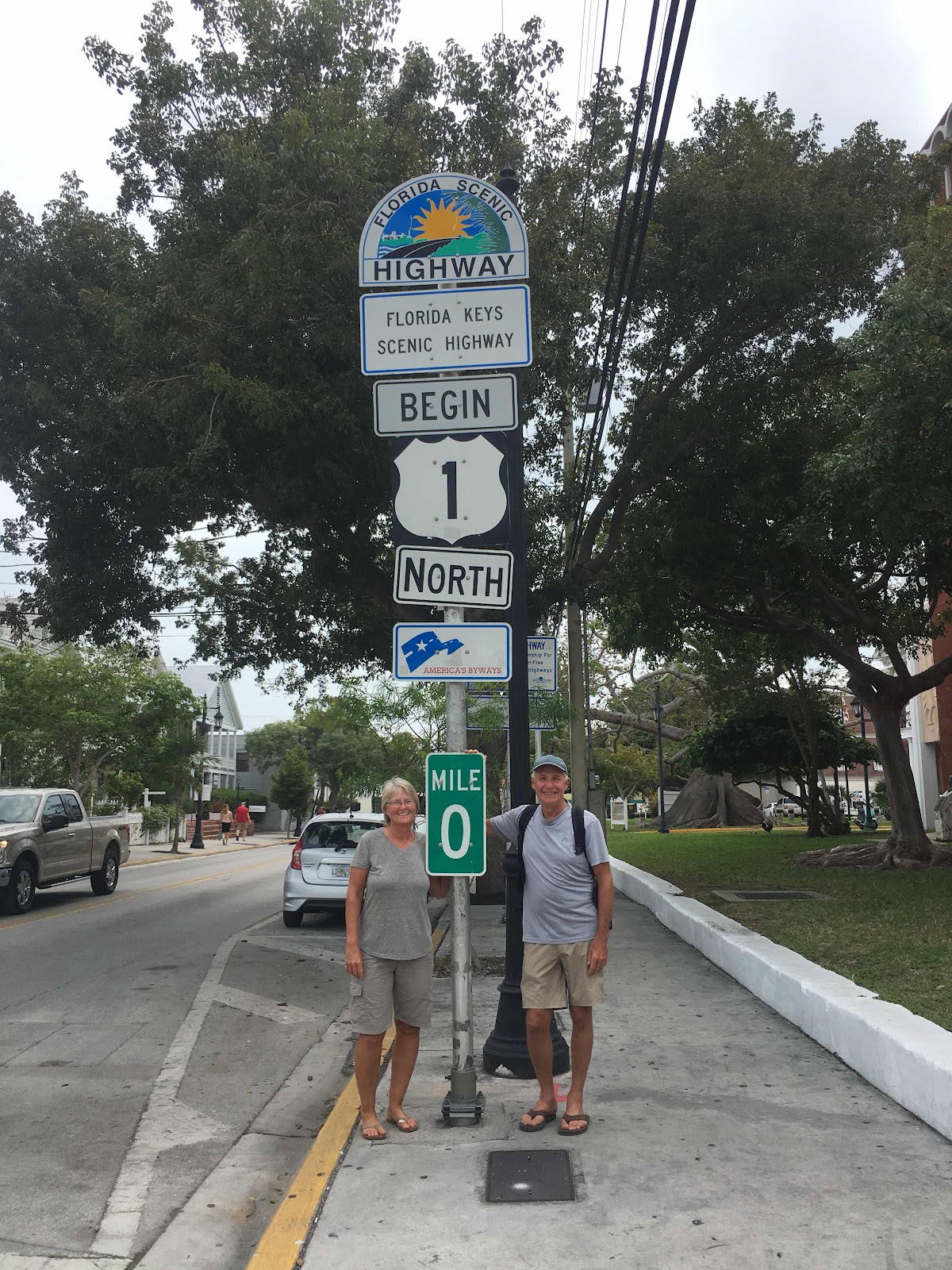
We made it to mile marker ‘0’...check out the cool tree behind Keith’s left shoulder!

We did see several examples to support Beverly’s claims.  Well look at that, the sticker says it is the ‘official’ philosophy of Key West. Nice!

We have discovered a new understanding of ‘free range’ chickens.  Chickens and roosters are everywhere, and they are free to do as they please!

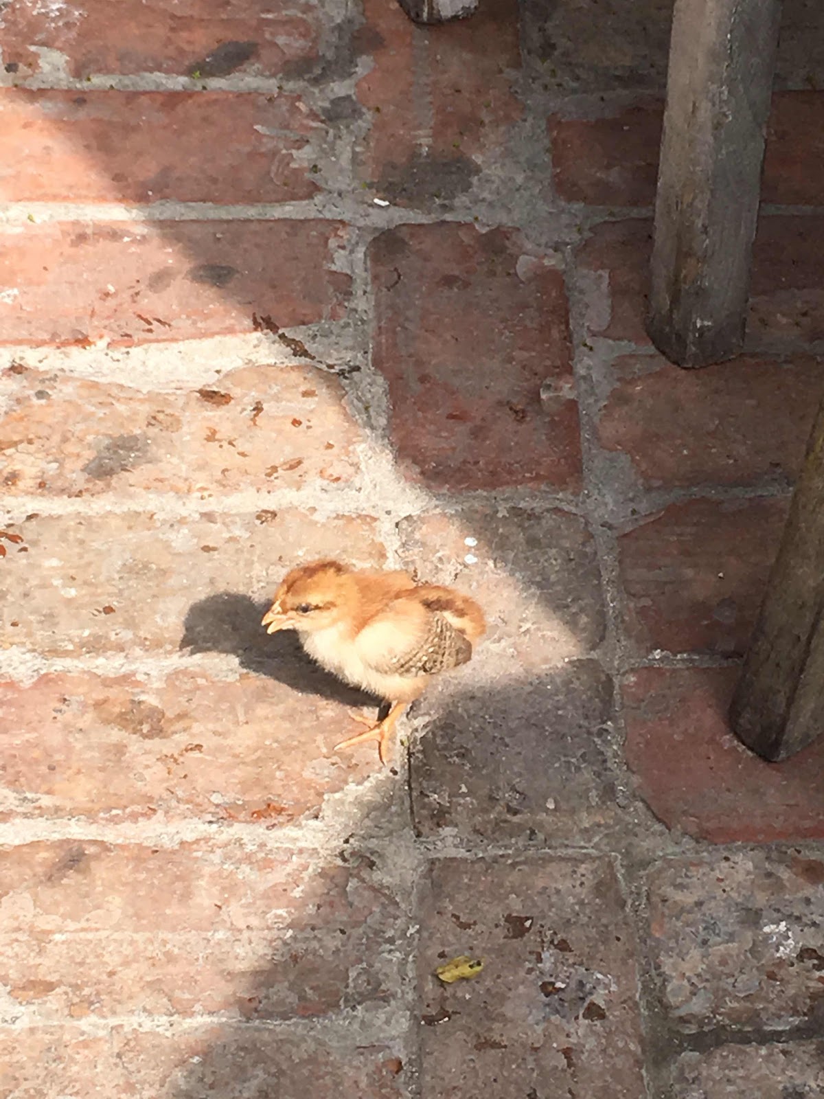
And the population is growing.

Outdoor restaurants provide water filled bottles in case the chickens become a nuisance.  However, we never witnessed any aggressive behavior from the chickens.

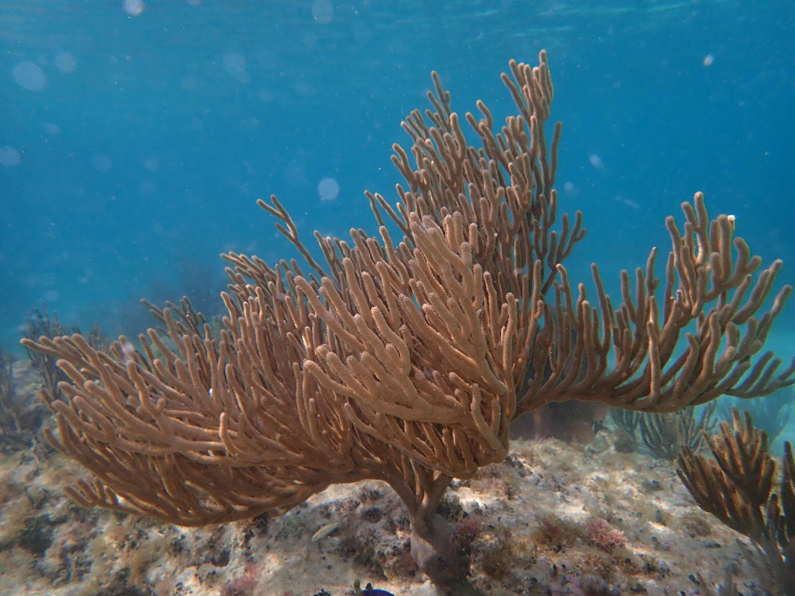
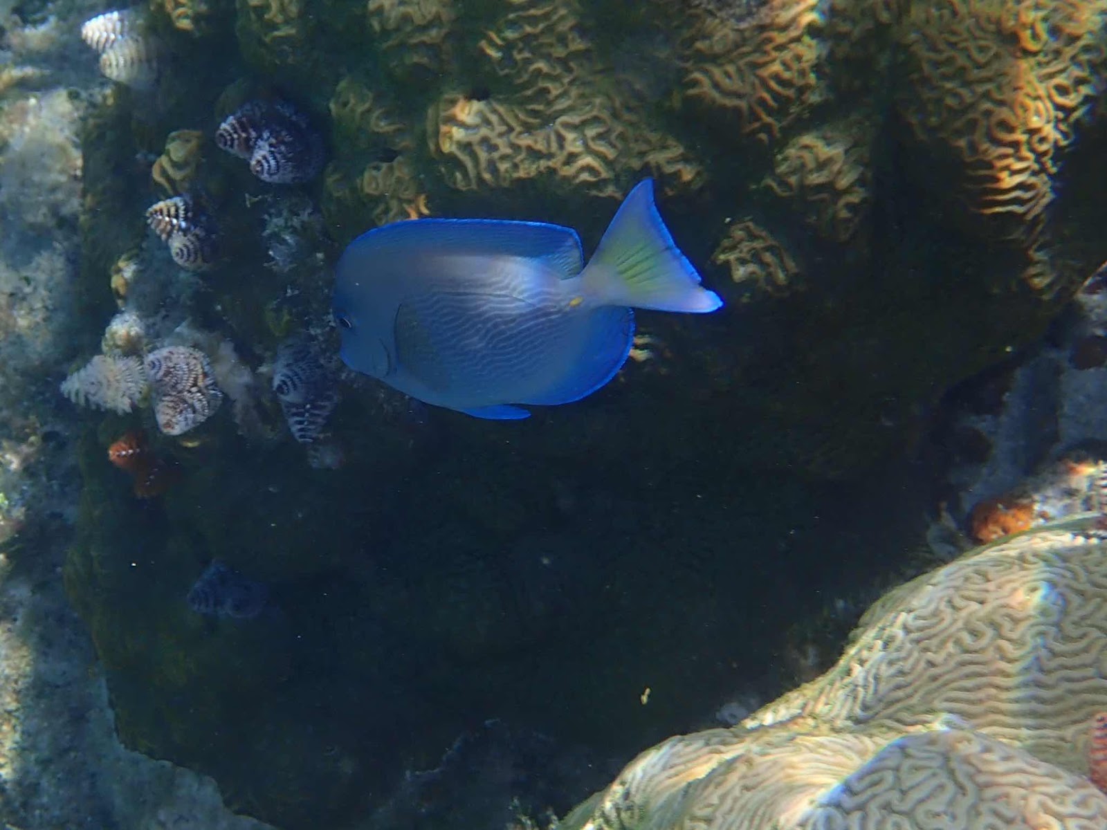
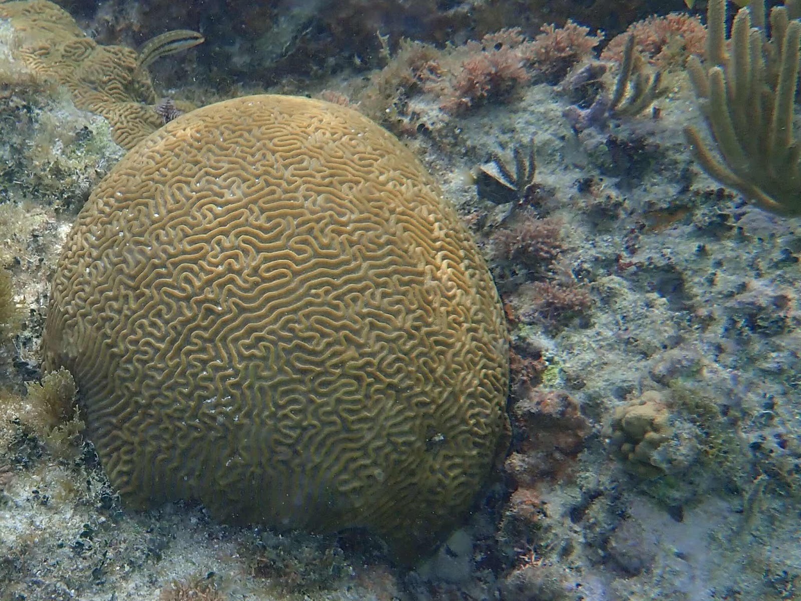
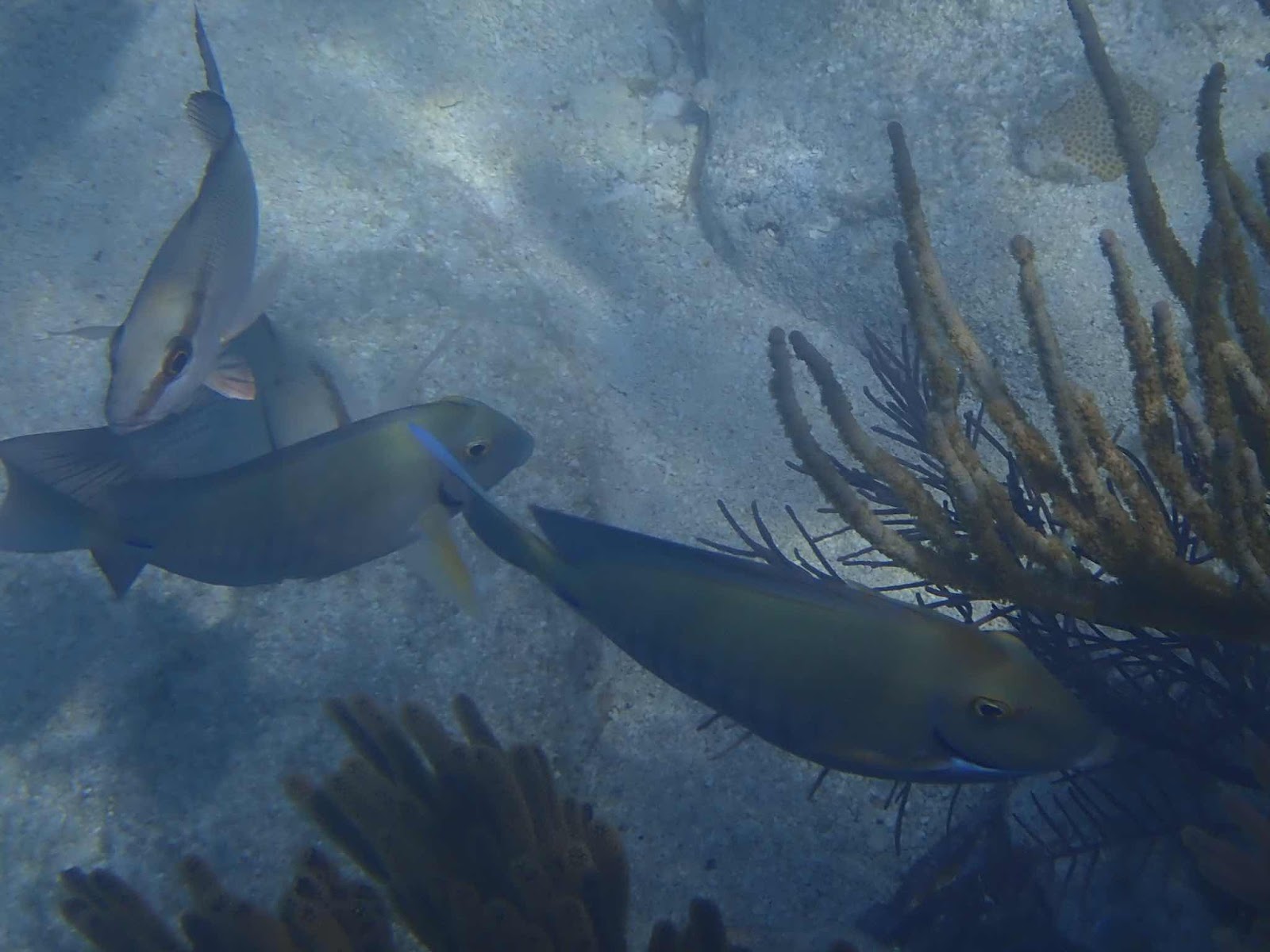
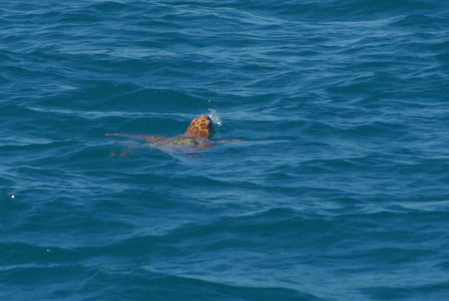
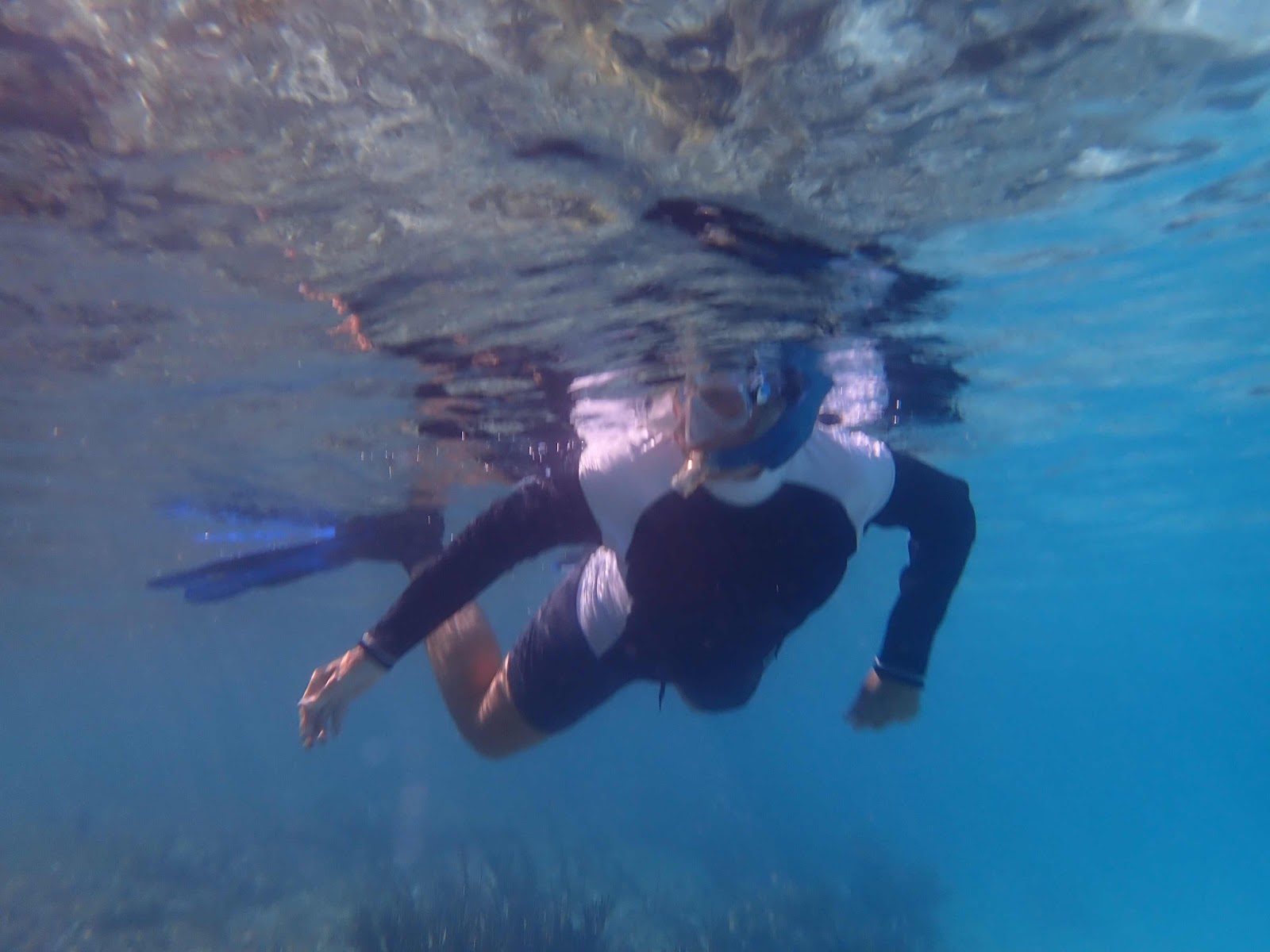
It was very windy during our first few days in Key West so we visited town and completed some boat projects, but didn’t have an opportunity to swim, snorkel, or explore in the Whaler.  Finally on Wednesday, the winds died down and the forecast called for a beautiful sunny day.  We packed a lunch and jumped in the Whaler to explore some of the local mangrove islands.  I’m not sure what this is/was, but they were plentiful and large.  Most measured 12-18 inches across the top.

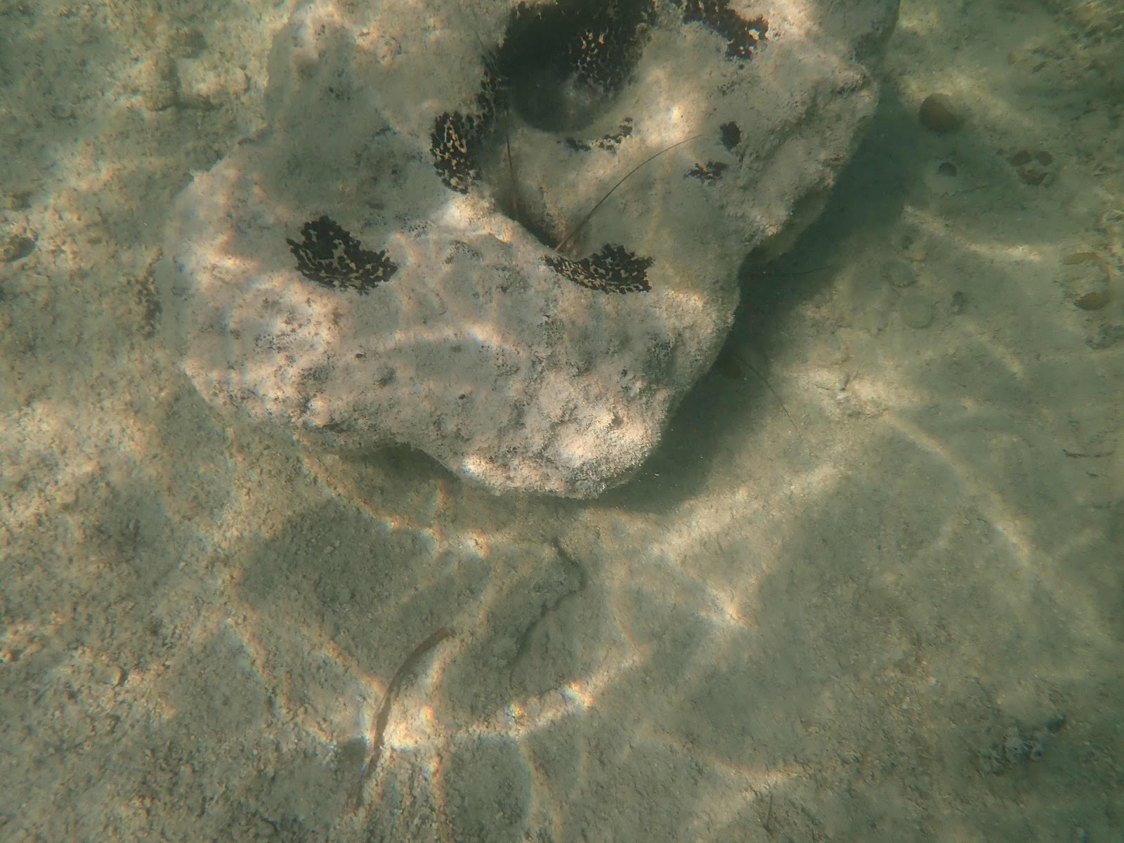
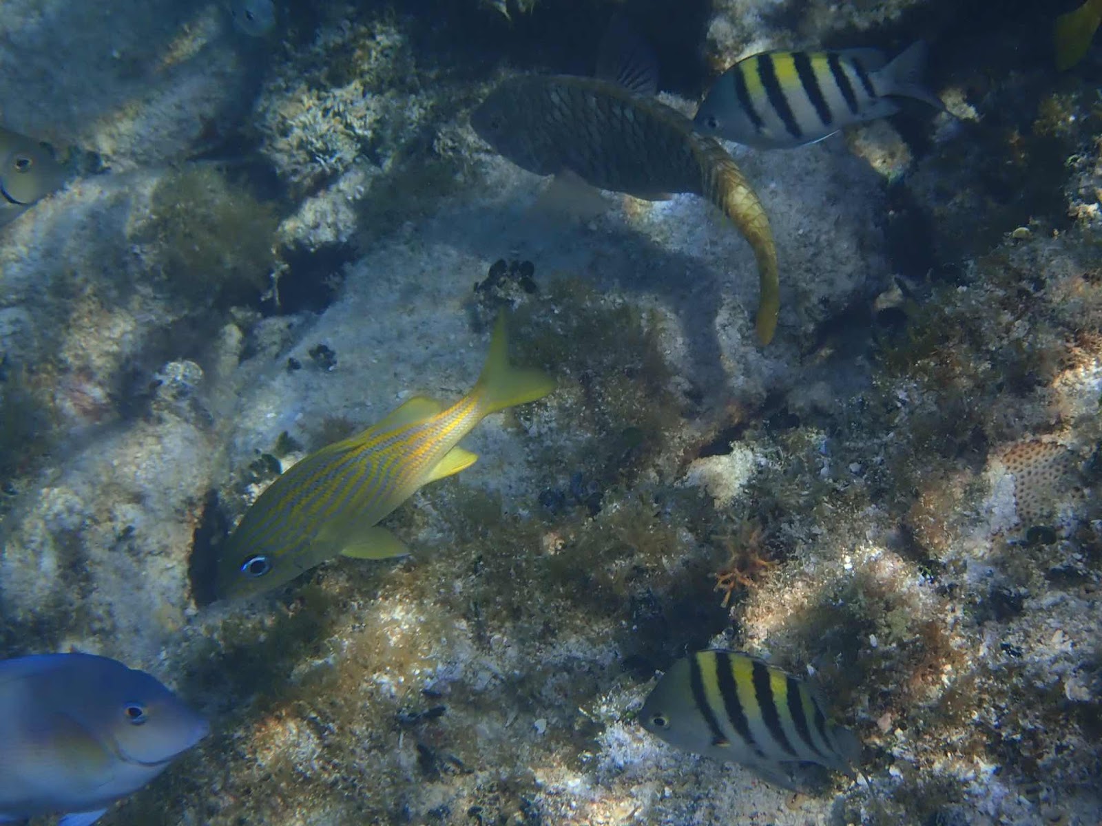
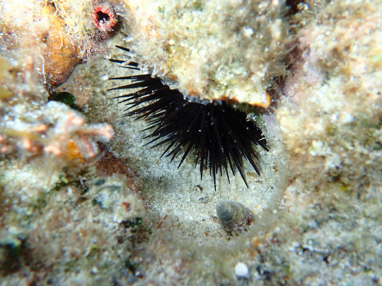
There were also numerous chunks of something (rock, coral, cement).  Can you see what is hiding in (and under) this one? Answer...two lobsters!

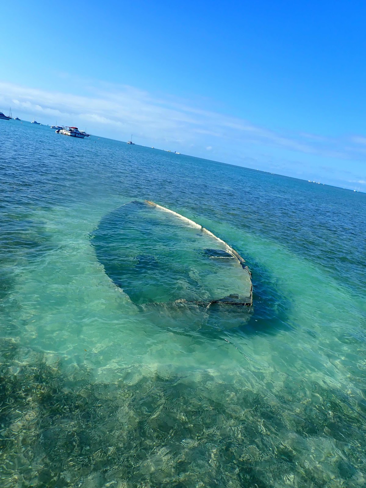
There are many sunken boats in the anchorage area. Some in very shallow water.

So...as I’ve explained previously, cruising has been described as 99% glorious and 1% terrifying.  We got a little of the 1% on Friday night.  We have been through many storms with usually no story to tell, but this time things happened differently than we expected.  That is probably part of the problem, we were a little complacent and let our guard down.  We had been anchored in this particular spot for 5 days, and had experienced strong northerly winds (25-30 mph) for several of those days.  We were confident our anchor was set, and would hold us through anything. We were in 10 feet of water with 100 feet of anchor chain out.  Usually, a 10:1 scope is more than enough.  When a man stopped by in his dinghy to ask me how our anchor was holding I was perplexed, because we had experienced perfect holding.  He told me that he has always had problems in this area.  I did not interpret that conversation as a warning, but I should have.

     We watched the storm approach, both in the sky and on the app.  The storm front reached us at 10:15 pm.  I love to watch storms, so I went out back to the cockpit.  The front hit with a 50 mph wind out of the southwest.  Immediately our anchor alarm sounded.  The alarm has sounded in the past, but in the previous 7 months of anchoring, almost every night, we have never had the anchor drag!  Usually, the alarm sounds because we have ‘misidentified’ the exact location of the anchor.  If we expand the alarm circle by 20 feet it goes off and never comes on again.  Not this time!  The alarm went off a second time, and from my perspective in the cockpit, we were definitely getting closer to the mooring field...yikes.  I yelled to Keith, “start the engines, we are dragging” he jumped from his recliner and started the engines.  I moved to the helm while he grabbed a jacket to head to the bow.  
     It was pitch dark with no visibility in driving rain and 50 mph wind.  My job was to make sure the boat didn’t touch anything. Keith’s job was to attempt to get the anchor up. Just as I made some headway away from the mooring field I saw a big sailboat coming toward us. It was also dragging anchor, but there were no signs of life on the deck.  We knew people were on the boat, but they were not aware of the situation.  I quickly gave 7 blasts on the ship’s horn (the signal for emergency) and people scrambled onto the deck.  I had already steered behind them, but they were heading directly for another sailboat who had been anchored very close to our location.  I wrestled at the helm while Keith wrestled with the anchor.  Finally, we got clear of all boats and retrieved our anchor.  Keith had to clear a huge chunk of grass embedded mud from the anchor before we could attempt to reset.  
     Out of immediate danger, we took a few minutes to regroup.  Keith was soaked through and cold. He needed a few minutes in the pilot house while we discussed our plan.  We agreed to move south away from the other anchored boats and attempted to anchor again using 200 feet of chain this time. Within 15 minutes our anchor was dragging.  Again, battling the wind, rain, waves, and anchor chain we fought to retrieve the anchor.  This time we decided to wait for the front to pass before attempting to anchor again.  The wind calmed down, and the anchor looked like it was holding so at 1:00 I went to bed.  Keith stayed up until 2:30 to make absolute certain.  Thankfully, we were in the same location the next morning, but not for long!  The strong winds predicted for Saturday started blowing around 11:00...and guess what happened...anchor alarm!
     Unbelievable!  Our anchor is dragging for the third time in 12 hours (for the third time in 7 months).  Battle stations...I’m at the helm, Keith on the bow.  He is now complaining that we are supposed to switch anchor duty every other time...but he knows he is better suited to wrestle with the anchor in these conditions.

Keith suggests it might be time to change anchors...I agree!  We are preparing to deploy ‘BIG MAMA’.  I head the boat out of the harbor to find deeper water, while Keith assembles our secret weapon!  We moved outside the harbor, well past the mooring field and lowered the anchor.  Winds were blowing steady at 25 with gusts to 35.  Before Keith finished on the bow I walked out to inform him that I was pretty sure our anchor was dragging...WTH...what the heck!  Once again we retrieve the anchor (with 200 ft of chain) and find it is fouled with a huge block of earthen grass.  The grass here is so thick the anchor can’t cut through to get a nice deep purchase.  Keith comes into the pilot house and asks what I want to do now (we are both exhausted and tired of playing this game) I suggest we search for the deepest place around, hoping we can find a spot too deep for grass to grow.  We are no longer looking for protection from the wind, just a place our anchor will hold.

Green is my new favorite color!  This might possibly be the deepest spot in all of the Florida Keys, but it worked perfectly!  This picture was taken 6 hours after anchoring, and it has now been 24 hours with no dragging.  Winds have been 25-30 all day so I think we found the trick. We slept soundly last night with two anchor alarms set.

This past week did provide time to complete several boat projects.  Our life raft is mounted...

And the 12v reverse osmosis water maker has been installed.  This is the most amazing invention EVER!  Now we have true freedom!  Our first test started at noon.  The batteries were charged to 90% and the solar panels were bringing in 60 amps.  We ran the water maker until 3:00, which produced 35 gallons of water while still charging batteries to 95%.  It is a wonderful feeling to have the ability to make water essentially using solar power that would be ‘wasted’ since we don’t have the capacity to store that much power.  Now we are ready to head offshore.


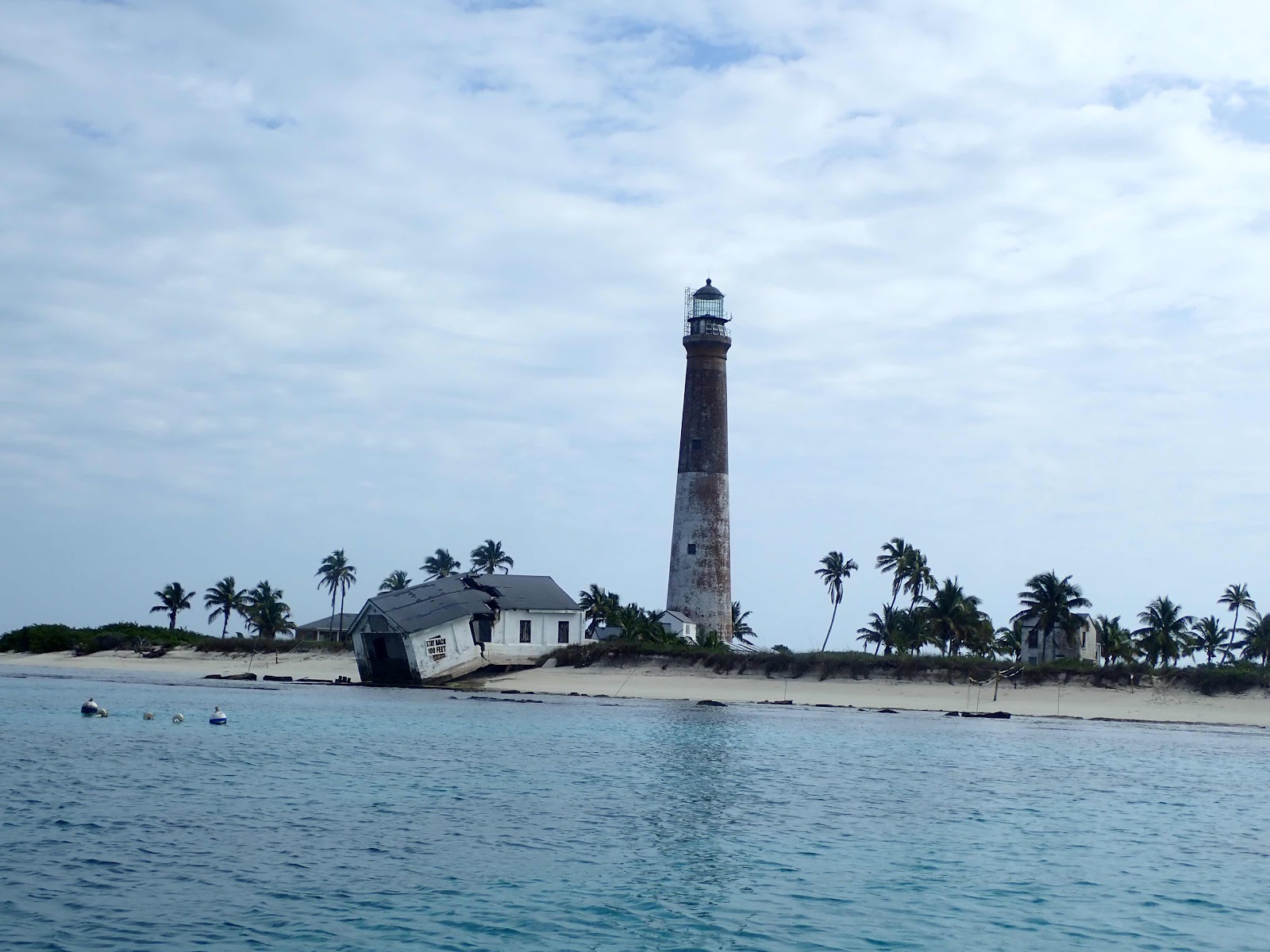
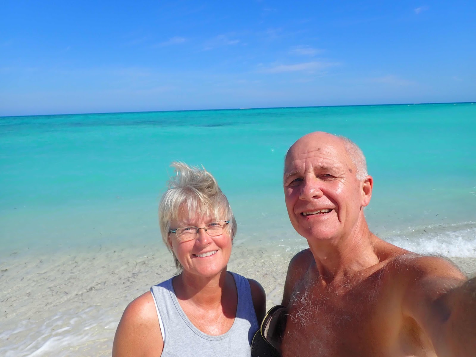
We are leaving Key West on Monday to visit the Dry Tortugas Islands.  These islands are located approximately 65 miles west of Key West.  We will be out of cell range during our time there so I will not be able to post again until we return.  However, you will be able to see our current location at all times by clicking on the map link on the right side of the main blog page at MVRightHand.blogspot.com  If you are using your cell phone, you might have to scroll to the bottom of the blog site and click on the ‘View web version’ link under the blue ‘Home’ button to see the map.


The Continuing Saga

  Well, another month has passed since my last post, and I must report that our trying times have continued to haunt us.  Not sure if we sho...