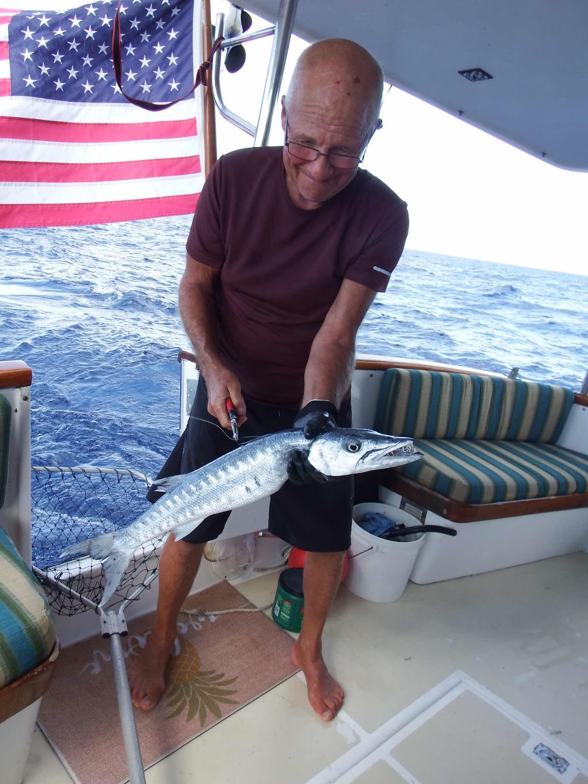
Update: The winner from the challenge in the last post is John M.
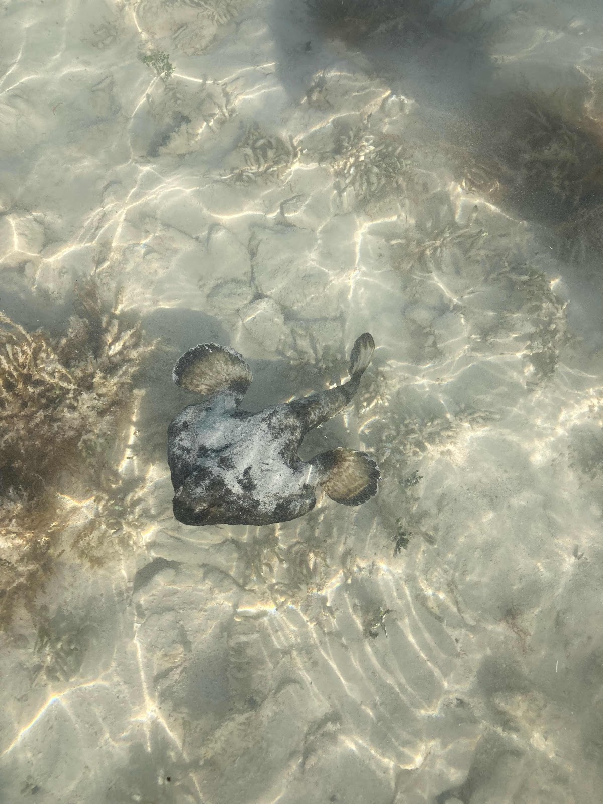
This is a short nose batfish! Thanks John! I’ve been told there are some very entertaining YouTube batfish videos (I can’t access them with my 2G service or I would link one for you). Also, when offered the guava paste prize, John told me to ‘pay it forward’ to some needy person here in TCI…stay tuned.

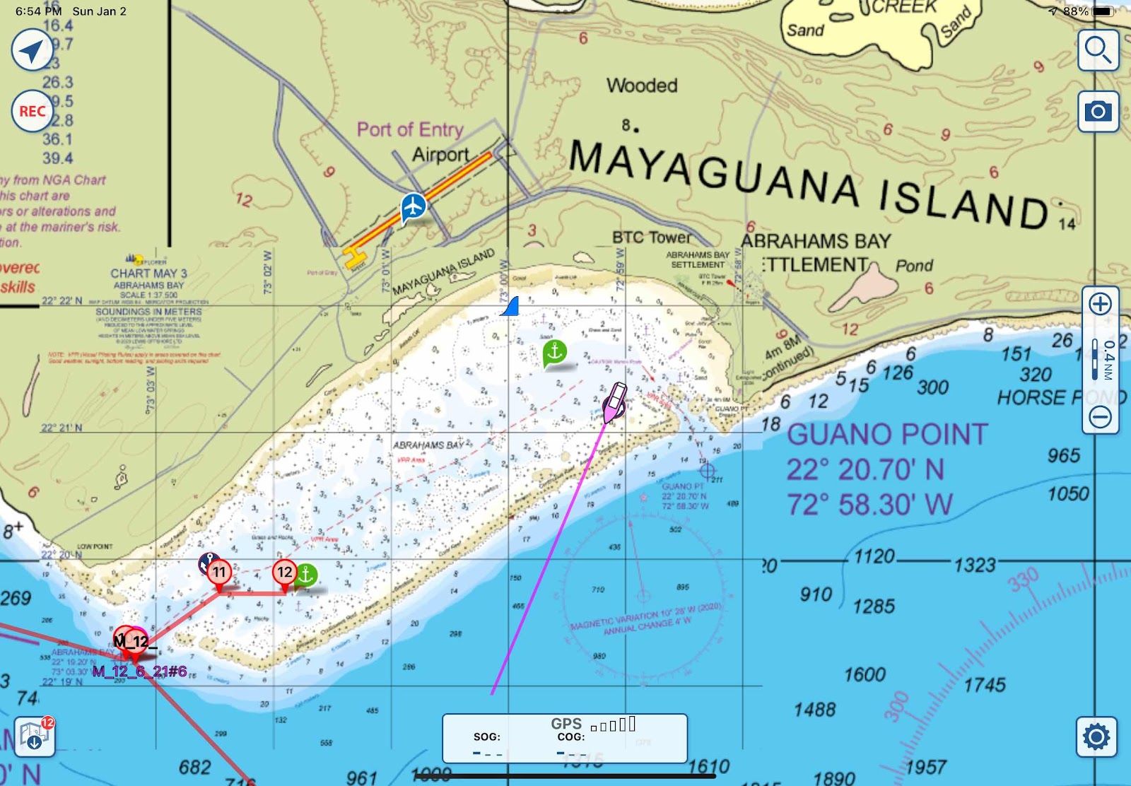
This chart will give you a better idea of the geographical layout of TCI. The Caicos group of islands has offered more protection than any other island on this southern route, if we can stay on the southwest side if the chain. With prevailing winds out of the east and northeast, we did get a reprieve from the effects of swell and surge while anchored in Sapodillo Bay (the pink star on the left). We traveled across Caicos Bank to South Caicos (the star in the center) with the intention of exploring that area for a few days before heading to Grand Turk (the star on the right). However, the wind dictated that we leave after two nights, or be caught in a harbor totally unprotected from a west wind.
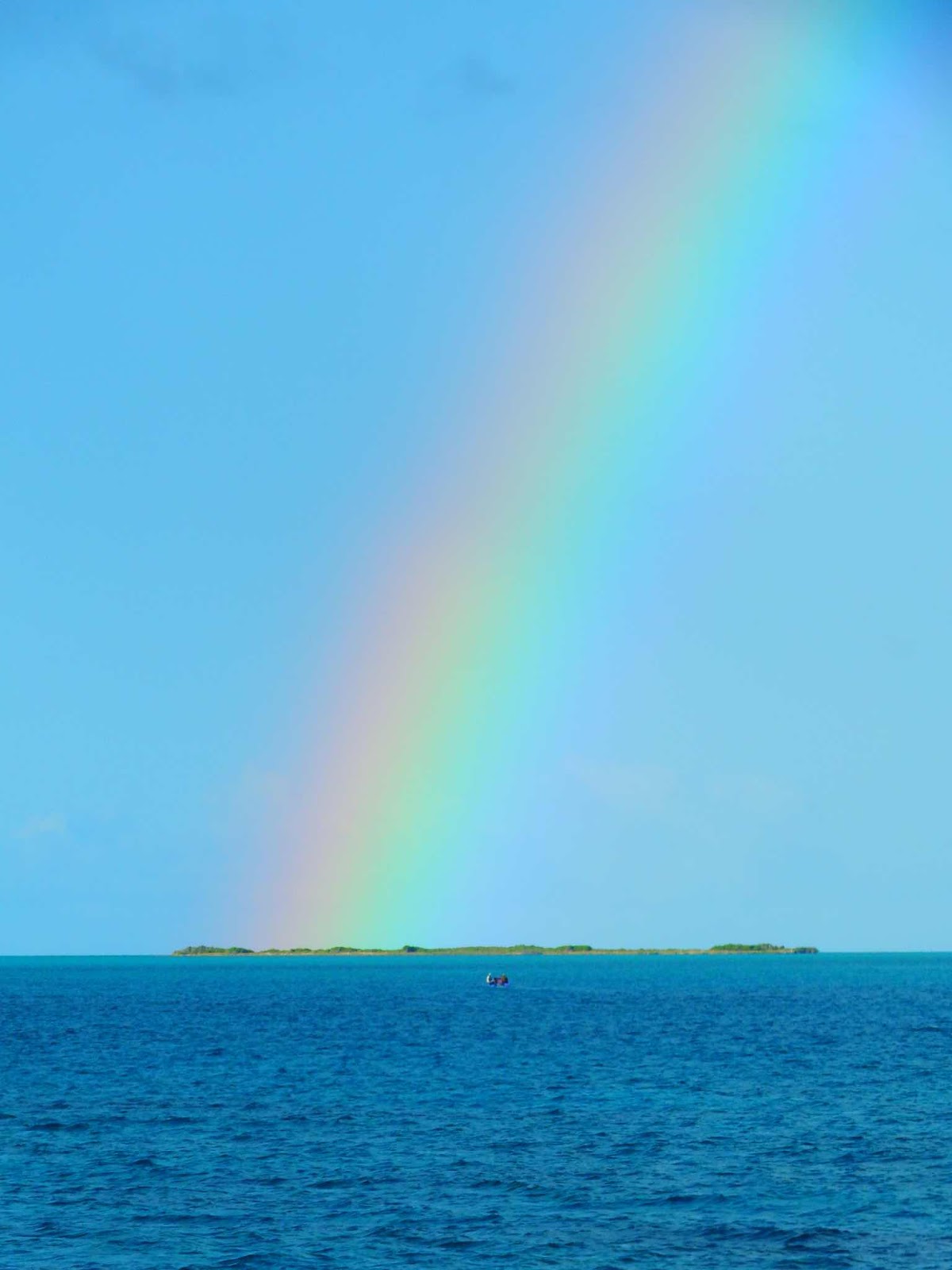
On the morning of our departure from South Caicos, this amazing rainbow was the backdrop to my anchor duty. It was actually a double rainbow, but the secondary rainbow wasn’t as bright, so I decided to post this picture of the enlarged primary rainbow. It isn’t often you can clearly see each of the colors! The Roy G. are particularly clear, while the three colors that make up Biv are a little convoluted, but still incredible!


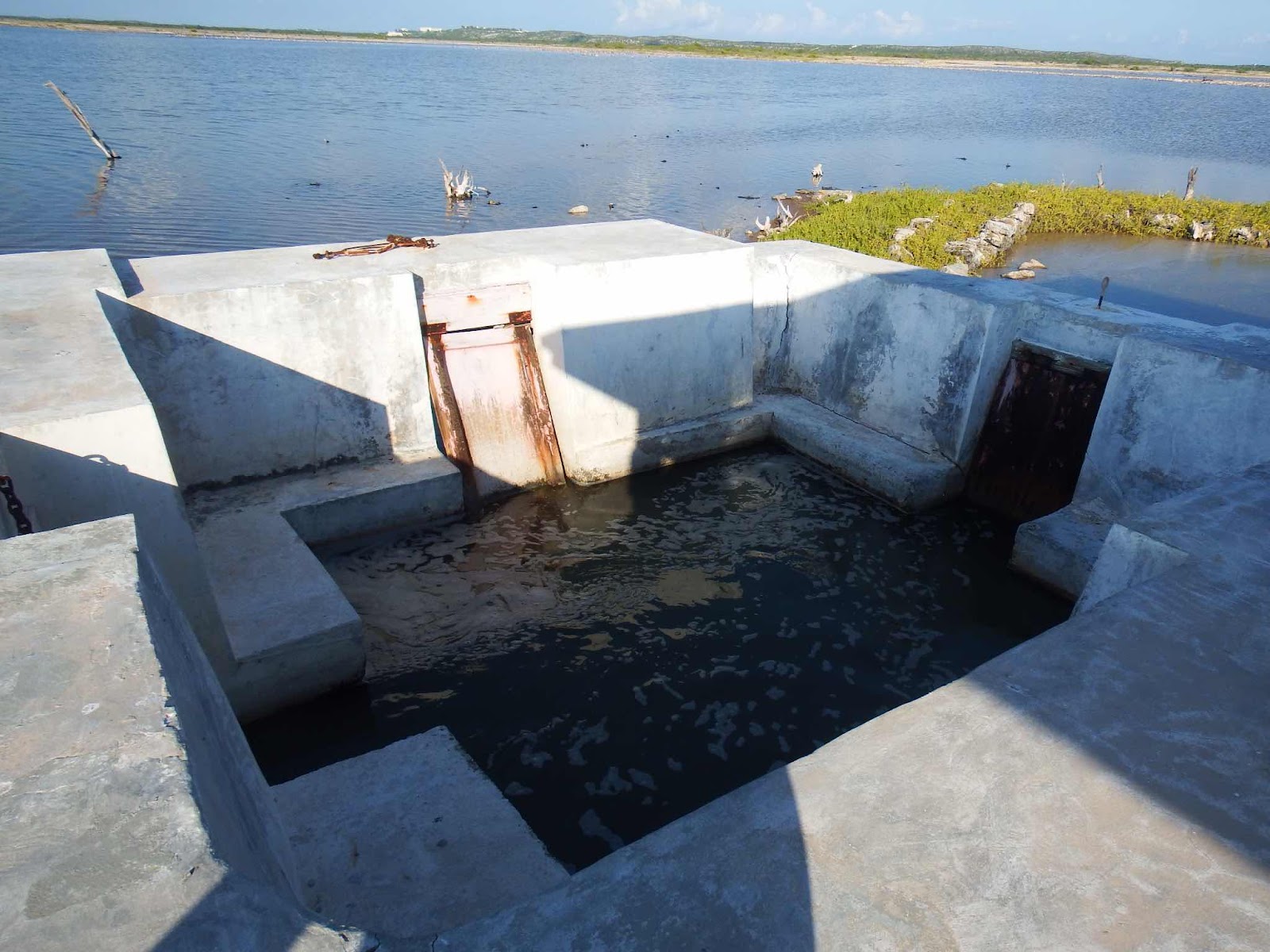
This site has a natural Boiling Hole (a subterranean cave system connected to the ocean) that delivers seawater as the tide rises. Ryan told us that a diver attempted to go down into this hole to see where it led, but abandoned the mission after reaching a depth of 100 feet.


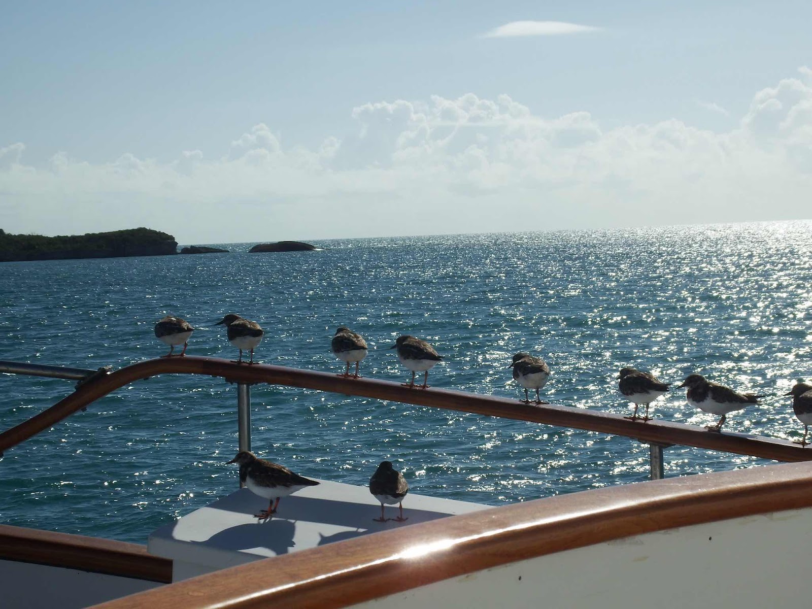
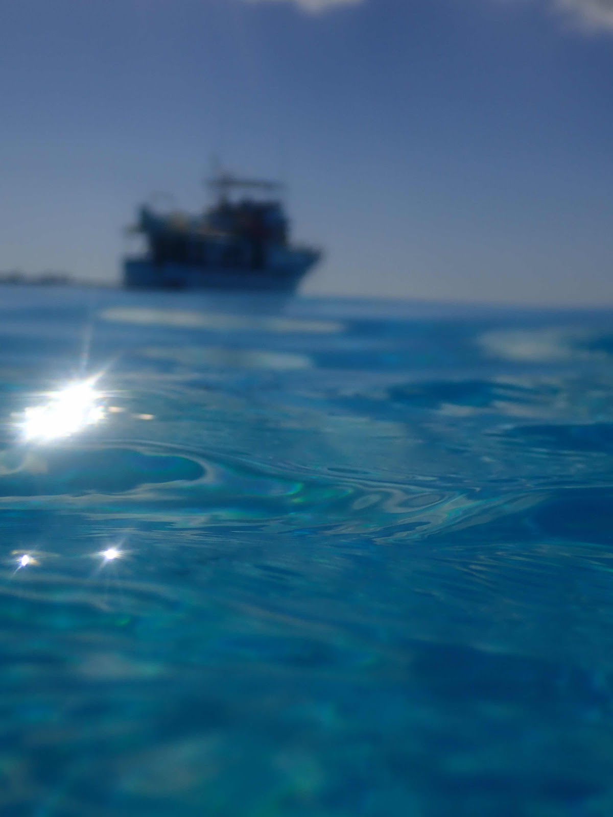
It has been a busy and eventful two weeks, since my last post. After carefully examining the wind forecasts, and our schedule, we changed our plans from heading to West Caicos to heading to Grand Turk. Grand Turk is the farthest destination we have planned for this season, and we decided to take the weather window to get there…then slowly work our way back. We have still been running and hiding from wind, and we are still having problems with the hiding part of that equation.
This chart will give you a better idea of the geographical layout of TCI. The Caicos group of islands has offered more protection than any other island on this southern route, if we can stay on the southwest side if the chain. With prevailing winds out of the east and northeast, we did get a reprieve from the effects of swell and surge while anchored in Sapodillo Bay (the pink star on the left). We traveled across Caicos Bank to South Caicos (the star in the center) with the intention of exploring that area for a few days before heading to Grand Turk (the star on the right). However, the wind dictated that we leave after two nights, or be caught in a harbor totally unprotected from a west wind.
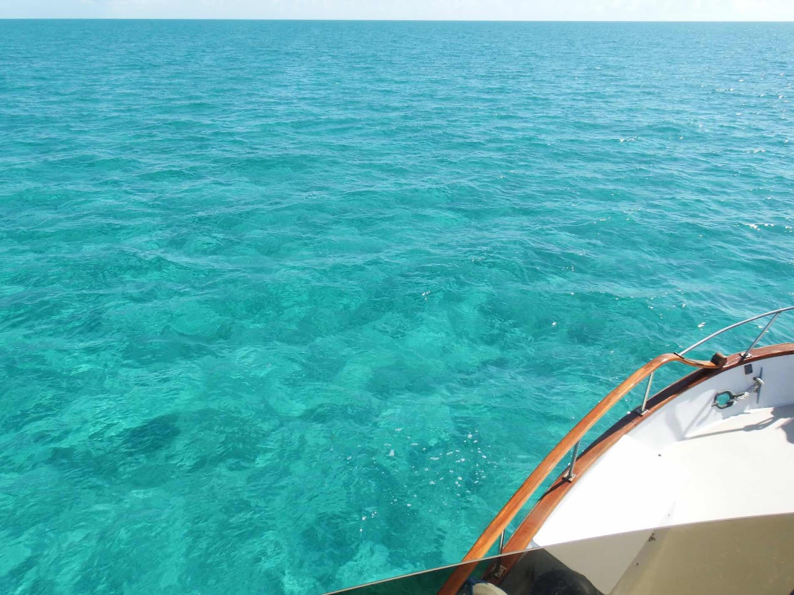
Caicos Bank is fabulous. The depth remained 12-14 feet during the entire 50 mile trip, but constant attention at the helm is necessary as there are numerous coral heads. If you enlarge the chart above you will notice a lot of + marks, each of these symbols represent a coral head identified by satellite. This area is designated VPR, which means Visual Piloting Rules apply, since it is essentially unsurveyed. It is important to cross this area on a clear day, with the sun overhead to clearly ‘read’ the changes in water color.
On the morning of our departure from South Caicos, this amazing rainbow was the backdrop to my anchor duty. It was actually a double rainbow, but the secondary rainbow wasn’t as bright, so I decided to post this picture of the enlarged primary rainbow. It isn’t often you can clearly see each of the colors! The Roy G. are particularly clear, while the three colors that make up Biv are a little convoluted, but still incredible!
Note for my grandchildren: Roy G. Biv is a tool (made to sound like a name) used to help you remember the colors of the rainbow…red, orange, yellow, green, blue, indigo, violet.
During our crossing to Grand Turk I saw the largest swell waves I have ever seen. These waves weren’t extreme height-wise (probably around 5 ft), but the girth was unbelievable! When looking across the horizon it looked like a train of large hills rolling toward us. Each wave was hundreds of feet wide, but since we were crossing them at a shallow angle the motion was fairly gentle. Even so, at the crest and trough of each wave, I experienced the sensation of an elevator stopping and dropping, or stopping and rising.
Grand Turk had an active cruise ship schedule last week. A total of five ships came and went during our four day visit. We had every intention of visiting the island, however, between the rough seas on the west side of the island (where the town accessibility is located) and the thought of sharing the 5 mile island with 15,000 of our closest friends we decided to stick to the uninhabited places around Grand Turk.
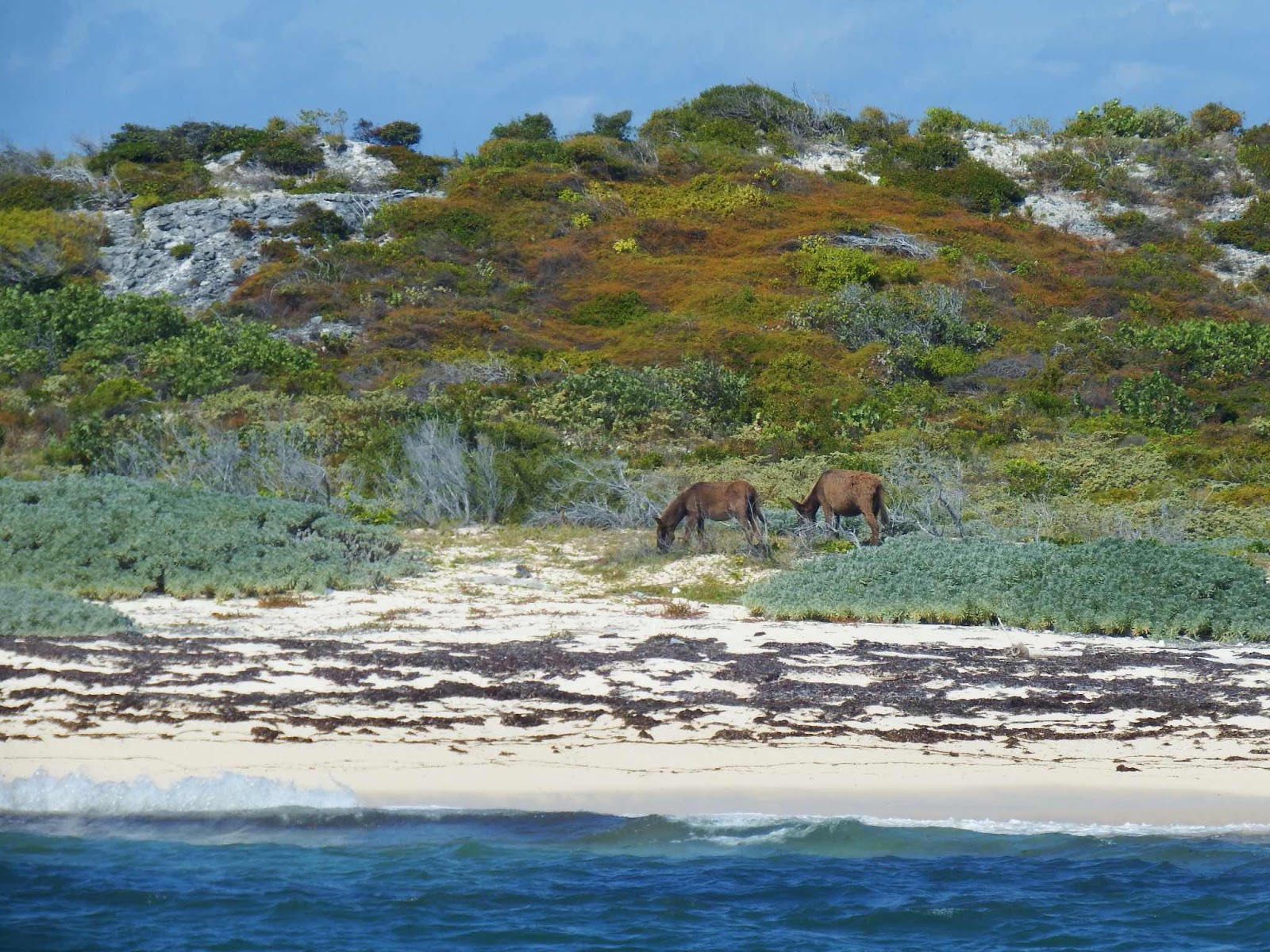
Without going ashore, we learned that there are a lot of donkeys on the island. I don’t know if you are familiar with the sound they make, but Keith and I agree that it is similar to ruckus laughter. Every evening when the donkeys started to bray we couldn’t help but to laugh…in the four days we were there, it never got old. We cracked up every time we heard it😂
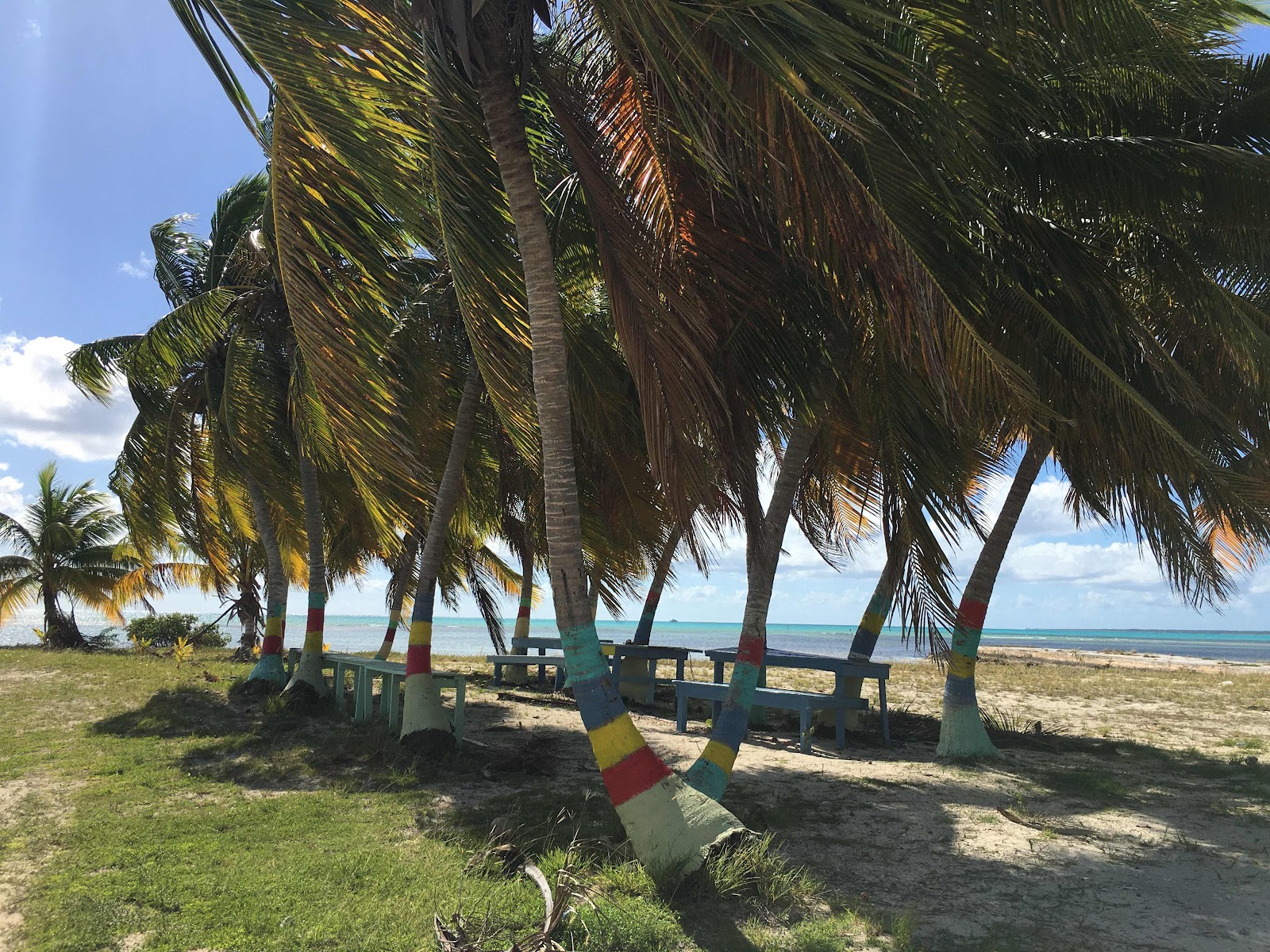
Gibbs Cay is 1 mile from Grand Turk, which is the appropriate amount of space needed to social distance from a cruise ship (you can still see the ship in the background.
While strolling on the beach we noticed a coconut that was cracked open and contained about 10 hermit crabs eating what was left in the coconut. Always interested in scientific experimentation, I thought we should share some of our lunch to see which items hermit crabs preferred. We added pieces of carrot, apple, and prune to the area, then took a little hike up the hill. When we returned (only about 20 minutes later) the number of hermit crabs had tripled, and they were devouring everything in sight. The unscientific conclusion is that hermit crabs will eat just about anything. To my untrained eye, it looked like they were really enjoying the prune!
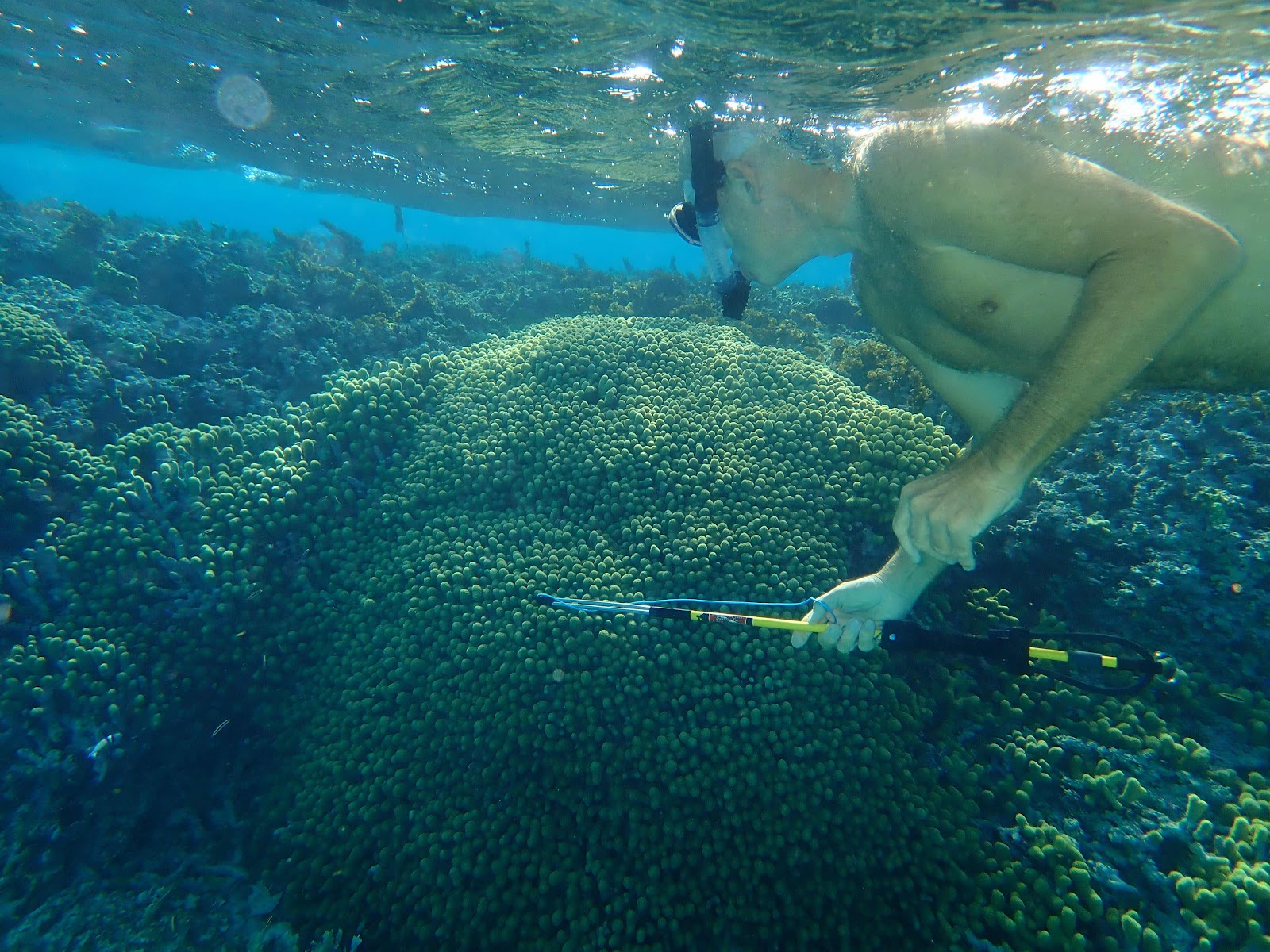
This was the view from the top of Gibbs Cay. There were numerous coral heads between the two island that we snorkeled before lunch.
After lunch we headed north to snorkel a different spot. I was leaning over the bow of the Whaler watching the anchor drop to the bottom (to make sure it lands in sand) when a shark swam right out from under the boat and scared the bejeezers out of me. I’m not sure if I mentioned this before, but I startle easily! Anyway, Keith laughed at me and started to get his snorkel gear on when we noticed several sharks swimming around the boat. In all, the count got up to six sharks circling under the boat during the 15 minutes we sat there and watched. This picture was captured when Keith stuck the camera in the water. We both agreed we would look for a different place to snorkel.
We traveled about a half mile farther north and found another beautiful coral head. This one seemed to have only one shark, so I agreed to get in because it seems like keeping an eye on one shark is much more doable than keeping track of six. I know people reading this are thinking I’m a big sissy (which I am) because ‘they are only nurse sharks’…well let me tell you the internet is full of nurse shark biting people videos! Anyway, I try to calm my fears by thinking reassuring thoughts like, ‘if this shark bites me I probably won’t die!’ And then I repeat in my head…be brave, be brave, be brave!
We snorkeled that reef for about 20 minutes, and that shark followed us the entire time! Most nurse sharks will check you out then swim away. Not this one! For 20 solid minutes this shark was either right behind…
Or directly under me…ugh!!!
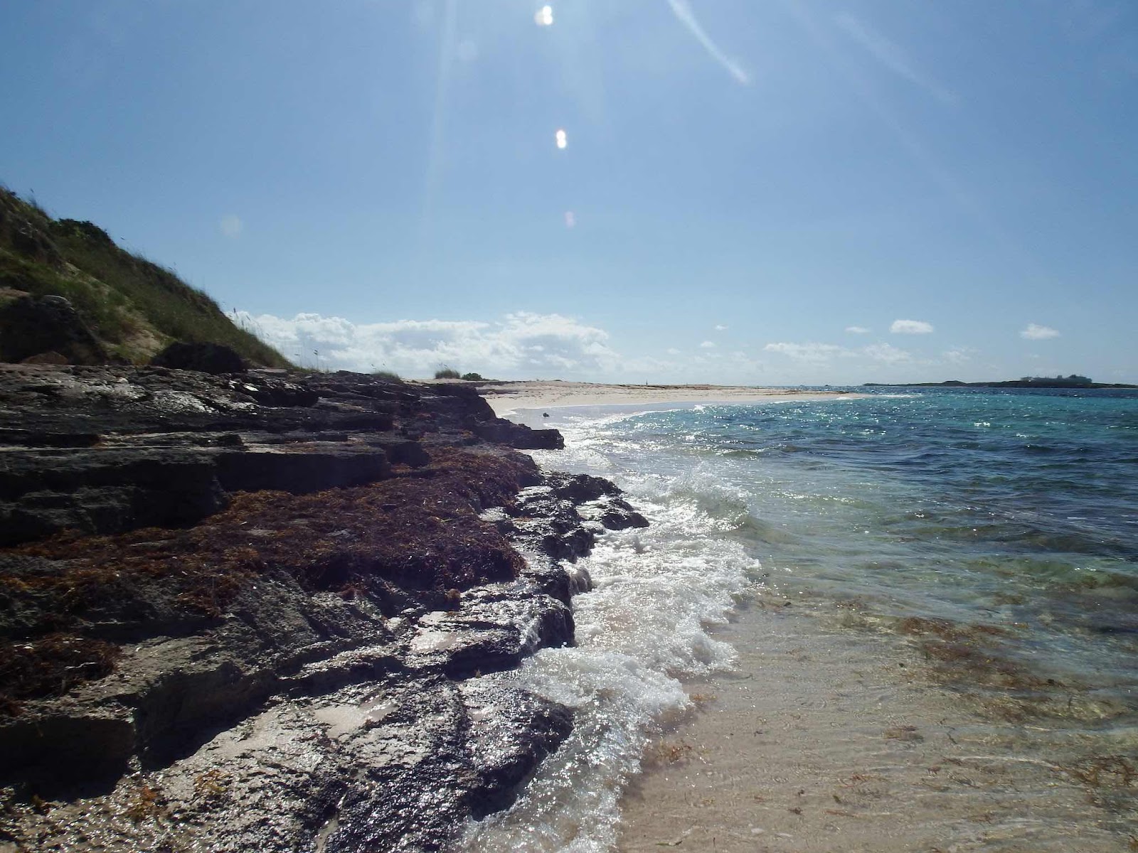
Our time off the coast of Grand Turk was great, but we decided to head back to South Caicos as clocking winds starting from north was forecasted, and Grand Turk has no protection.
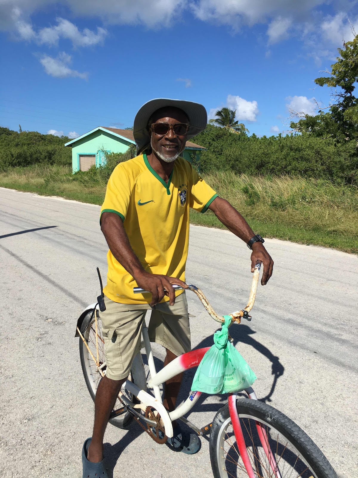
Finally able to explore South Caicos, we started at an outdoor cafe for lunch. There we met a young man named Ryan, who was VERY interested in helping us with anything we might need. He wanted us to visit his house after lunch to see some ‘authentic’ souvenirs. He also told me that he could show me where there were flamingos. We made a deal that if I got a picture of a flamingo, I would buy one of his souvenirs…I think I found John’s ‘pay it forward’ guy!
We walked a short distance to the interior abandoned salinas (salt beds), where salt harvesting was big business for Turks & Caicos for more than 300 years…and guess what, there were flamingos!
This site has a natural Boiling Hole (a subterranean cave system connected to the ocean) that delivers seawater as the tide rises. Ryan told us that a diver attempted to go down into this hole to see where it led, but abandoned the mission after reaching a depth of 100 feet.
Rock walls were built to separate the salinas so that as water evaporated the increasingly briney water could be pumped (by way of a windmill) to different beds.
If you would like to learn more about this very interesting history, please follow this link.
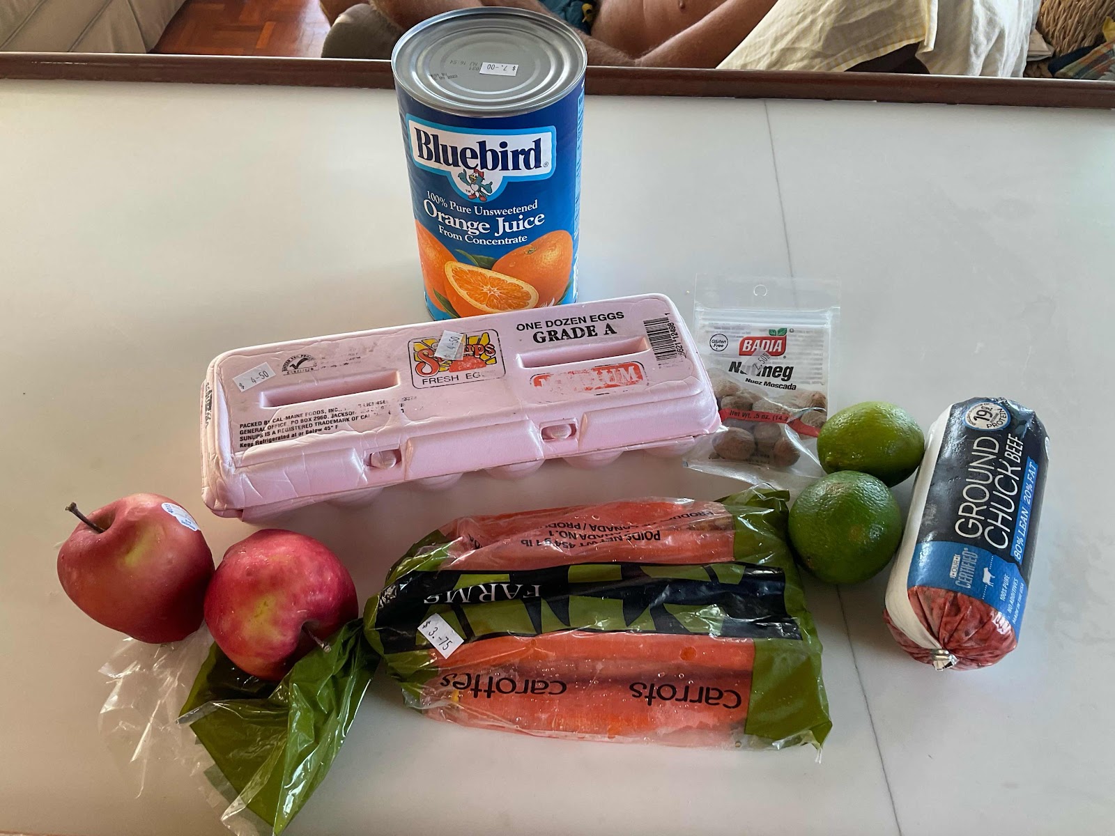
Ryan assured us that if we stayed until sunset we would see the entire flock of flamingos return to the salt flats. This did sound amazing, but we were determined to get in a snorkel session before dark so we had to decline. We followed Ryan to his home and bought conch shell art souvenirs from him, and two bead bracelets from his mother. He then took us to the best grocery store so we could get some fresh veggies, and he carried the bag back to our boat. All of this attention earned him a tip for his dedication😉 Pay it forward, mission accomplished!
And our snorkel experience was magical…
By the time we got into the water it was close to 4:00, so the sun was getting low on the horizon. As you might guess, I wasn’t feeling great about how dark it seemed under water (isn’t this the time of day large things come out to eat?)…be brave! Within a few minutes I saw something very large coming straight toward me at a fairly high rate of speed😳. As soon as my brain processed a ray, my heart started to beat again. I quickly got Keith’s attention so he could get a picture.
Still, this wasn’t like any ray I had ever been in the water with before. The first Spotted Eagle Ray had a wingspan of approximately 5 feet. It sped past us flapping its wings as it flew through the water.
Within a few minutes a second Spotted Eagle Ray, even bigger than the first (with at least a 6 foot wingspan and an 8-10 ft tail) soared past. Over the next 15-20 minutes, those two rays glided past us 5 or 6 times as they cruised around the reef. Being in the water with them was incredible, magical, phenomenal…feel free to insert any of my favorites words here!
Goodbye South Caicos! Hopefully we will have more time to snorkel during our next visit.
We are preparing for company to join us on the boat. Patricia and Dave are flying in from New Hampshire this week…FUN!! I hope their systems aren’t in for too much of a shock!
We are preparing for company to join us on the boat. Patricia and Dave are flying in from New Hampshire this week…FUN!! I hope their systems aren’t in for too much of a shock!