Monday, February 28, 2022

Crooked Rum

We departed from Great Inagua at 3:00 am, with the plan of covering 80 miles to anchor on the west side of Acklins Island.  The first 10 hours of this leg were great with a beautiful sky and calm seas.  However, the winds picked up and the seas grew quickly and it became clear that our original anchor location was not going to offer any protection from this unforecasted NW wind that was currently making big waves.  We changed our destination, which added 24 miles to the trip, and headed for the east coast of Crooked Island. 

We found enough protection to spend the night, but woke up to fairly big waves on our bow, because the winds had changed to come out of the east (as previously forecast).  This strong easterly was predicted to be around for a few days so we had to move to a more protected location.  We decided to try the west side of Crooked Island, but as soon as we cleared the point we were in a huge swell still running out of the NW…yikes…go back, go back! 

I was at the helm, but while I had one hand on the wheel and one on the throttles, Keith stepped up to operate the transmission selectors.  We timed our waves and agreed…not this wave, but after the next we go…spinning the wheel hard to starboard, I brought the throttles back long enough for Keith to put the starboard engine in reverse (with the port still in forward), and I quickly increased the throttles to spin the boat around.  Our timing was perfect, and before the next wave could broadside us we were heading back whence we came.

We ended up backtracking to the west side of Acklins Island (where we had originally planned to hide from the blow), where we spent several days enjoying a wonderfully protected anchorage. Once the winds died down we headed back to the west side of Crooked to stage for the next leg to Rum Cay.  We anchored off Landrail Point settlement where we joined 8 strangers there to celebrate a birthday (most from sailboats anchored nearby) to enjoy a wonderful dinner at Gibson’s restaurant.

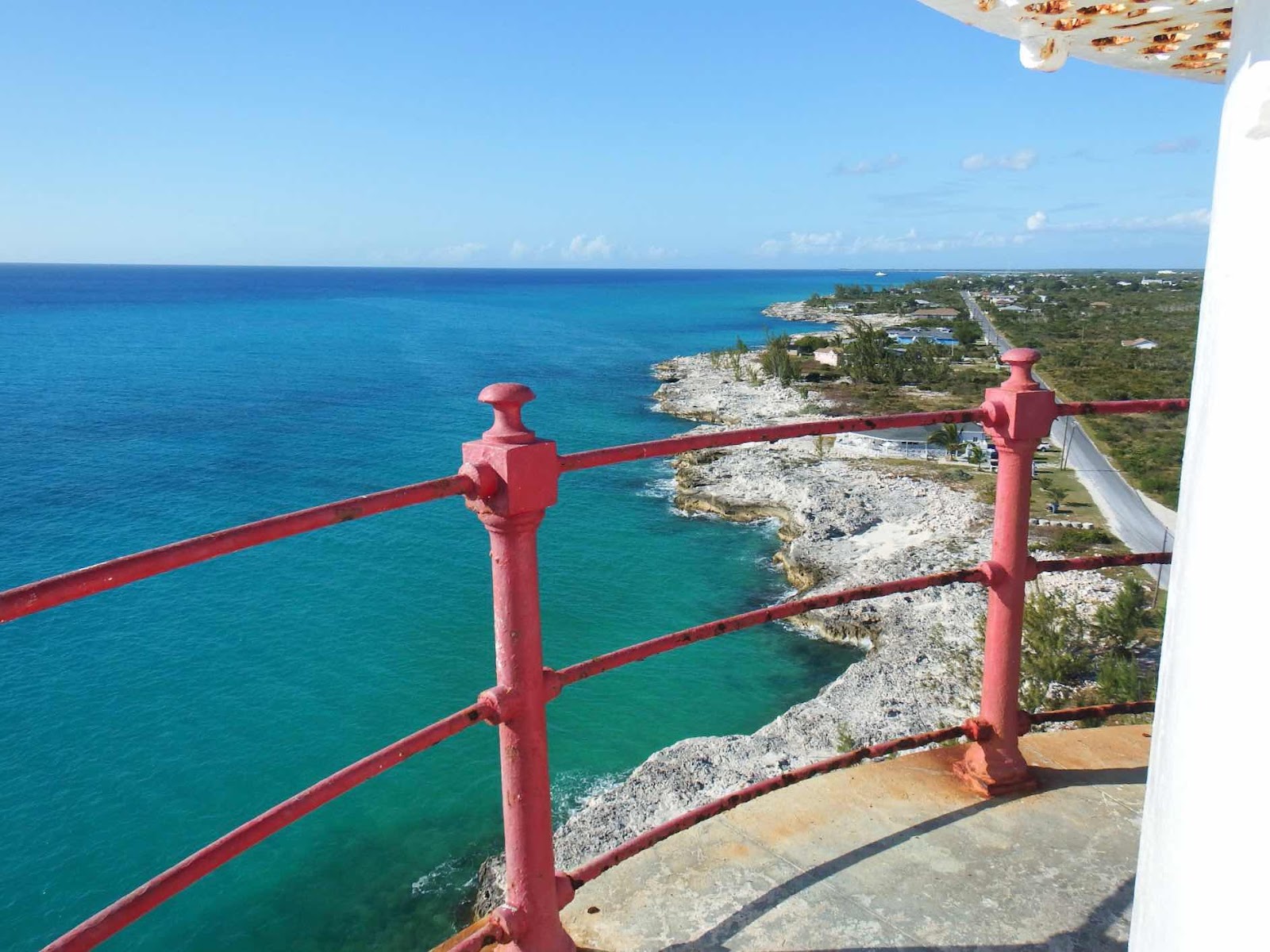
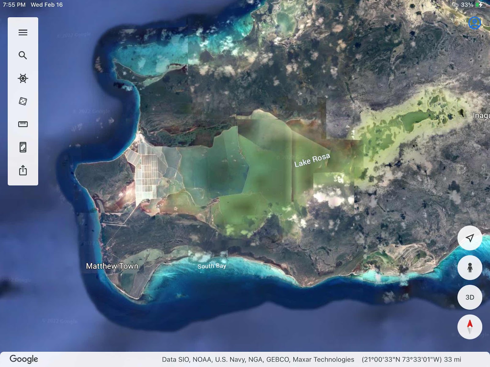
We also had time to explore this incredible lighthouse located on Bird Rock at the NW corner of Crooked Island. 

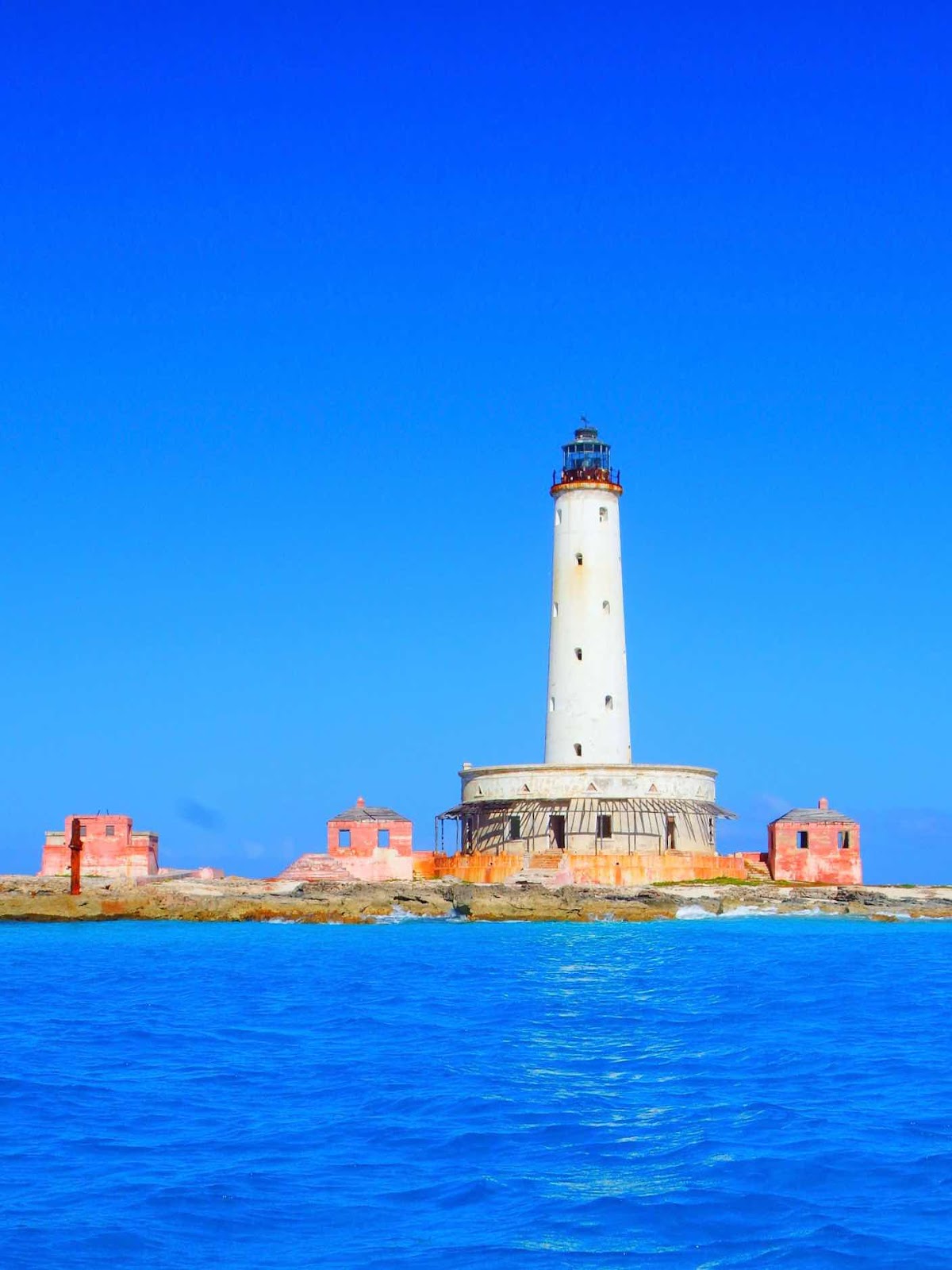
I could find very little history besides the year built, 1876. I do believe several interesting YouTube videos exist, but as I’ve mentioned before, I can’t watch them because I can’t download them, and I don’t want to attach a link to something I haven’t seen.

The circular building at the base of the lighthouse is not attached, and looks more like a donut slid over the lighthouse. There are also four separate buildings on the site.

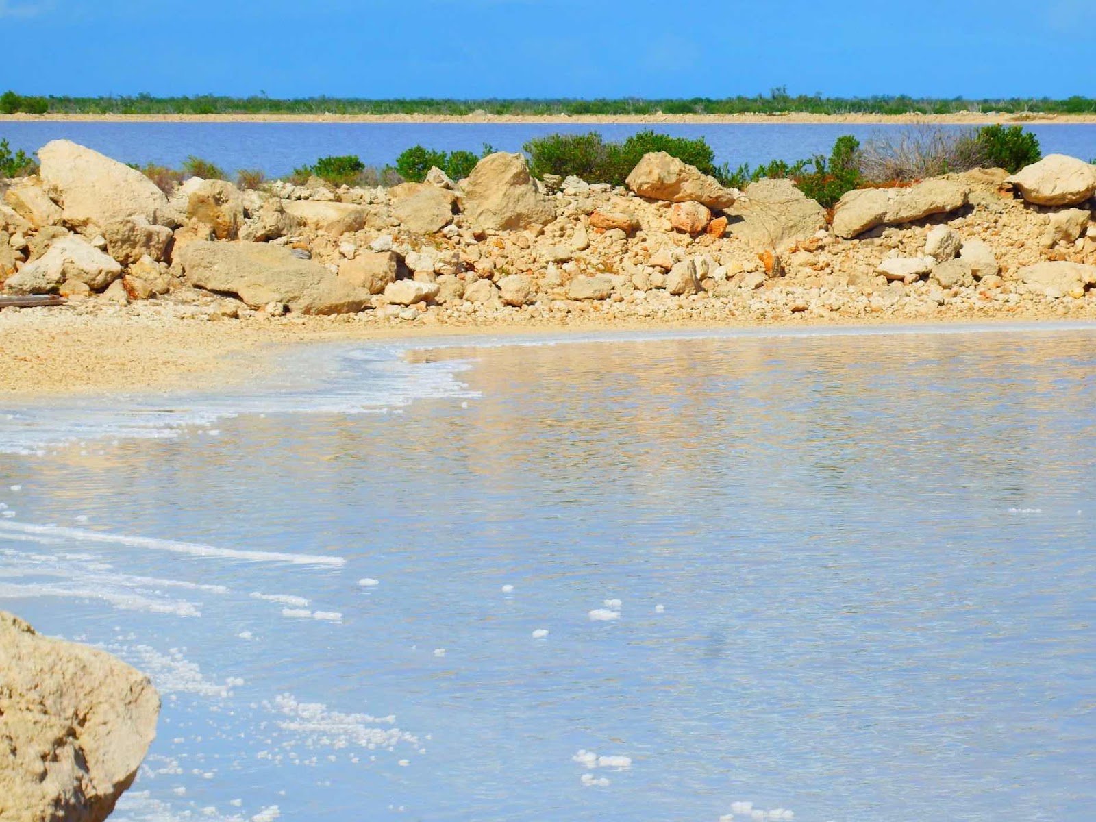
In order to visit, Keith had to nose the Whaler up to a small sandy spot so I could jump off, but he stayed on the boat, as conditions were too rough to anchor.  This lighthouse sits on a narrow strip of rock and sand, with the open waters of the Atlantic to the right in this picture.

The views are fantastic and the construction impressive!

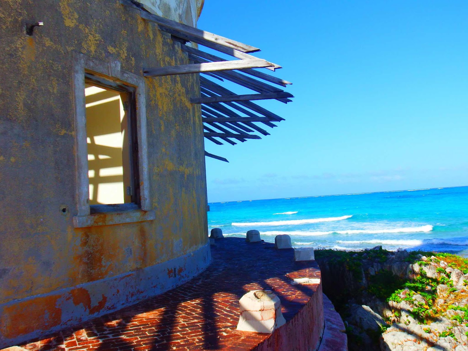
I was surprised to see this lighthouse is constructed from brick, but if you look closely at the second picture you can see that the parge has been blasted away on the Atlantic side of the lighthouse.

The roof of the donut shaped building is slanted down toward the lighthouse, with pipes installed to collect the rainwater and store it in a cistern under the building.

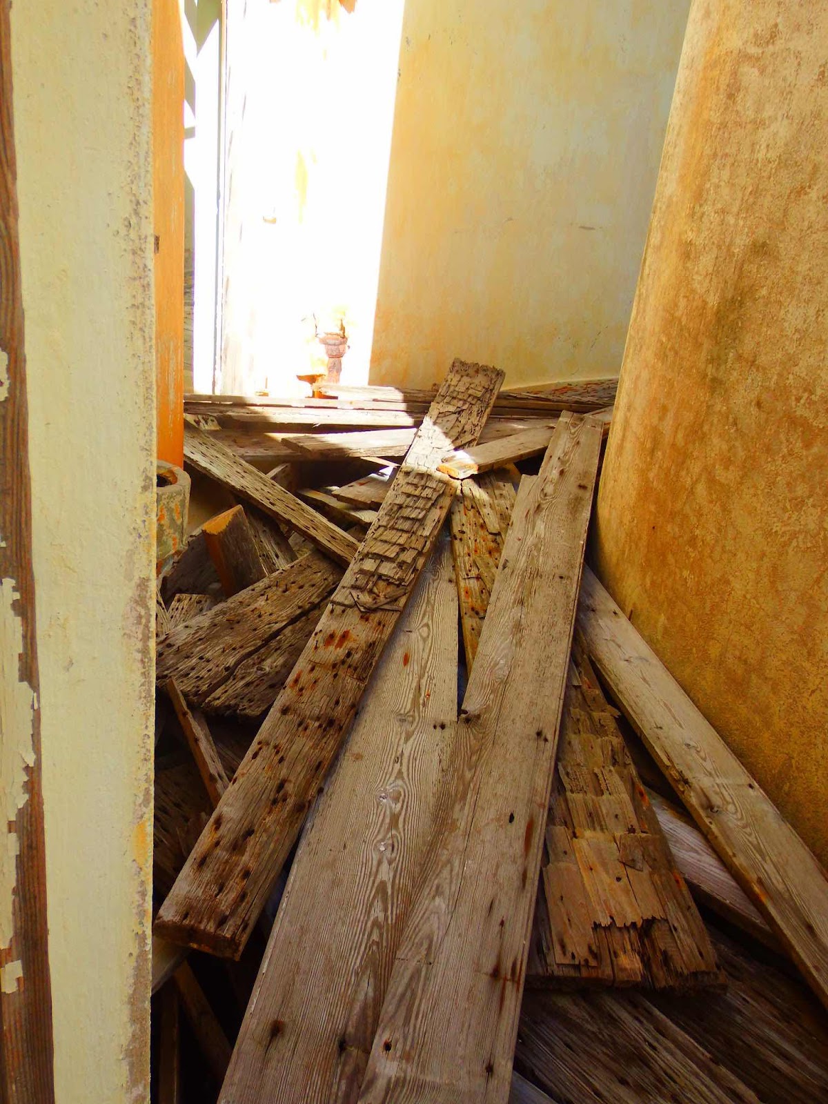
The walkway between the lighthouse and the donut building is piled with the boards that were once the roof.

There were a total of 10 rooms in the base building.  Two of the rooms looked like this with concrete floors and two openings to the cistern waters below.  The other rooms had wood floors.  You can see Keith out the window, waiting for me to explore.

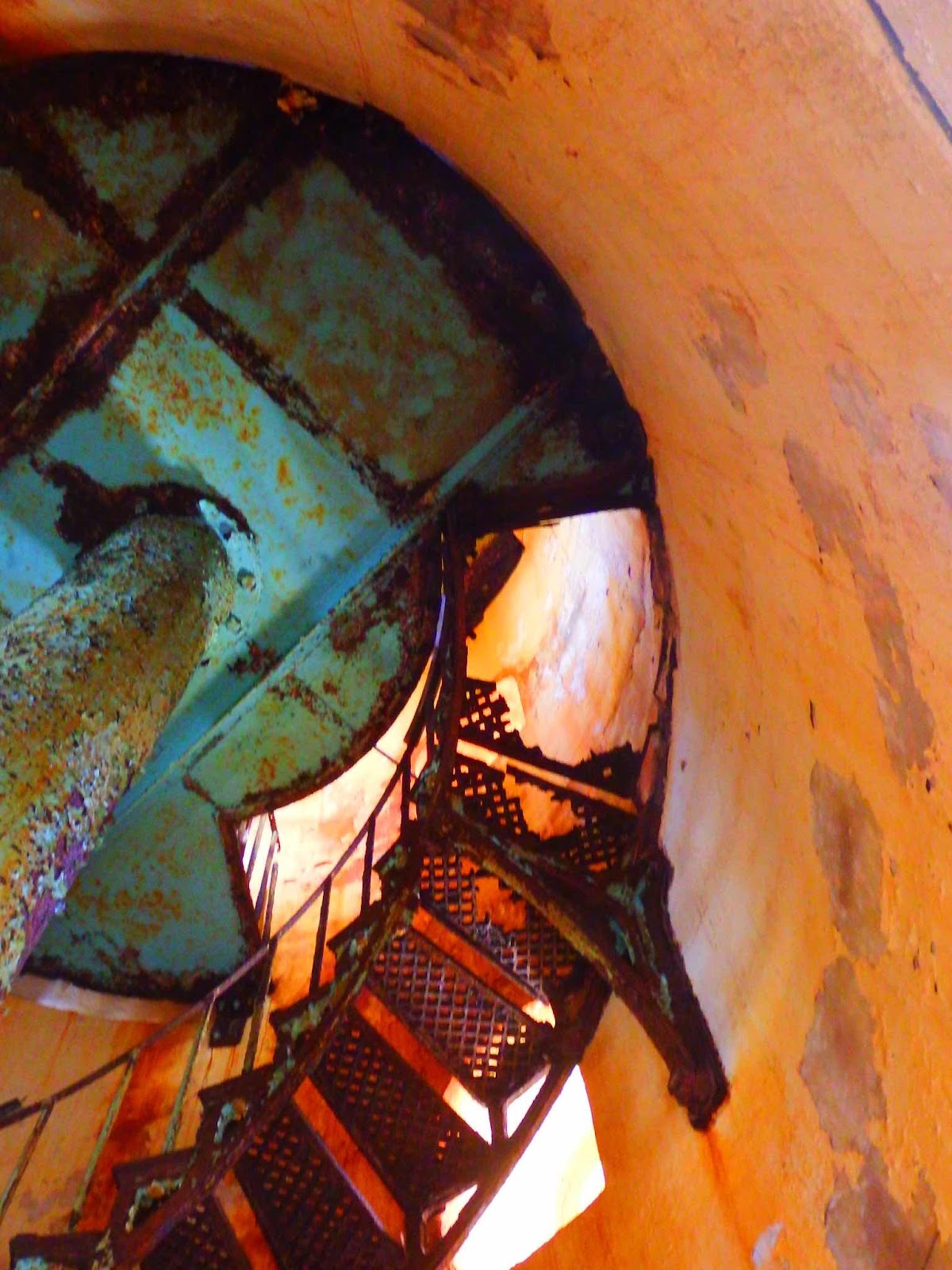
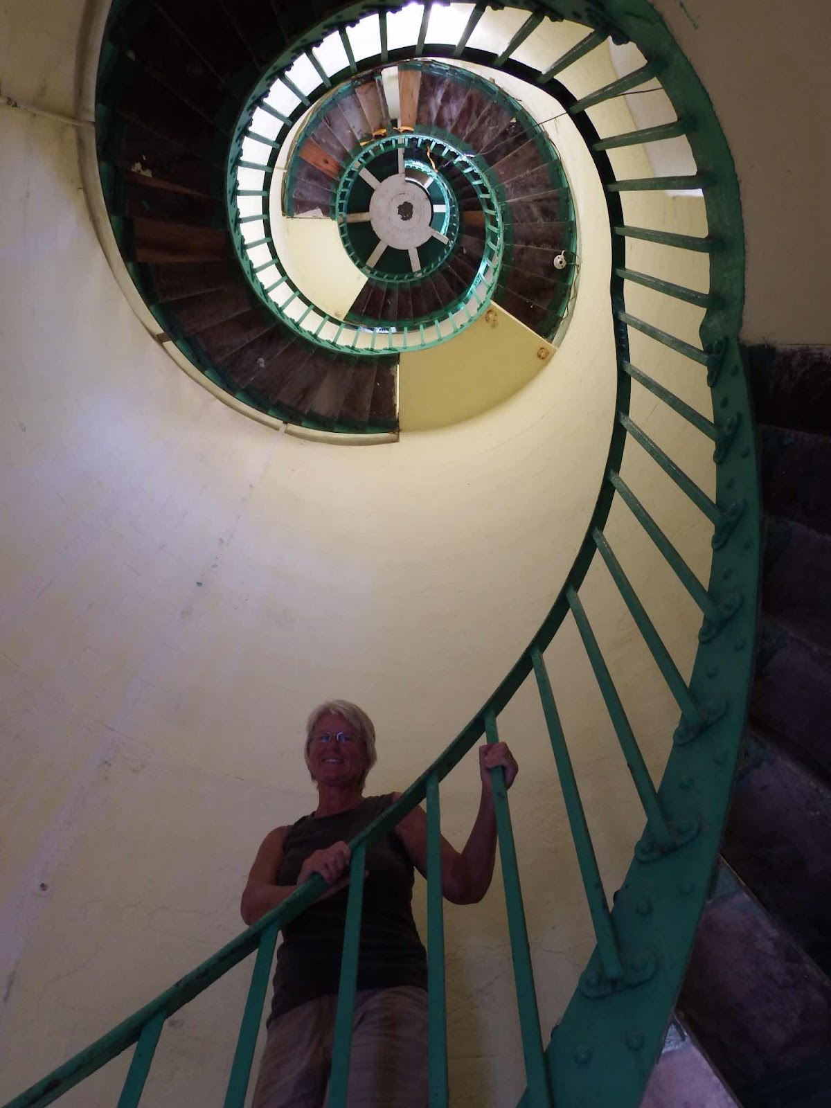
There was no way to reach the top of the lighthouse…not for an old woman like me anyway…there were several steps missing.

This very fortified looking building was the latrine. I think it had a ladies side and a gents side. 

Both sides also had accommodations for small people.

I’m guessing this might have been the kitchen.  There was a chimney and another square structure that gave access to the cistern.

One building contained shelves for storage.  This picture would make a good lead poisoning flyer.

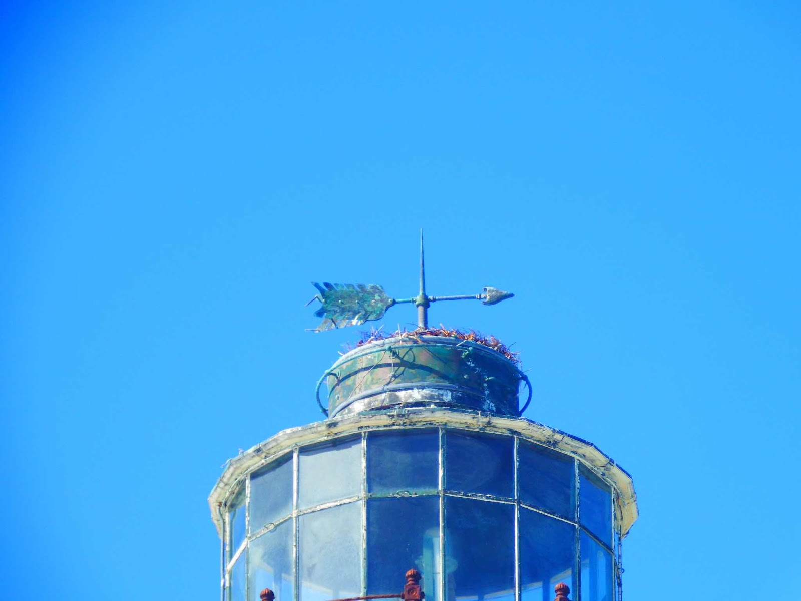
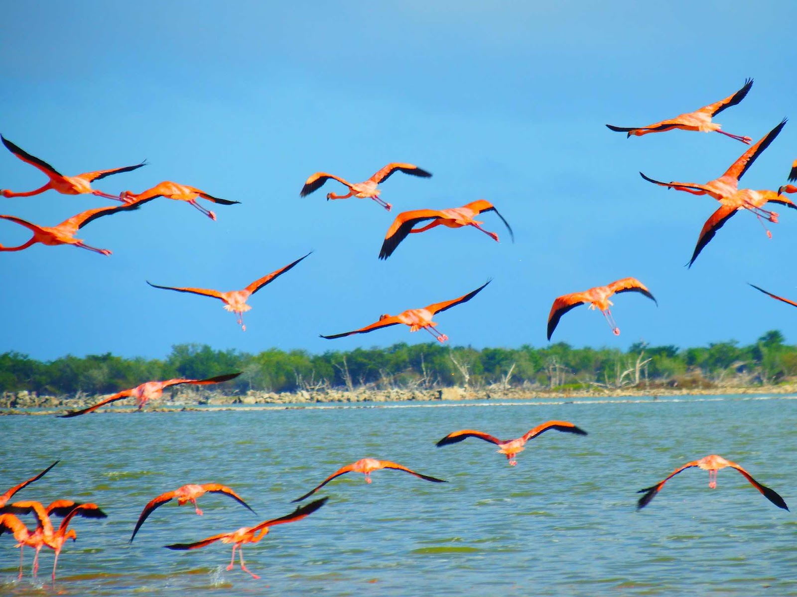
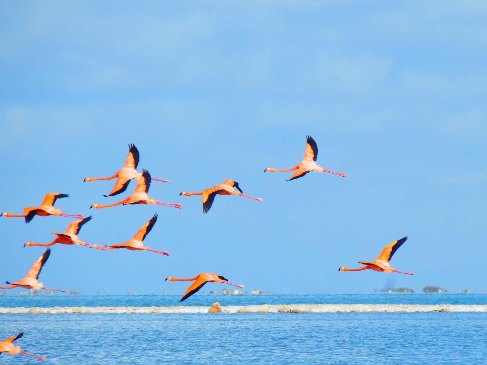
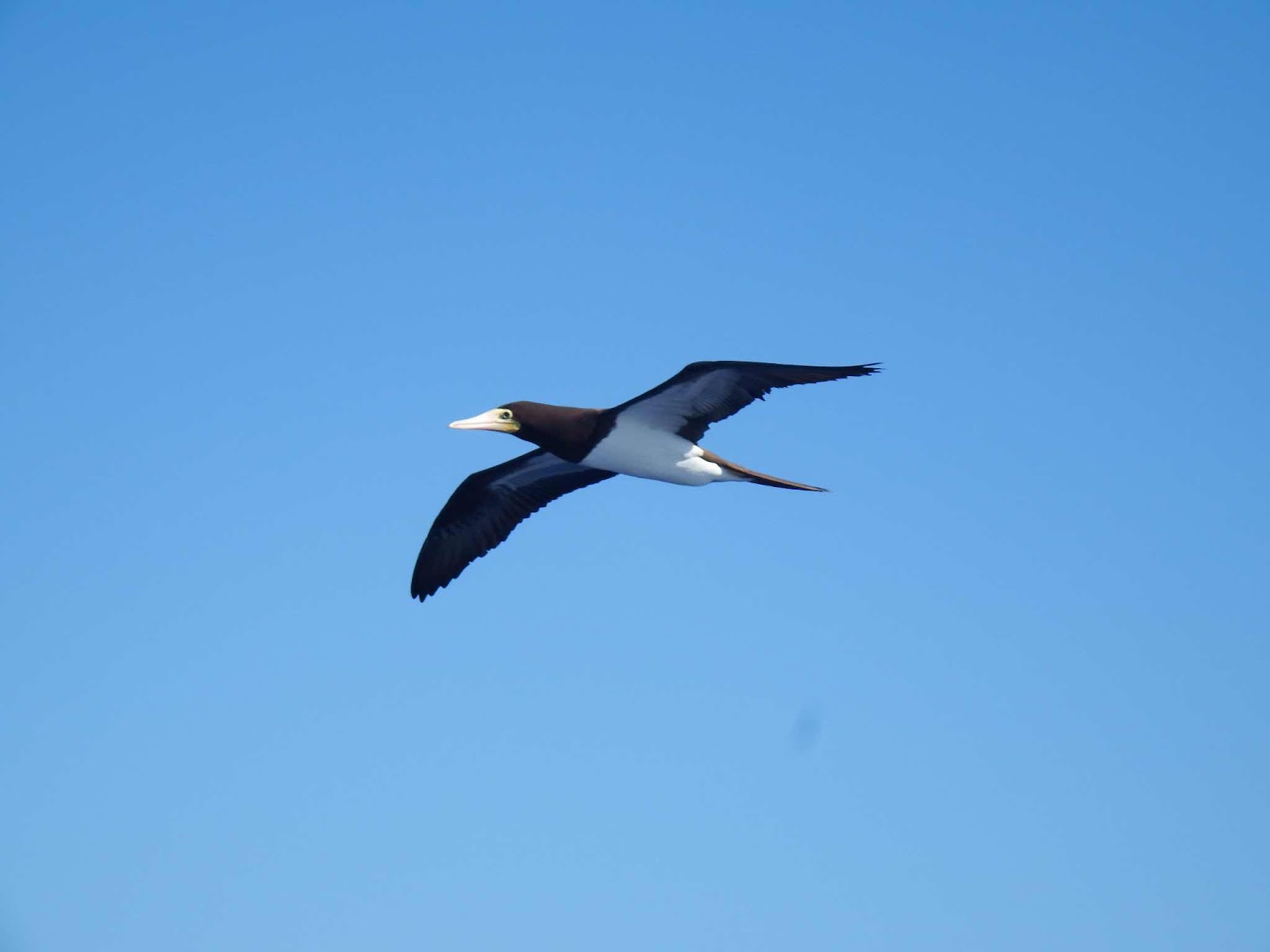
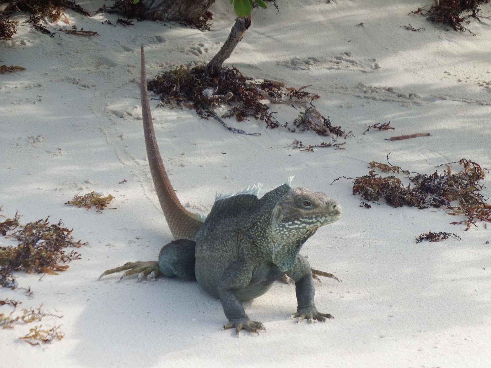
Something is enjoying the view from the top of the lighthouse!

When I was ready to leave, Keith nosed in to get me, but before I could jump on the swell pushed to boat sideways.  While I ran around to push the stern of the boat out, Keith was lifting the motor to make sure it didn’t dig into the sand.  Once righted I pushed off yelling “go, go, go”…but I wasn’t actually in the boat yet, because I needed to make sure the next wave wasn’t going to push the boat up again.  Once I saw he was making progress backward I dove over the rail.  This left me with my head and shoulders in the boat, and the other 90% of my body weight hanging over the bow.  I know the railing on the Whaler is intended to keep people in the boat, but it does just as good a job keeping you out!  I managed to get myself inside and righted (not the most graceful of entrances).  These are the times I am happy we don’t carry a GoPro video camera.

I might be getting too old for this…

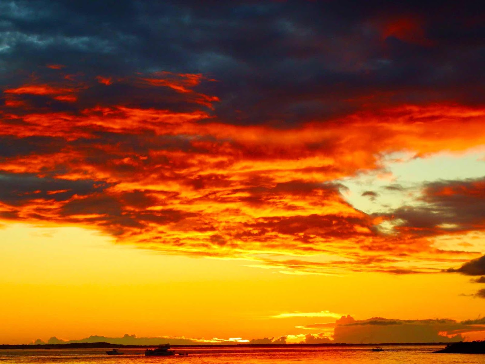
With a bruised belly and sore ribs, we are off to Rum Cay…
Finally, Keith’s dream of catching a Mahi Mahi is realized… 42 inches of deliciousness!

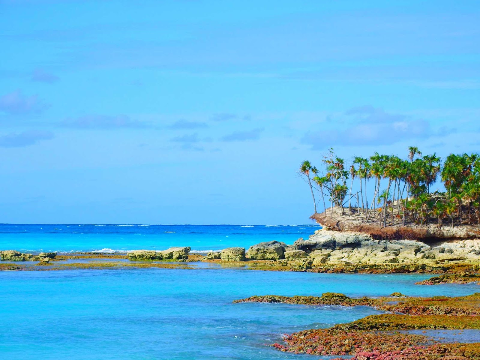
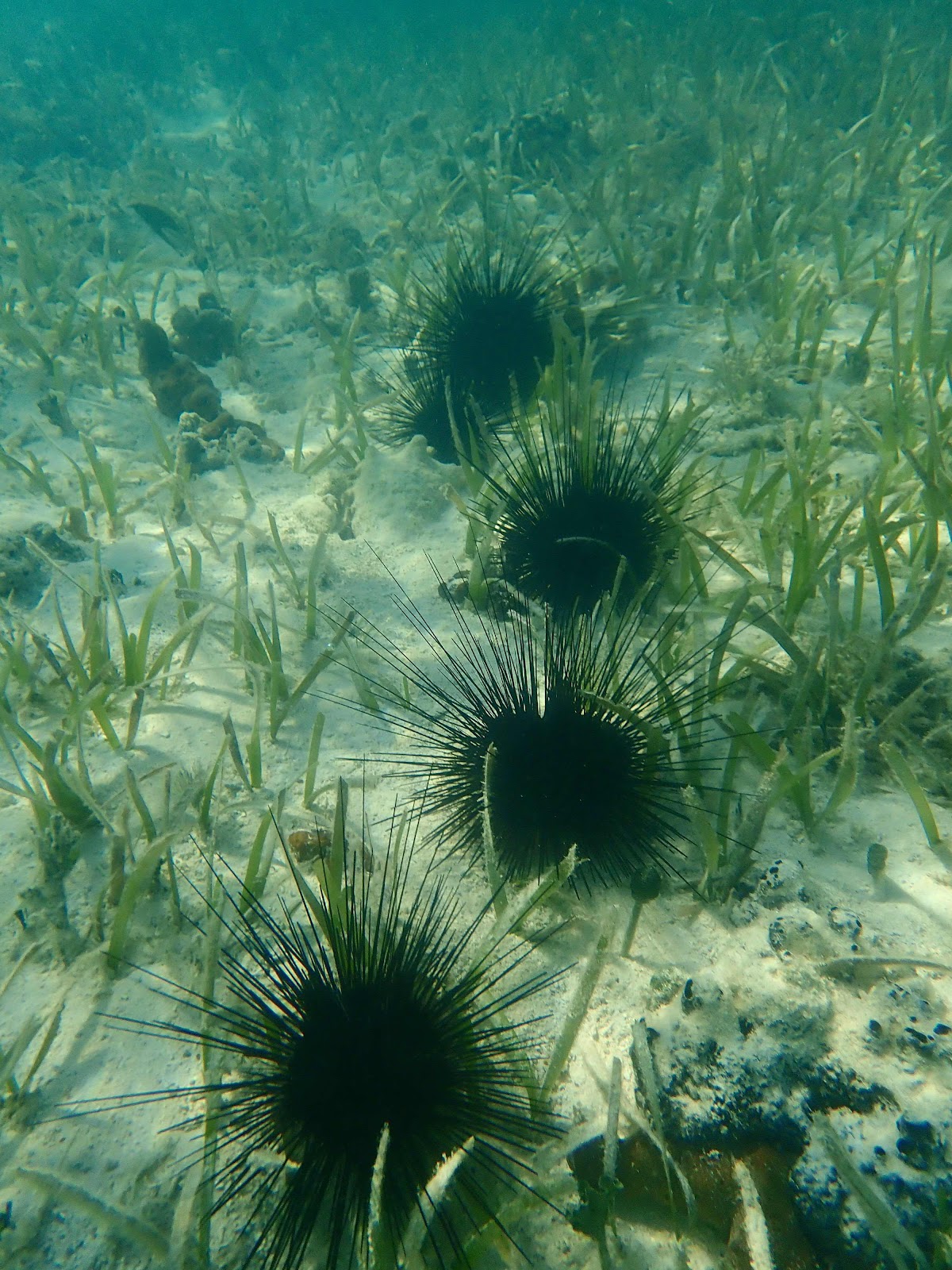
The NW corner of Rum Cay is amazingly beautiful, and very isolated.  We were here all alone.

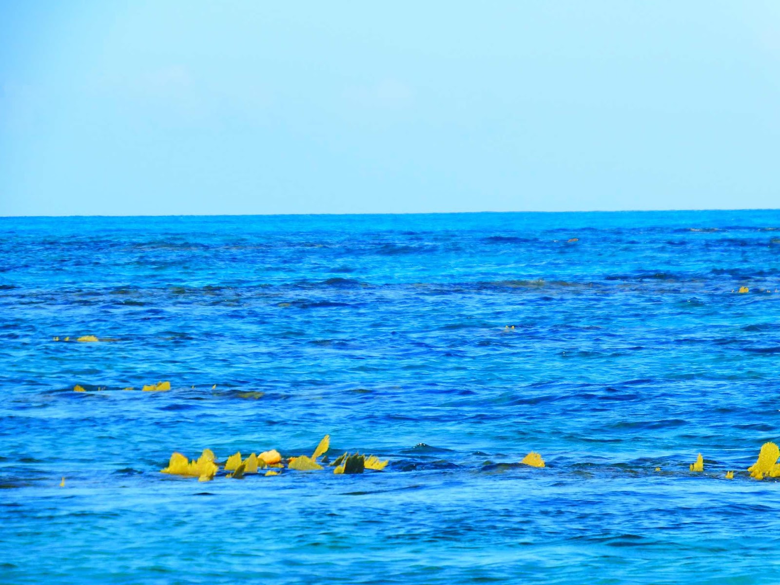
At low tide the fans flap out of the water.  If you look closely at this picture you can see patches of yellow, just under the surface, everywhere.  These are coral heads covered with fans.

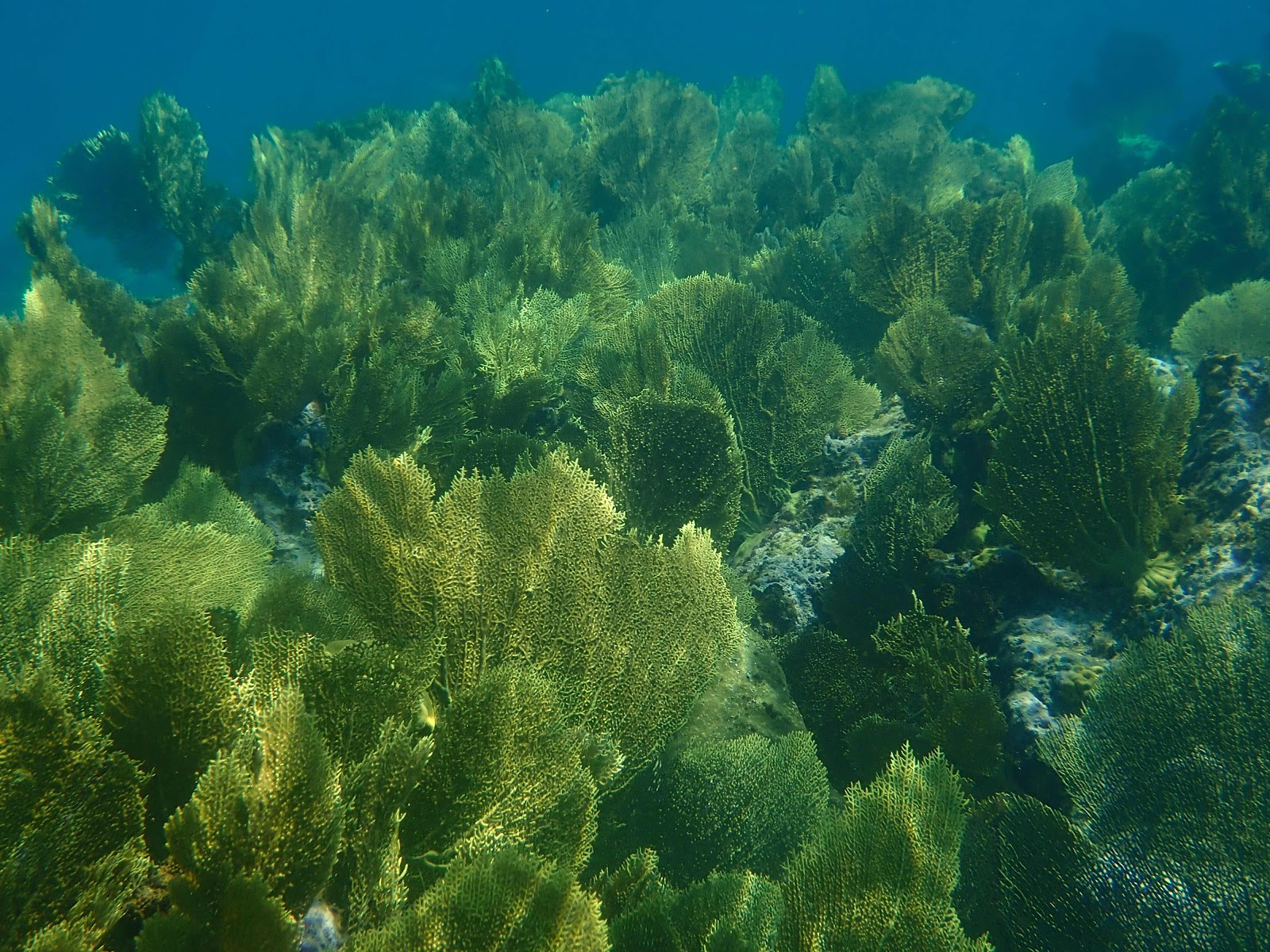
This is the view from underwater.  There are thousands of yellow fans!

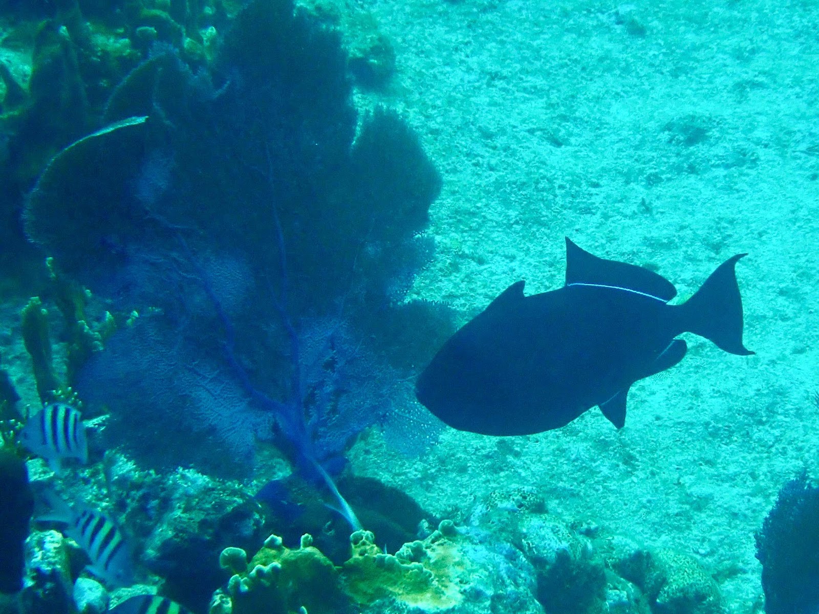
A nice variety of fish.

And healthy looking coral.

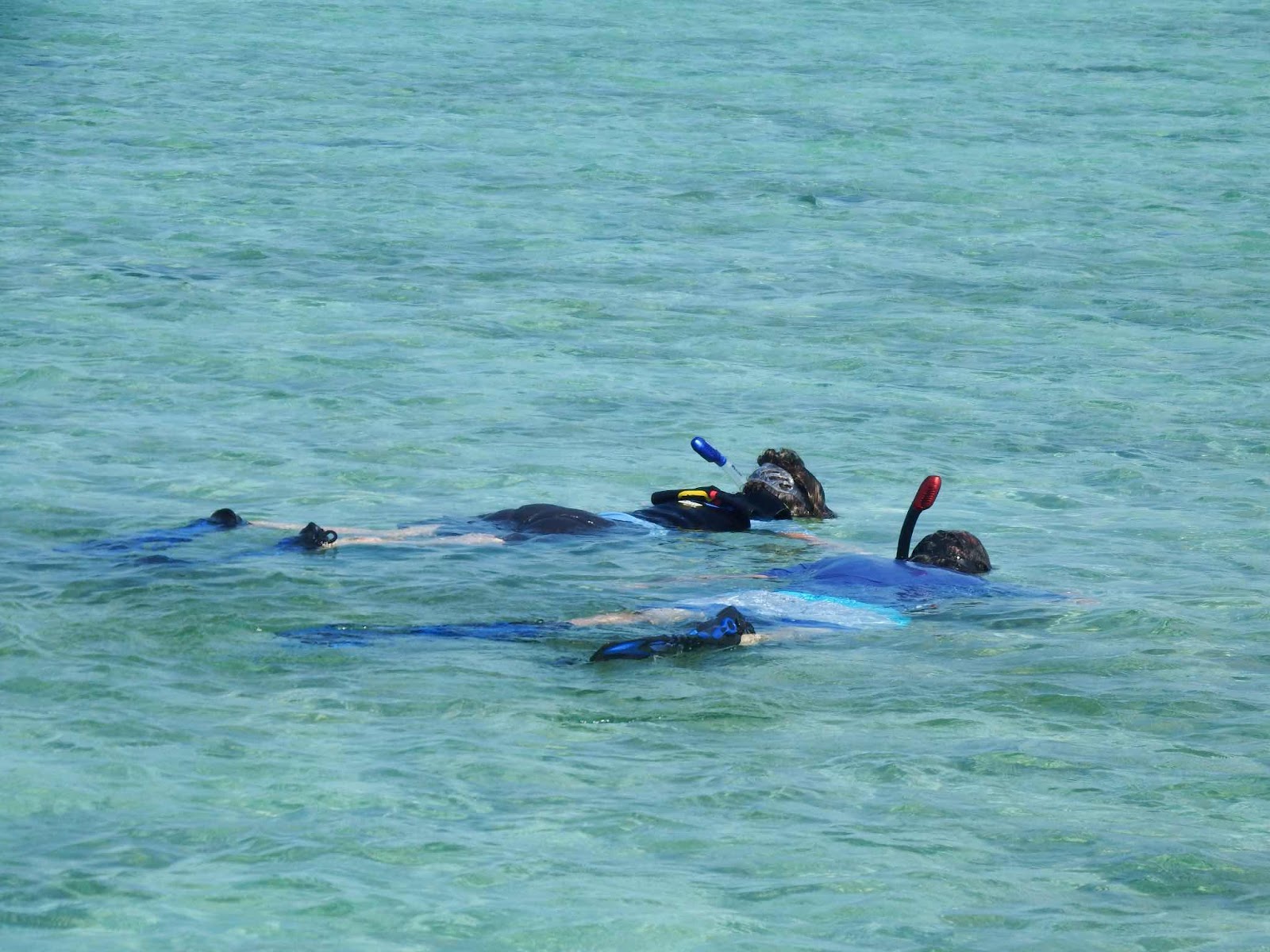
This was a wonderful place to explore!

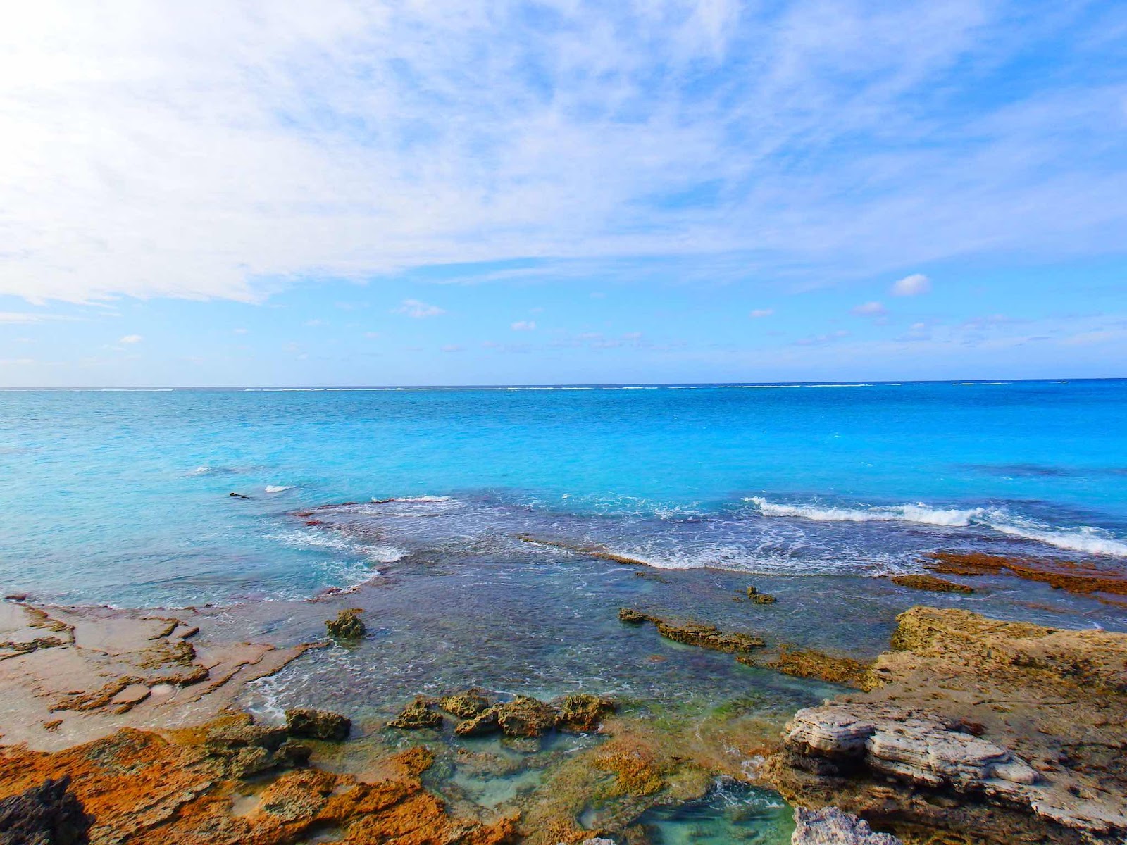
No landing on this side of the island today!


Wednesday, February 16, 2022

Pink and Salty!

We have traveled about 230 miles since our last post, and are currently back in the Bahamas.  Most of those miles were easy and beautiful, but a few were treacherous.  After saying goodbye to our guests, our next move was to get back on the south side of Providenciales before the winds returned.  

Conditions really were fairly calm until we approached the point of land where the ocean swell builds up in the more shallow water.

What a great idea…we might put a helicopter on our top deck too!

It’s funny how a prediction of 5 foot waves now sounds pretty good to us.  We have been watching the wind patterns for the past 6 weeks, and realized that weather windows with waves 5 ft or lower only occur every 10-12 days…so forecast to put some miles behind us.  We knew we needed to be in a location that offers good protection from a NE wind before Tuesday.  

The first leg of our journey was from West Caicos to Great Inagua (indicated by the green line).  The first half of the trip had 3-5 ft seas out of the east (a little lower than expected), but we were gliding over the waves quite nicely for a fairly smooth ride.  The red highlight indicates the area where all heck broke lose. Little Inagua and Great Inagua are separated by 7 miles. As we have seen many times before, waves build higher when they approach shore, so we were prepared for that.  However, we had never experienced two shores and a funnel in between…the waves were HUGE!  

I know, just a few weeks ago, I posted about the biggest waves I’ve seen…but they were big in breadth not height.  They were wide and flowing like the parachute you flapped up and down in elementary school.  These waves were not that! 

These waves were the kind that are steep, and crashing. These waves were about 14 feet high, and dwarfed any waves we have seen before.  The ordeal lasted for about an hour, during which time we didn’t attempt to move (that would have been very dangerous).  I couldn’t even get to the camera to try to get a picture.  All I could do was watch and call out (HOLD ON) when one was too steep or breaking on our port quarter.  Once we got through the passage and behind the NW tip of Great Inagua waves went down to 1-2 ft. It was a wild ride, but the boat did great, and upon reflection I don’t think I was scared at all…adrenaline takes over.

Great Inagua is 50 miles from Cuba, and 65 miles from Haiti.  This dock is used by Haitian boats to pick up items shipped by container.  The containers appear to be full of old and used items, including old cooking oil collected from restaurants.  These boats pick the items up and take them to individual communities in Haiti. Several people told us the boats are horribly overloaded when they leave.  This boat is still in the loading process…who knows what it looked like when it finally left.


After checking back into the Bahamas, which was a 6 hour ordeal for Keith (it was his turn).  We anchored in Man O War Bay, just south of the salt piles.  Salt production is the major industry on Great Inagua.  If you are reading this from a cold and snowy location, some of this salt might make its way to your roads.  Most of this salt will either be used for roads, pools, or water filtration systems.

We hired Colin to give us the Great Inagua tour.  Our tour started in the salt works…

When the brine is highly concentrated the water turns pink from carotenoid pigmentation in bacteria and algae that ‘bloom’ in high concentrations of salt.


The concentration gets so high that salt crystals settle to the bottom of the pond forming sheets of salt that look like ice.  Once the pond is saturated they drain the water and take a machine in to break up the salt sheets and scrape the salt into trucks.  The salt is then washed (with high brine water) to remove any impurities.

Flamingos love this environment.  The foam in this picture is similar to sea foam found on beaches during storms or high wind events.  The foam is created in high wind, high salt, and high algae environments.
Fun flamingo facts:
> Flamingos are filter feeders that dine on algae and brine shrimp, which contain carotenoids (pink pigment)
> Their digestive systems breaks down the carotene and stores it in fat. These fats are deposited in the cells of their skin, feathers, and beaks giving them their color.
> The brightest flamingos are those that are well fed, and those seen during winter months as strong sunlight can bleach the pigment. 

> Adult flamingos are about 42 inches tall and have a wingspan of 4-5 feet.

> Flamingos will often rest their head on their body to avoid fatigue of neck muscles.
> When flamingos hatch they are dark gray in color, and only become pink as they mature.

The next stop on our tour was the lighthouse…
As early as 1713, there were acts of piracy when local inhabitants of Great Inagua would place lanterns along the shoreline, at night, to confuse passing vessels and cause groundings.  Over the years, many vessels were wrecked in the reefs along the island’s shoreline.  In 1870 the English Crown built this lighthouse to prevent further incidents. (Bahamasgeotourism.com)

Good exercise, but if you look closely you will see a step missing…that’s a little scary.

The lighthouse provides a great view of the pump station that supplies ocean water to the salt fields.  This pump station has actually created a huge inland salt water lake, which acts as the first step in the evaporation process.

This Google earth view gives a good idea of how much of the island is used for the salt extraction process.  Colin told us the salt company owns 300,000 acres.  The locals are happy about the inland lake, as it provides a great fishing environment free from the ciguatera toxin.  While large fish do not get pumped into the system, eggs and larvae do enter the system and grow to full size in the lake environment.  Colin confirmed that even barracuda are excellent to eat when they come from the inland lake.

Meet Robert Forbes, 90, who is the last of the ‘original’ salt workers brought to Great Inagua in the 1930’s from surrounding islands.  Mr. Forbes was born on North Caicos, and worked the salt flats there until the Erickson brothers (three Americans) started the salt co on Great Inagua and recruited workers with experience.  When I asked Mr. Forbes if he worked the salt flats the old fashioned way, with rakes and shovels, his reply was, “for 44 years, 4 months, and 2 weeks!”

Thanks for a great tour Colin!

Of course, we also found time to do a little snorkeling.  This is a Black Durgon.  We first saw these in Grand Turk, but I had trouble getting a good picture.  The fins look like a moving wave as they undulate.  There is also a bright blue line along the boarder of the body and fin.

During the next leg of our trip I made a new friend.  This is Earl. Earl followed me for 2 hours while I was at the helm (and Keith was asleep). Earl knows that boats scare flying fish out of the water, and Earl took full advantage of this knowledge to eat numerous flying fish!  As soon as Keith came up on deck Earl flew away🤷🏼‍♀️

We are currently anchored on the west side of Acklins Island, waiting for the wind to calm down so we can head to Rum Cay.


Thursday, February 3, 2022

Puffer Fish Paradise

Since our last post, we have been anchored in a wonderfully protected spot between several small cays to the northeast of Providenciales.  Finally, we have found a place with no surge!!  

Our first afternoon here, I was sitting on the bow enjoying the beautiful evening…while keeping an eye on the one cloud with grey curtains of rain hanging from the underside. I was satisfied just watching the rain, but as the sun fell lower on the horizon the top of the cloud became a brilliant golden puff.  Then, the extra bonus of a rainbow…nature at its best!

Keith and I had a few days of great weather to check out the area before our guests arrived.  We snorkeled two to three locations each day, for three straight days, looking for good spots to take Patrician and Dave.

This is my first puffer fish encounter. He seemed to be as curious about me as I was about him. This is some species of Porcupine Blowfish…if you look closely you can see the spines that will stick straight out if he decides to blow!

On September 7, 2017, Turks and Caicos was devastated by the category 5 Hurricane Irma.  The docks at the Blue Haven marina were destroyed, and this is the view just off the fuel bulkhead.  There is currently one functioning dock (outside the frame of this picture on the left) and there are quite a few new floating docks being assembled on shore. 


This was Keith’s first puffer fish encounter.  Check out the horns!

We have identified several great snorkel spots for the coming week, and it looks like the great weather (with low wind) will stick around for a few more days.

Dave and Patricia arrived safely, and from this point I will leave you to enjoy our week in photographs (Dave’s idea for the blog)…


Goodbye our friends! We had a marvelous time sharing our Turks & Caicos experience with you both!

“This is visiting an island like we never have before!” Dave & P


The Continuing Saga

  Well, another month has passed since my last post, and I must report that our trying times have continued to haunt us.  Not sure if we sho...