On April 11, at 4:00 p.m., we left Samana for a 25 hour run to Puerto Real, Puerto Rico. This was probably the most planned leg we have made, because of the reputation of Mona Passage. Mona Passage is the area between Dominican Republic, and Puerto Rico. The conditions in this area are much more dynamic than any we have experienced before. The trade winds, mountains, and depth extremes work together to create treacherous waters between the two islands.
I have paid close attention to the numerous accounts, and tried to learn from the successes and mistakes of others. If you plan to make this trip in your own vessel, I strongly suggest you read ‘The Gentleman’s Guide to Passages South’ by Bruce Van Sant. We followed all of his points of advice (starting with the time of our departure), and we had a very good crossing.

This is the route we took, which might look odd because we followed the land so closely for so long. Conditions are calmer close to land in the evening and over night, because the trade winds die down, and the wind comes off the land. The terrifying part of this route is the possibility of getting tangled in fishing gear in the dark, and it was a very dark night. At one point, I could see a faint light, once in a while, but the radar wasn’t picking up anything in that location. After about an hour I suddenly saw a light right in front of me. I changed course to starboard, and slowed to idle. When I looked closely with binoculars I could barely make out the silhouettes of about 10 small dinghies working nets. Only one had a small flashlight (or possibly cell phone light) to warn off vessels.

This is the real culprit to the treacherous conditions in Mona Passage…Hourglass Shoals! All of the area between the two islands is a shoal, but the hourglass shaped portion, immediately off the east side of DR, is extremely shallow in relation to the surrounding waters. The Hourglass area is between 100-500 feet deep. That might sound pretty deep, but not considering the waters to the north and south.
I will mention that it is also possible to take a route north of the Hourglass, and turn south only after passing the NE corner of the shoal. We attempted to take the north route, but experienced very rough conditions as we got farther from land so we returned to the inside route.
I drew the Hourglass Shoal in this picture, to help you visualize. The Atlantic Ocean to the north and the Caribbean Sea to the south are both over 20,000 ft deep in this area. There are a variety of currents at play including (but not limited to) currents created because of temperature and/or salinity differences, tidal movement, earth’s rotation…etc. This water wants to flow, but the flow is drastically hindered between DR and PR just because of the depth. All levels of currents get forced to the surface here, and that is the primary cause for the large and confused waves. Add a wind event and the word treacherous is born.
Of course, we waited for ideal weather conditions…
Sunset on the ocean.
The next morning the water was an amazing blue!
After 24 hours at sea, it is nice to see our destination. Considering the amount of concern I had about this crossing, I think it went very well. The only thing I would do differently next time would be to go a little farther south of the shoal before turning east. We still experienced some very bumpy conditions in that area, but nothing terrible.
Since Puerto Rico is a U.S. territory, checking in was a breeze with the ROAM app.
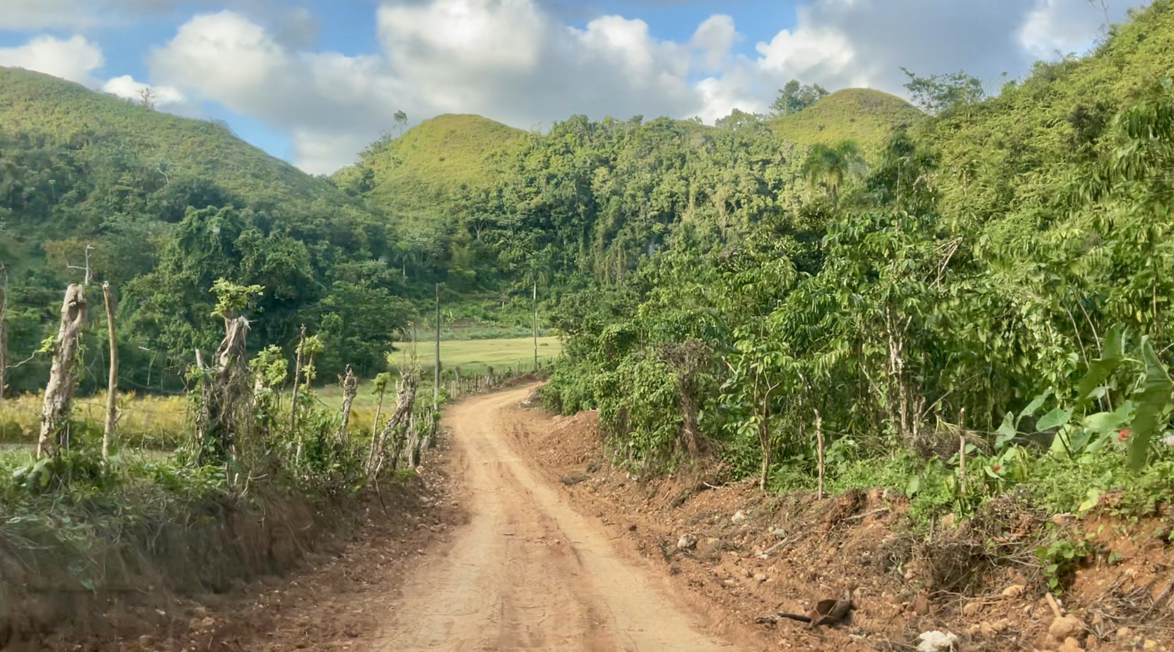
Cruising along the southern coast
I love the beautiful blue hues of the water, with the mountains in the background. Can you see the ‘eye in the sky’?
TARS (Tethered Aerostat Radar System) augments existing radar systems, providing enhanced surveillance and detection of suspicious airborne and maritime activities
As we walk around the small waterfront towns we notice a lot of signs directing us where to run in the event of a tsunami 😳
Homes in the town of Guánica have been repaired after a terrible earthquake caused massive damage in 2020.
Many of the homes here are absolutely adorable!
The dogs are very lazy, and it wasn’t even that hot.
We traveled to the island of Vieques (I was told by locals that it is pronounced like Vegas🤷♀️)
This is a fun, vacation/party type of town.
Keith offered me this seat😂…I’m sure he didn’t mean anything by it
The harbor walk has beautiful views.
Plenty of photo opportunities
This mango tree was in someone’s yard. I had high hopes of buying fresh mango when we found a market…but it was not to be…
We found very little in the way of fresh fruits or vegetables, but they had a plethora of canned seafood😬
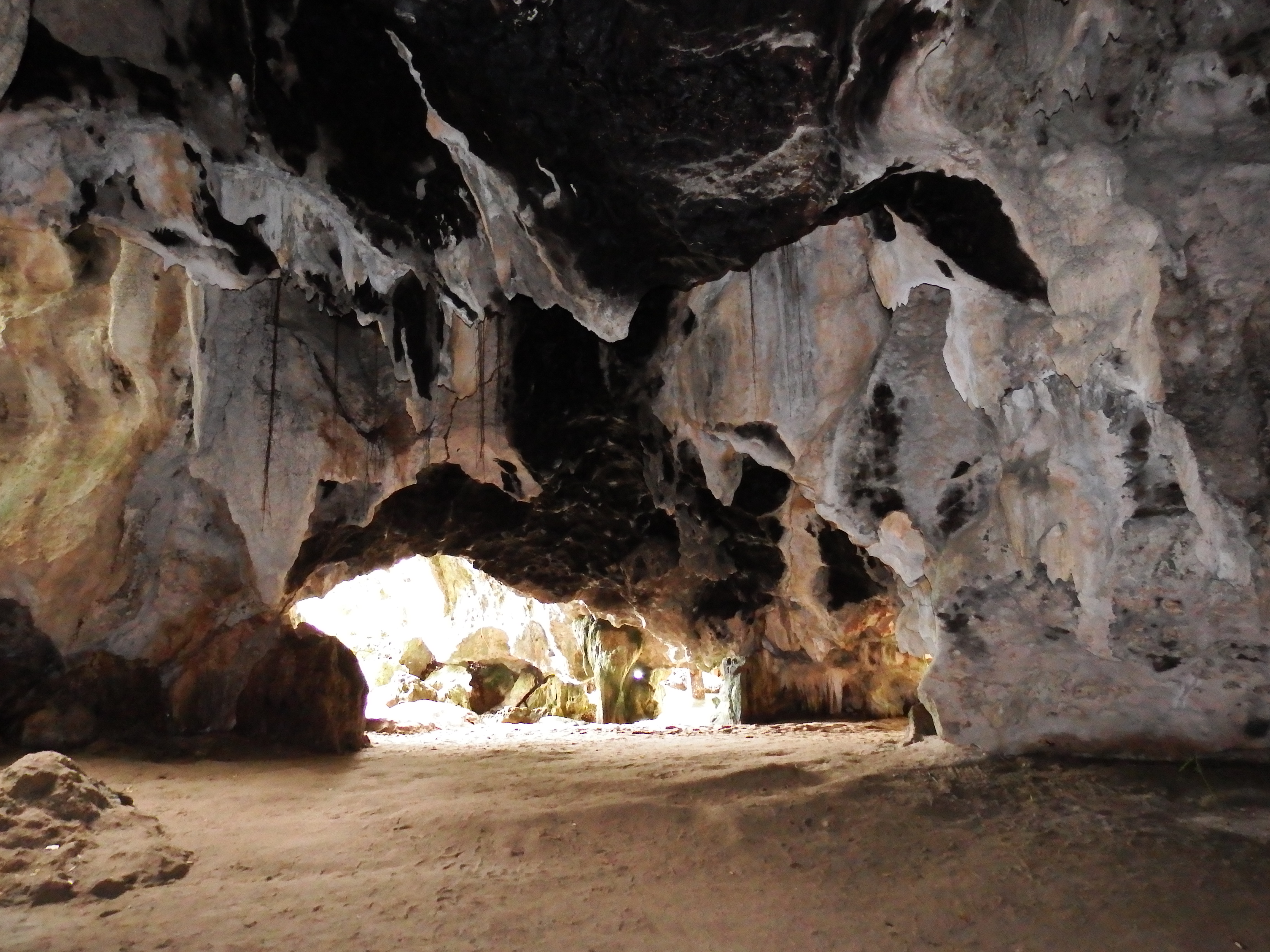
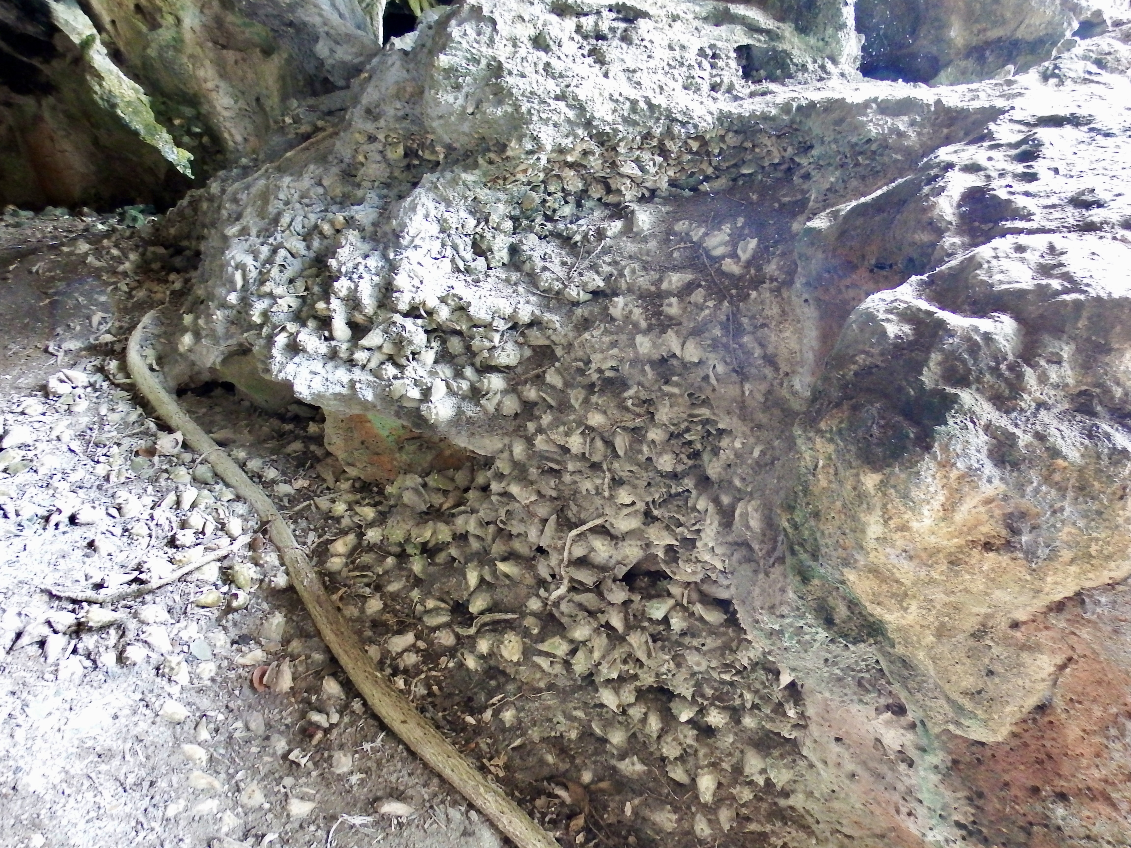
We were able to do a little snorkeling. There was a lot of damage to hard corals, but a lot of soft corals were present.
Keith took a picture of me diving down to take a picture of a lionfish.
This was the picture I was taking👍
Rarely are we found getting ready to leave for an adventure at 6:30 p.m., but this evening was different. One of the main reasons for our visit to this island was to see the biobay.

After dark, on April 22nd, we visited Mosquito Bay, also known as Bioluminescent Bay, Vieques, it is the brightest bioluminescent bay in the world, located on the island of Vieques, Puerto Rico. The bay's mesmerizing glow is caused by high concentrations of dinoflagellates, specifically Pyrodinium bahamense, which emit a blue light when disturbed, according to Discover Puerto Rico.
This is not my picture, but this is exactly how it looked. We took both our GoPro and underwater cameras, but neither had a low light setting adequate to capture this. It was magical! Everything that touched the water looked like an effervescent fiz. The paddle stroke made a million tiny bubble lights, even when the paddle dripped the drops created light puddles. If you sat perfectly still and looked into the water it looked like a snow globe with tiny lights blinking into the depths, as the organisms bounced into each other. As we paddled through the bay we could see zigzag streaks of light from every minnow and creature we startled. Some streaks were huge! We paddled to the edge of the mangroves, and the roots glowed all the way down.
It was really fantastic!
Unfortunately, we did not get to explore all of the places we had planned to see in Puerto Rico. We originally wanted to rent a car and visit Old San Juan, and some of the waterfalls in the area. However, we decided that it would be wise to take a very good weather window to get much farther south. In light of the distance we still needed to cover, we decided the prudent thing would be to go south when we had the chance. I’ll fill you in on our very long cruise in the next blog post.
If you are not currently receiving these posts by email, and would like future posts to come directly to your inbox, please send me a message at MVRightHand@gmail.com